El Sobrante in Contra Costa County, California — The American West (Pacific Coastal)
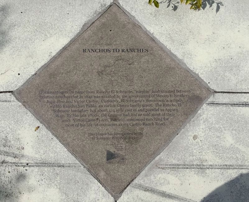
Ranchos to Ranches
Erected 2014 by El Sobrante Historical Society.
Topics. This historical marker is listed in this topic list: Agriculture.
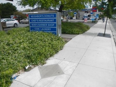
Location. 37° 57.882′ N, 122° 18.964′ W. Marker is in El Sobrante, California, in Contra Costa County. Marker is on San Pablo Dam Road near Hillcrest Road, on the left when traveling east. Touch for map. Marker is at or near this postal address: 3737 San Pablo Dam Road, El Sobrante CA 94803, United States of America. Touch for directions.
Other nearby markers. At least 8 other markers are within walking distance of this marker. First Supermarket/Foster's Freeze (within shouting distance of this marker); Park Theatre (about 300 feet away, measured in a direct line); Arrival of the Strip Mall (about 500 feet away); California & Nevada Railroad (about 500 feet away); El Sobrante's First Bank (about 600 feet away); Cowboy Country (approx. 0.2 miles away); El Sobrante's First Full-service Post Office (approx. 0.2 miles away); El Sobrante Chevrolet Service (approx. 0.3 miles away). Touch for a list and map of all markers in El Sobrante.
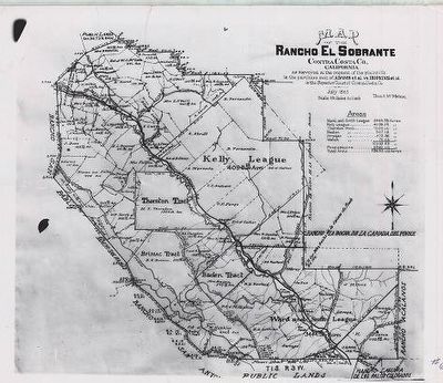
Also see . . . Rancho El Sobrante -- Wikipedia. With the cession of California to the United States following the Mexican-American War, the 1848 Treaty of Guadalupe Hidalgo provided that the land grants would be honored. As required by the Land Act of 1851, a claim for Rancho El Sobrante was filed with the Public Land Commission by Juan José Castro and Victor Castro in 1852. The sobrante grant presented a complicated case of land ownership when it came into the U.S. courts. The area was entirely surrounded by other grants and its boundaries determined by the boundaries of the surrounding grants. After legal conflicts lasting more than three decades, a grant of over 20,000 acres (81 km2) was patented to Juan José Castro and Victor Castro in 1883. (Submitted on April 28, 2016, by Barry Swackhamer of Brentwood, California.)
Credits. This page was last revised on February 19, 2019. It was originally submitted on April 28, 2016, by Barry Swackhamer of Brentwood, California. This page has been viewed 552 times since then and 28 times this year. Photos: 1. submitted on February 19, 2019. 2, 3. submitted on April 28, 2016, by Barry Swackhamer of Brentwood, California.


