Old West Side in Ann Arbor in Washtenaw County, Michigan — The American Midwest (Great Lakes)
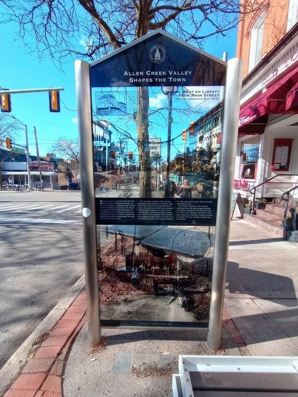
Allen Creek Valley Shapes the Town
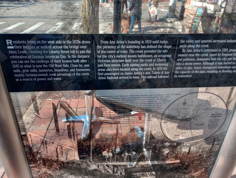
Residents living on the west side in the 1870s drove their buggies or walked across the bridge over Allen Creek, climbing the Liberty Street hill to join the celebration of German American Day. In the distance you can see the rooftops of their homes built after 1845 in what is now the Old West Side. Close by, saw mills, grist mills, tanneries, foundries, and breweries, mainly German-owned, took advantage of the creek as a source of power and water.
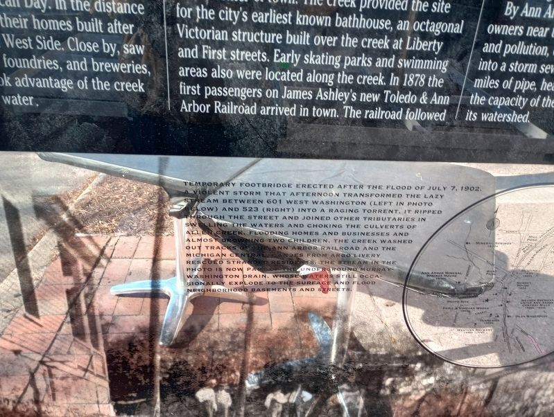
From Ann Arbor's founding in 1824 until today, the presence of the waterway has defined the shape of the center of town. The creek provided the site for the city's earliest known bathhouse, an octagonal Victorian structure built over the creek at Liberty and First streets. Early skating parks and swimming areas also were located along the creek. In 1878 the first passengers on James Ashley's new Toledo & Ann Arbor Railroad arrived in town. The railroad followed the valley and spurred increased industrial development along the creek.
By Ann Arbor's centennial in 1924, property owners near the creek, upset by frequent flooding and pollution, demanded that the city put the creek into a storm sewer. Although it was buried in twelve miles of pipe, heavy downpours sometimes exceeded the capacity of the pipe, resulting in flooding along its watershed.
Erected 2001 by Ann Arbor Historic District Commission.
Topics. This historical marker is listed in these topic lists: Industry & Commerce • Railroads & Streetcars • Roads & Vehicles • Settlements & Settlers. A significant historical year for this entry is 1845.
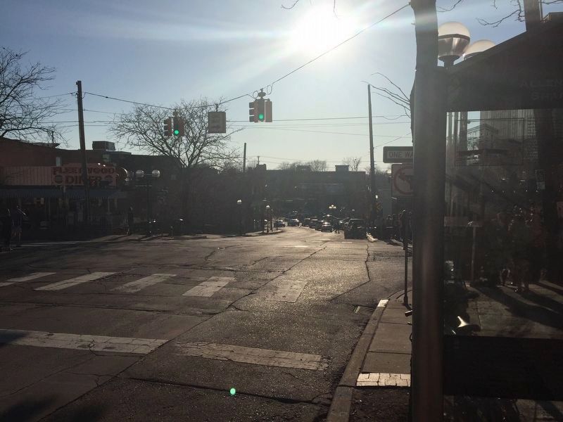
Location. 42° 16.781′ N, 83° 44.982′ W. Marker is in Ann Arbor, Michigan, in Washtenaw County. It is in the Old West Side. Marker is at the intersection of Liberty Street and Ashley Street on Liberty Street. Touch for map. Marker is in this post office area: Ann Arbor MI 48104, United States of America. Touch for directions.
Other nearby markers. At least 8 other markers are within walking distance of this marker. The Ann Arbor Railroad (here, next to this marker); Industry and Recreation on Allen Creek (here, next to this marker); Germans on Ashley Street (about 300 feet away, measured in a direct line); The Staeblers and the Germania/American Hotel (about 300 feet away); Germans In Ann Arbor (about 300 feet away); The Main Street Shopping Experience (about 300 feet away); Main Street Shopping Expands (about 300 feet away); Downtown Movie Theaters (about 400 feet away). Touch for a list and map of all markers in Ann Arbor.
Also see . . . Downtown Ann Arbor Historical Street Exhibit Program website. (Submitted on July 18, 2016, by Kevin Vincent of Arlington, Virginia.)
Credits. This page was last revised on November 24, 2023. It was originally submitted on May 2, 2016, by Kevin Vincent of Arlington, Virginia. This page has been viewed 392 times since then and 13 times this year. Last updated on November 14, 2023, by Craig Doda of Napoleon, Ohio. Photos: 1, 2, 3. submitted on November 14, 2023, by Craig Doda of Napoleon, Ohio. 4. submitted on July 18, 2016, by Kevin Vincent of Arlington, Virginia. • J. Makali Bruton was the editor who published this page.


