Near Voss in Coleman County, Texas — The American South (West South Central)
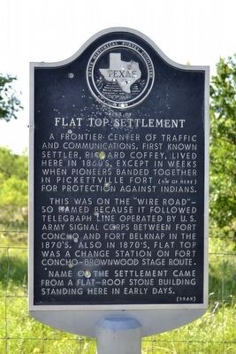
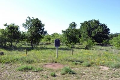
Site of Flat Top Settlement
This was on the “Wire Road”—so named because it followed telegraph line operated by U.S. Army Signal Corps between Fort Concho and Fort Belknap in the 1870’s. Also in 1870’s, Flat Top was a change station on Fort Concho–Brownwood stage route.
Name of the settlement came from a flat-roof stone building standing here in early days.
Erected 1969 by State Historical Survey Committee. (Marker Number 4792.)
Topics. This historical marker is listed in these topic lists: Settlements & Settlers • Wars, US Indian.
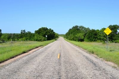
Location. 31° 35.966′ N, 99° 36.166′ W. Marker is near Voss, Texas, in Coleman County. Marker is on Farm to Market Road 2134, 1.9 miles west of Farm to Market Road 503, on the left when traveling west. Touch for map. Marker is in this post office area: Voss TX 76888, United States of America. Touch for directions.
Other nearby markers. At least 5 other markers are within 15 miles of this marker, measured as the crow flies. Trap Crossing Cemetery - Coffey Cemetery - Gann Family Cemetery (approx. 4 miles away); Richard A. Pauley (approx. 10.1 miles away); Valera Cemetery (approx. 10.2 miles away); Shields Cemetery (approx. 10˝ miles away); Centennial School (approx. 14.2 miles away).
Also see . . . Flat Top, TX. From the Texas State Historical Association’s “Handbook of Texas Online”. (Submitted on May 4, 2016.)
Credits. This page was last revised on November 2, 2020. It was originally submitted on May 4, 2016, by Duane Hall of Abilene, Texas. This page has been viewed 307 times since then and 17 times this year. Photos: 1, 2, 3. submitted on May 4, 2016, by Duane Hall of Abilene, Texas.


