Near Dahlonega in Lumpkin County, Georgia — The American South (South Atlantic)
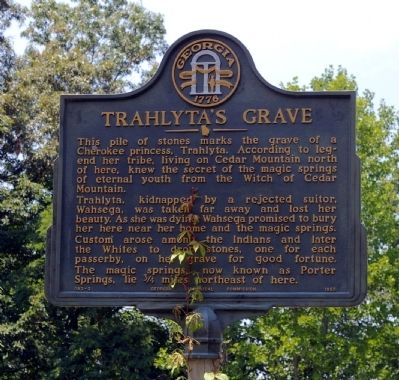
Trahlyta’s Grave
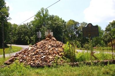
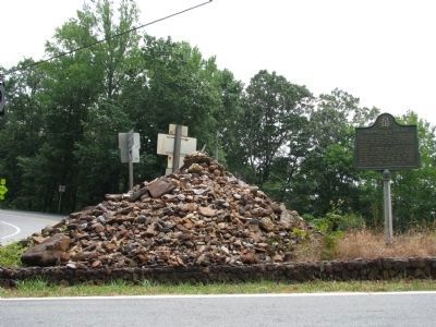
Trahlyta, kidnapped by a rejected suitor, Wahsega, was taken far away and lost her beauty. As she was dying, Wahsega promised to bury her here near her home and the magic springs. Custom arose among the Indians and later the Whites to drop stones, one for each passerby, on her grave for good fortune.
The magic springs, now known as Porter Springs, lie 3/4 miles northeast of here.
Erected 1953 by Georgia Historical Commission. (Marker Number 093-3.)
Topics and series. This historical marker is listed in this topic list: Native Americans. In addition, it is included in the Georgia Historical Society series list.
Location. 34° 37.65′ N, 83° 57.283′ W. Marker is near Dahlonega, Georgia, in Lumpkin County. Marker is at the intersection of U.S. 19 and Georgia Route 60, on the left when traveling north on U.S. 19. Marker and grave are in center of intersection of US 19 and Ga 60 north of Dahlonega. Touch for map. Marker is in this post office area: Dahlonega GA 30533, United States of America. Touch for directions.
Other nearby markers. At least 8 other markers are within 7 miles of this marker, measured as the crow flies. "Gold Diggers' Road" (approx. 4 miles away); Homesite of Joseph Emerson Brown (approx. 5.9 miles away); Consolidated Gold Mines (approx. 6.3 miles away); Dahlonega Mustering Grounds (approx. 6.6 miles away); Dahlonega Stories (approx. 6.7 miles away); a different marker also named Dahlonega Stories (approx. 6.7 miles away); Restoration & Preservation by Cotrell, Inc. (approx. 6.7 miles away); Maibaum History Tree (approx. 6.7 miles away). Touch for a list and map of all markers in Dahlonega.
Credits. This page was last revised on April 3, 2020. It was originally submitted on July 22, 2008, by David Seibert of Sandy Springs, Georgia. This page has been viewed 5,139 times since then and 114 times this year. Photos: 1, 2. submitted on July 22, 2008, by David Seibert of Sandy Springs, Georgia. 3. submitted on November 10, 2009, by Cosmos Mariner of Cape Canaveral, Florida. • Kevin W. was the editor who published this page.


