Near Harpster in Wyandot County, Ohio — The American Midwest (Great Lakes)
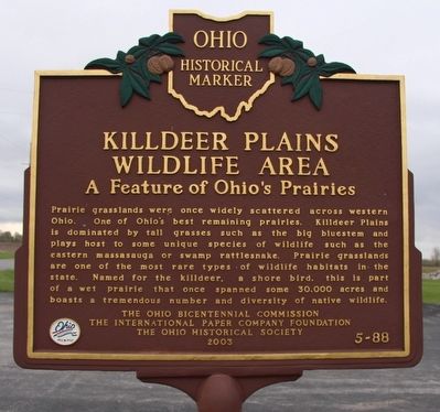
Killdeer Plains Wildlife Area
A Feature of Ohio's Prairies
Erected 2003 by Ohio Bicentennial Commission, The International Paper Company Foundation, and The Ohio Historical Society. (Marker Number 5-88.)
Topics and series. This historical marker is listed in this topic list: Environment. In addition, it is included in the Ohio Historical Society / The Ohio History Connection series list.
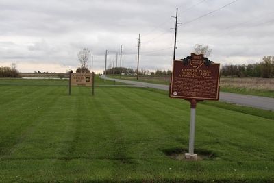
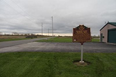
Location. 40° 42.899′ N, 83° 17.982′ W. Marker is near Harpster, Ohio, in Wyandot County. Marker is on County Route 115 south of County Route 71. This marker is located south of Upper Sandusky and west of Harpster, in the middle of the Ohio Department of Natural Resources (ODNR), Killdeer Plains Wildlife Area, on the front grounds of the state owned buildings for the management of this designated wildlife area. Touch for map. Marker is at or near this postal address: 19098 County Highway 115, Harpster OH 43323, United States of America. Touch for directions.
Other nearby markers. At least 8 other markers are within 8 miles of this marker, measured as the crow flies. to Fort Morrow / to Fort Ferree (approx. 5.3 miles away); Upper Sandusky (approx. 5.9 miles away); Stephan Lumber Company / “The Shawshank Redemption” Woodshop (approx. 7.7 miles away); Wyandot Museum (approx. 7.8 miles away); Co. B 2nd O.V.I. Veterans Memorial (approx. 7.8 miles away); Harrison Smith Park Veterans Memorial (approx. 7.8 miles away); Robbins Post No. 91 G.A.R. Grove (approx. 7.8 miles away); Wyandot Indian Council House (approx. 7.8 miles away).
Credits. This page was last revised on June 16, 2016. It was originally submitted on May 9, 2016, by Dale K. Benington of Toledo, Ohio. This page has been viewed 513 times since then and 74 times this year. Photos: 1, 2, 3. submitted on May 9, 2016, by Dale K. Benington of Toledo, Ohio.


