Vacaville in Solano County, California — The American West (Pacific Coastal)
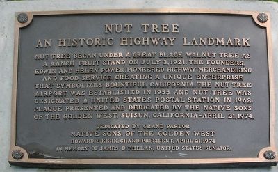
Nut Tree
An Historic Highway Landmark
Erected 1974 by Grand Parlor, Native Sons of the Golden West.
Topics and series. This historical marker is listed in these topic lists: Agriculture • Entertainment • Industry & Commerce. In addition, it is included in the Historic Trees, and the Native Sons/Daughters of the Golden West series lists. A significant historical date for this entry is July 3, 1921.
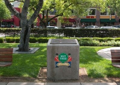
Location. 38° 22.178′ N, 121° 57.67′ W. Marker is in Vacaville, California, in Solano County. Marker is on East Monte Vista Avenue, 0.1 miles west of Nut Tree Road. The marker is in the little park with the carousel and miniature railroad. It is on the southwest side, near the middle and inside the miniature railroad tracks. Touch for map. Marker is in this post office area: Vacaville CA 95696, United States of America. Touch for directions.
Other nearby markers. At least 8 other markers are within 2 miles of this marker, measured as the crow flies. Old Town Hall (approx. 1.6 miles away); Walker Opera House (approx. 1.6 miles away); The Odd Fellows Hall (approx. 1.7 miles away); Built 1864 (approx. 1.7 miles away); Gillespie’s Store (approx. 1.7 miles away); Site of First Business Building of Record (approx. 1.7 miles away); Triangle Building (approx. 1.7 miles away); "The Hospital" (approx. 1.7 miles away). Touch for a list and map of all markers in Vacaville.
Credits. This page was last revised on June 16, 2016. It was originally submitted on May 10, 2016, by James King of San Miguel, California. This page has been viewed 476 times since then and 18 times this year. Photos: 1, 2. submitted on May 10, 2016, by James King of San Miguel, California. • Syd Whittle was the editor who published this page.

