Pollock Pines in El Dorado County, California — The American West (Pacific Coastal)
The Pony Express
Inscription.
The Pony Express originated in 1860, when our nation was divided and civil war threatened. Communication between California and Washington DC took months. Although the Pony Express existed little more than 18 months, it played a major role in the developing the post Gold Rush era in California and helped helped to protect the west coast from confederate piracy and efforts to overthrow the state government.
The Sportsman Hall in Pollock Pines was the original and only way-station in California. Because of the many hazards facing the Pony Express riders, they were usually young unmarried men. The changing of horse and mail saddle bag were done in a matter of minutes.
Erected by Sponsored by Walter R. Harmon and Sportsman Hall.
Topics. This historical marker is listed in these topic lists: Communications • Notable Events. A significant historical year for this entry is 1860.
Location. Marker is missing. It was located near 38° 45.767′ N, 120° 34.68′ W. Marker was in Pollock Pines, California, in El Dorado County. Marker was at the intersection of Pony Express Trail (Lincoln Highway) and Forebay Road, on the right when traveling east on Pony Express Trail (Lincoln Highway). The marker is located at the Northwest corner of the Safeway parking lot. Touch for map. Marker was at or near this postal address: 6498 Pony Express Trail, Pollock Pines CA 95726, United States of America. Touch for directions.
Other nearby markers. At least 8 other markers are within 2 miles of this location, measured as the crow flies. Logging in El Dorado County (here, next to this marker); The California Gold Rush (here, next to this marker); The Mormon Emigrant Trail (here, next to this marker); Bullion Bend Robbery (here, next to this marker); Johnson Cutoff - Took the Hangtown Road (within shouting distance of this marker); In Memory of the Bravery of Our Pioneer Officers (approx. 1˝ miles away); Carson Trail - To Pleasant Valley (approx. 1.6 miles away); Carson Trail - Junction (approx. 1.8 miles away). Touch for a list and map of all markers in Pollock Pines.
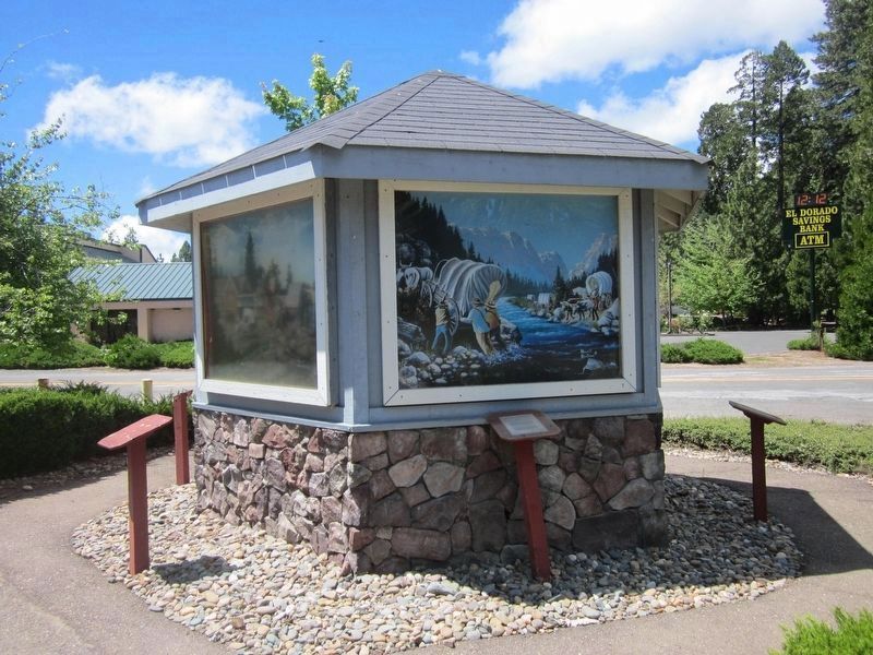
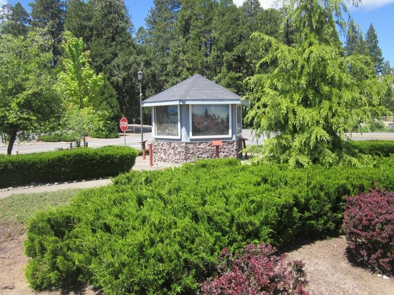
More about this marker. This marker is placed at a six-sided kiosk having six markers and paintings depicting the events described on the markers. This marker and one other are missing.
Related marker. Click here for another marker that is related to this marker. To better understand the relationship, study each marker in the order shown.
Credits. This page was last revised on July 14, 2016. It was originally submitted on May 15, 2016, by Syd Whittle of Mesa, Arizona. This page has been viewed 326 times since then and 12 times this year. Photos: 1. submitted on May 15, 2016, by Syd Whittle of Mesa, Arizona. 2. submitted on May 14, 2016, by Syd Whittle of Mesa, Arizona.
Editor’s want-list for this marker. Photo of the marker prior to going missing. • Can you help?

