Ewing Township in Hopewell Township in Mercer County, New Jersey — The American Northeast (Mid-Atlantic)
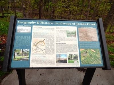
Geography & Historic Landscape of Jacobs Creek
Early Development
Attracted by rich soils, farmers began settling in the area around Jacobs Creek as early as the late 17th century. The agricultural landscape and heritage they established defined the region’s unique identity.
Prior to 1690, few settlers established themselves north of the Falls of the Delaware (at present day Trenton). By the end of the 17th century, however, settlers of European descent from Long Island and East Jersey had begun to flood into the Hopewell area. This influx would continue unabated until the Revolution. These new farmers clear-cut most of the existing forests and began cultivating the land. In the process, they established large farmsteads which became family seats that persisted for many generations. Gradually, however, as the population expended, so did demand for arable land. The large farms established during the early Colonial period were subsequently subdivided into increasingly smaller farmsteads. Often this was done in order to provide each of a family’s sons with his own tract of land.
Washington at Jacobs Creek
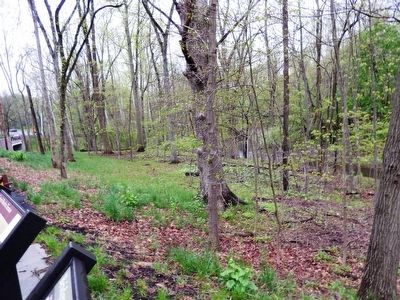
By the time George Washington’s troops marched down Bear Tavern Road in late December of 1776, the landscape they would have encountered was characterized by expansive, open farm fields dotted by scattered farmsteads. Although isolated strands of trees would have existed in farm wood lots and along the banks of the creek, it is unlikely that the forest would have been as extensive as it appears today. Most of the first growth forest would have been cleared for agricultural purposes, to supply lumber for homes and barns and wood to fuel the winter fires.
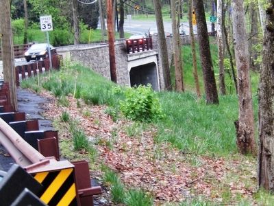
This early clearcutting would also have resulted in extensive erosion, particularly around Jacobs Creek. Although it is unclear exactly what the water level of Jacobs Creek was during this period, or how three hundred years of agricultural practice and residential and commercial development has affected erosion and water flow along the creek, it is likely that the water levels at this established ford were generally shallower than they appear today.
After the Revolution
In the century following the Revolution, the life and landscape of Hopewell remained largely unchanged. Although agricultural production and natural farmland drove many settlers west in search of better land and opportunity. Transportation and industrial developments that altered the landscape of other parts of the nation did not dramatically impact the Hopewell area, as many of these “improvements” were integrated relatively seamlessly into the existing rural landscape.
(Inscription in the box on the left)
Colonial Farmsteads
During the Colonial period, there was remarkable consistency in the layout and features of the region’s farmsteads. Every farm contained a nucleus of buildings and other features arranged around a farmyard. Settlers chose sites with shelter from wind, rain and flexaling, a nearby source of potable water, and solid, elevated ground. Farmhouses were situated facing south to take advantage of the warmth of southern exposure during cold winter months.
Topics. This historical marker is listed in these topic lists: Agriculture • Settlements & Settlers • War, US Revolutionary. A significant historical month for this entry is December 1776.
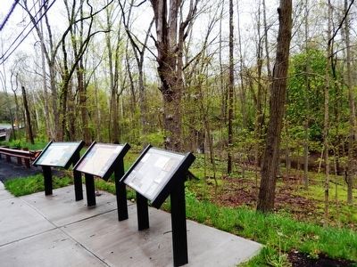
Location. 40° 17.448′ N, 74° 50.426′ W. Marker is in Hopewell Township, New Jersey, in Mercer County. It is in Ewing Township. Marker is on Jacobs Creek Road. This marker is on the left of the three markers that are together. This Marker is Missing. Touch for map. Marker is at or near this postal address: 117 Jacobs Creek Rd, Titusville NJ 08560, United States of America. Touch for directions.
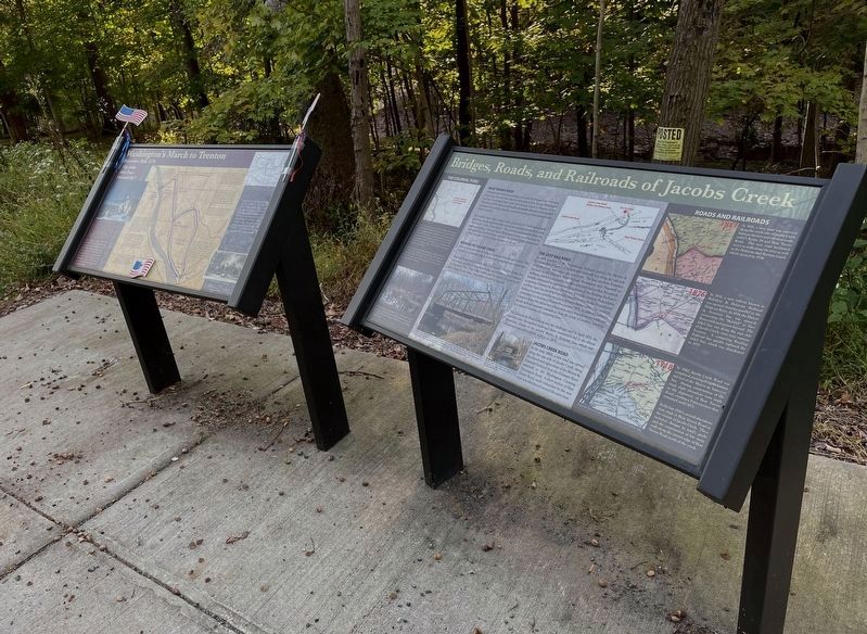
Other nearby markers. At least 8 other markers are within 2 miles of this marker, measured as the crow flies. Bridges, Roads, and Railroads of Jacobs Creek (here, next to this marker); Washington’s March to Trenton (here, next to this marker); Washington’s March To Trenton (about 400 feet away, measured in a direct line); First Hunterdon County Militia (about 500 feet away); Bear Tavern Road (approx. 0.2 miles away); Mercer Airport (approx. ¾ mile away); Continental Lane (approx. 1.4 miles away); The March to Trenton (approx. 1.4 miles away). Touch for a list and map of all markers in Hopewell Township.
Credits. This page was last revised on February 7, 2023. It was originally submitted on May 21, 2016, by Don Morfe of Baltimore, Maryland. This page has been viewed 410 times since then and 32 times this year. Last updated on November 4, 2021, by Brandon D Cross of Flagler Beach, Florida. Photos: 1, 2, 3, 4. submitted on May 21, 2016, by Don Morfe of Baltimore, Maryland. 5. submitted on November 4, 2021, by Brandon D Cross of Flagler Beach, Florida. • Michael Herrick was the editor who published this page.
