Sutter Creek in Amador County, California — The American West (Pacific Coastal)
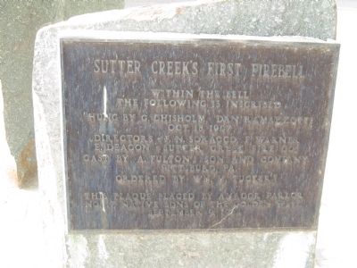
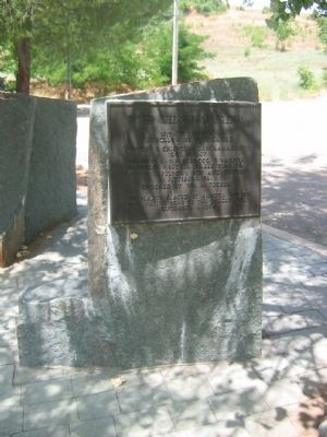
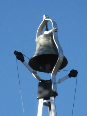
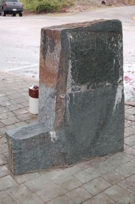
Sutter Creek’s First Fire Bell
Erected 1964 by The Amador Parlor No.17, Native Sons of the Golden West, September 9, 1964.
Topics and series. This historical marker is listed in this topic list: Charity & Public Work. In addition, it is included in the Historic Bells, and the Native Sons/Daughters of the Golden West series lists. A significant historical year for this entry is 1907.
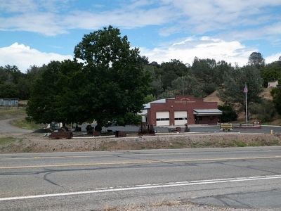
Location. 38° 24.006′ N, 120° 48.518′ W. Marker is in Sutter Creek, California, in Amador County. Marker is on Hanford Street (State Highway 49), on the right when traveling south. Marker is located at the Sutter Creek Firehouse #1. Touch for map. Marker is at or near this postal address: 350 Hanford Street, Sutter Creek CA 95685, United States of America. Touch for directions.
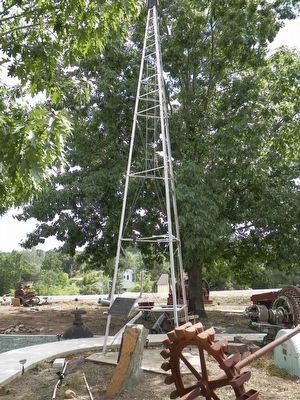
Other nearby markers. At least 8 other markers are within walking distance of this marker. William Tucker's Fire Bell (here, next to this marker); Lincoln Mine (about 800 feet away, measured in a direct line); a different marker also named Lincoln Mine (approx. ¼ mile away); 135 Amelia Street (approx. 0.3 miles away); Union Mine Boarding House (approx. 0.4 miles away); Mahoney Mine (approx. 0.4 miles away); Wildman Mine (approx. 0.4 miles away); Leland Stanford, Sr. (approx. half a mile away). Touch for a list and map of all markers in Sutter Creek.
Additional commentary.
1. Marker Moved
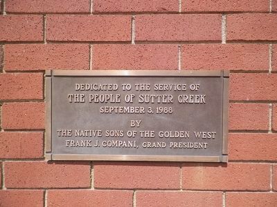
This marker was originally located near the post office. It was later moved to the main Sutter Creek Fire House on Hanford Street. An additional marker was placed in September 2010 to tell "The rest of the story" of Sutter Creek's First Fire bell.
The fire bell had previously been moved to the Fire House in 2006, but the old plaque did not get moved until 2010. Note To Editor only visible by Contributor and editor
— Submitted August 12, 2011, by Edward Arata of Sutter Creek, California.
Credits. This page was last revised on January 5, 2020. It was originally submitted on November 7, 2008, by Syd Whittle of Mesa, Arizona. This page has been viewed 1,868 times since then and 12 times this year. Last updated on May 22, 2016, by James King of San Miguel, California. Photos: 1, 2. submitted on November 7, 2008, by Syd Whittle of Mesa, Arizona. 3. submitted on May 22, 2016, by James King of San Miguel, California. 4, 5. submitted on November 7, 2008, by Syd Whittle of Mesa, Arizona. 6. submitted on July 4, 2011, by Barry Swackhamer of Brentwood, California. 7, 8. submitted on May 22, 2016, by James King of San Miguel, California.
