San Salvador, El Salvador — Central America (West Coast)
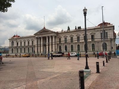
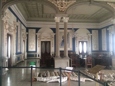
The National Palace of El Salvador
El Palacio Nacional de El Salvador
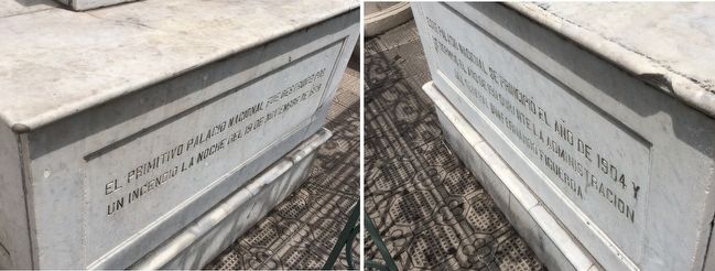
Inscription.
Este Palacio Nacional se principió el año de 1904 y se terminó el año de 1911 durante la administracion del General Don Fernando Figueroa
English translation:
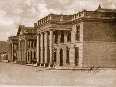
The primitive National Palace was destroyed by a fire on the night of November 19, 1889.
This National Palace was begun in 1904 and was finished in 1911 during the administration of General Fernando Figueroa.
Topics. This historical marker is listed in this topic list: Notable Buildings. A significant historical date for this entry is November 19, 1889.
Location. 13° 41.86′ N, 89° 11.497′ W. Marker is in San Salvador. Marker is on Avenida Cuscatlán close to 4a Calle Poniente, on the left when traveling south. Touch for map. Touch for directions.
Other nearby markers. At least 8 other markers are within walking distance of this marker. Capitán General Gerardo Barrios (within shouting distance of this marker); In Memory of the Murdered Jesuit Priests (within shouting distance of this marker); Farmacia Principal (about 210 meters away, measured in a direct line); Francisco Morazán (about 210 meters away); Central America's First Cry of Independence (about 240 meters away); General José Manuel Arce (approx. 0.2 kilometers away); El Rosario Church (approx. 0.3 kilometers away); Dr. José Matías Delgado (approx. 0.4 kilometers away). Touch for a list and map of all markers in San Salvador.
Photographed By J. Makali Bruton, May 19, 2016
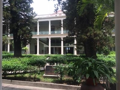
4. The Interior Courtyard of the National Palace of El Salvador
The marker in the foreground describes the inauguration of the "Museum of the Three Powers of the State" (Museo de los Tres Poderes del Estado), i.e. the Executive, Legislative and Judicial branches of government in January, 2009 under President Saca. At the time of this photo the Museum did not appear to be operating. The National Palace itself has some historical exhibits throughout the building.
Credits. This page was last revised on October 3, 2022. It was originally submitted on June 1, 2016, by J. Makali Bruton of Accra, Ghana. This page has been viewed 643 times since then and 38 times this year. Photos: 1, 2. submitted on June 1, 2016, by J. Makali Bruton of Accra, Ghana. 3, 4, 5, 6. submitted on June 2, 2016, by J. Makali Bruton of Accra, Ghana.
