Inman Park in Atlanta in Fulton County, Georgia — The American South (South Atlantic)
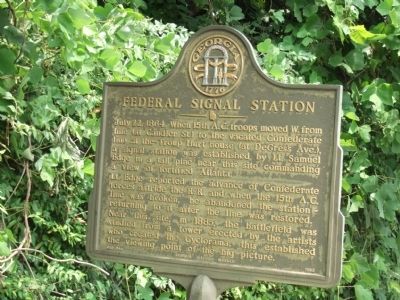
Federal Signal Station
Lt. Edge reported the advance of Confederate forces astride the R.R. and when the 15th A.C. line was broken, he abandoned the station- returning to it after the line was restored. Near this site, in 1885, the battlefield was studied from a tower erected by the artists who created the Cyclorama; this established the viewing point of the big picture.
Erected 1983 by Georgia Historic Marker. (Marker Number 060-99A.)
Topics and series. This historical marker is listed in this topic list: War, US Civil. In addition, it is included in the Georgia Historical Society series list. A significant historical date for this entry is July 22, 1852.
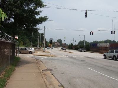
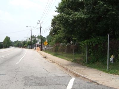
Location. 33° 45.602′ N, 84° 20.989′ W. Marker is in Atlanta, Georgia, in Fulton County. It is in Inman Park. Marker is at the intersection of Dekalb Avenue and Moreland Avenue, on the left when traveling east on Dekalb Avenue. This marker is on DeKalb Avenue where it crosses Moreland Avenue and cannot be seen from Moreland Avenue. Touch for map. Marker is in this post office area: Atlanta GA 30307, United States of America. Touch for directions.
Other nearby markers. At least 8 other markers are within walking distance of this marker. The Troup Hurt House (about 800 feet away, measured in a direct line); Manigault's Brigade (approx. 0.2 miles away); The 15th Corps Sector (approx. 0.2 miles away); Restoring the Line (approx. 0.2 miles away); The DeGress Battery (approx. 0.2 miles away); Site: The Pope House (approx. ¼ mile away); The Railroad Cut (approx. ¼ mile away); Logan’s 15th A.C. Line (approx. 0.3 miles away). Touch for a list and map of all markers in Atlanta.
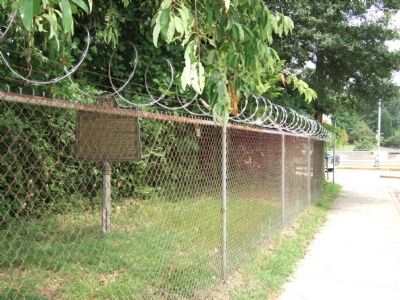
More about this marker. This marker is located behind the chain link fence of the automobile repair yard located on the north side of DeKalb Avenue just prior to the Moreland Avenue overpass.
Credits. This page was last revised on February 8, 2023. It was originally submitted on July 24, 2008, by Felch Dumas of Decatur, Georgia. This page has been viewed 1,480 times since then and 21 times this year. Photos: 1, 2, 3, 4. submitted on July 24, 2008, by Felch Dumas of Decatur, Georgia. • Craig Swain was the editor who published this page.


