Laramie in Albany County, Wyoming — The American West (Mountains)
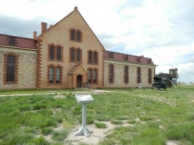
Excavation Site: Ice House
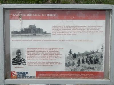
Photographed By Barry Swackhamer, May 28, 2016
1. Excavation Site: Ice House Marker
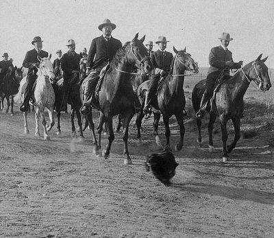
Captions: (upper left) The ice house appears in front of the prison in the photograph above. by 1890, the structure was used as a chicken coop.; (bottom left) James Brown; (bottom right) The photograph to the right was taken just west of Cheyenne. Boswell appears in the center, just left of President Roosevelt (on a white horse).
On the morning of May 30, 1903, convict James Brown was cleaning the chicken house while the guards prepared horses for Lessee N.K. Boswell and the official party ride from Laramie to Cheyenne with President Roosevelt. In their excitement, the guards locked up all the convicts, but forgot Brown. After the party rode away, Brown walked away. He was the last prisoner to ever escape from the prison.
Erected by Save Our History.
Topics. This historical marker is listed in this topic list: Notable Events. A significant historical date for this entry is May 30, 1903.
Location. 41° 18.739′ N, 105° 36.545′ W. Marker is in Laramie, Wyoming, in Albany County. Marker can be reached from West Garfield Street near Snowy Range Road (Wyoming Highway 130), on the right when traveling west. Touch for map. Marker is at or near this postal address: 710 West Garfield Street, Laramie WY 82072, United States of America. Touch for directions.
Other nearby markers. At least 8 other markers are within walking distance of this marker. Excavation Site: New Boiler Plant and Smoke Stack (within shouting distance of this marker); Excavation Site: Old Kitchen and Bakery Ovens (within shouting distance of this marker); Excavation Site: Blacksmith Shop, Candle Shop, and Outhouse (within shouting distance of this marker); Excavation Site: Basement Entrance to the Warden's House (within shouting distance of this marker); Laramie Timeline (approx. 0.7 miles away); First Woman Jury (approx. 0.7 miles away); Laramie (approx. ¾ mile away); 150 N. 2nd Street (approx. ¾ mile away). Touch for a list and map of all markers in Laramie.
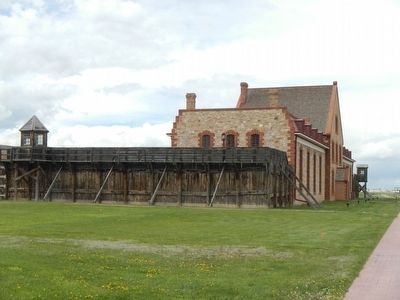
Regarding Excavation Site: Ice House. This marker is located on the grounds of the Wyoming Territorial Prison State Historic Site.
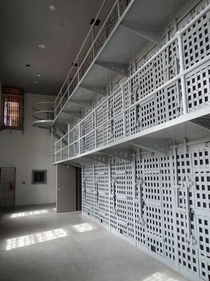
Also see . . . Wyoming Territorial Prison State Historic Site. The prison was built in 1872 and began accepting prisoners in early 1873. The facility had problems from the outset, with a fire in 1873 and recurrent jailbreaks. Of the 44 prisoners accepted in the first two years of operation, 11 escaped. (Submitted on June 20, 2016, by Barry Swackhamer of Brentwood, California.)
Credits. This page was last revised on June 20, 2016. It was originally submitted on June 20, 2016, by Barry Swackhamer of Brentwood, California. This page has been viewed 474 times since then and 20 times this year. Photos: 1, 2, 3, 4, 5. submitted on June 20, 2016, by Barry Swackhamer of Brentwood, California.
