Williamsport in Washington County, Maryland — The American Northeast (Mid-Atlantic)
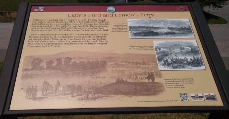
Light's Ford and Lemen's Ferry
Lemen's Ferry crossed the Potomac on a wire cable that stretched across the river. On June 1, 1861 Confederates posted opposite Williamsport skirmished with the Williamsport Home Guard for control of the ferry boat, with the townsmen maintaining possession of the vessel. After the 1863 Battle of Gettysburg, the Confederates used the ferry to transport its wounded back to Virginia.
[text with upper right photo] General Lee's Army crossing the Potomac at Williamsport, in scows guided by wires. Sketch by CEH Bonwill.
[text with middle right photo] Colonel Thomas' brigade crossing the Potomac at Williamsport, MD.
[text with lower left photo] Invasion of Maryland-Lee retreating across the Potomac to Virginia, above Williamsport, July 13. From a sketch by artist, CEH Bonwill.
Topics. This historical marker is listed in this topic list: War, US Civil. A significant historical year for this entry is 1863.
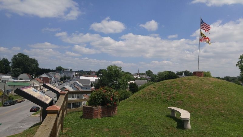
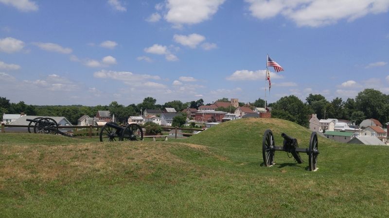
Location. 39° 35.934′ N, 77° 49.52′ W. Marker is in Williamsport, Maryland, in Washington County. Marker is at the intersection of Salisbury Street and Commerce Street, on the left when traveling west on Salisbury Street. Marker is at the top of Doubleday Hill, within the cemetery grounds. Touch for map. Marker is in this post office area: Williamsport MD 21795, United States of America. Touch for directions.
Other nearby markers. At least 8 other markers are within walking distance of this marker. Doubleday Hill (here, next to this marker); Abner Doubleday (a few steps from this marker); a different marker also named Doubleday Hill (within shouting distance of this marker); The C&O Canal in the Civil War at Williamsport (within shouting distance of this marker); River View Cemetery (about 400 feet away, measured in a direct line); Boats Passing By (about 400 feet away); The Bowie List (about 600 feet away); Welcome to Williamsport (about 600 feet away). Touch for a list and map of all markers in Williamsport.
Credits. This page was last revised on June 30, 2016. It was originally submitted on June 30, 2016, by F. Robby of Baltimore, Maryland. This page has been viewed 625 times since then and 22 times this year. Photos: 1, 2, 3. submitted on June 30, 2016, by F. Robby of Baltimore, Maryland.


