Near Alcova in Natrona County, Wyoming — The American West (Mountains)
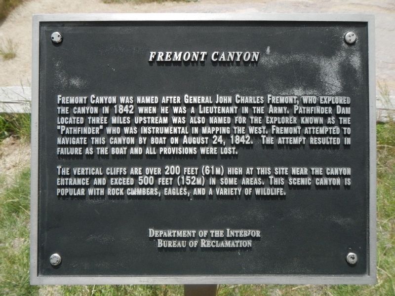
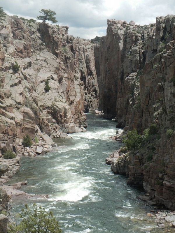
Fremont Canyon
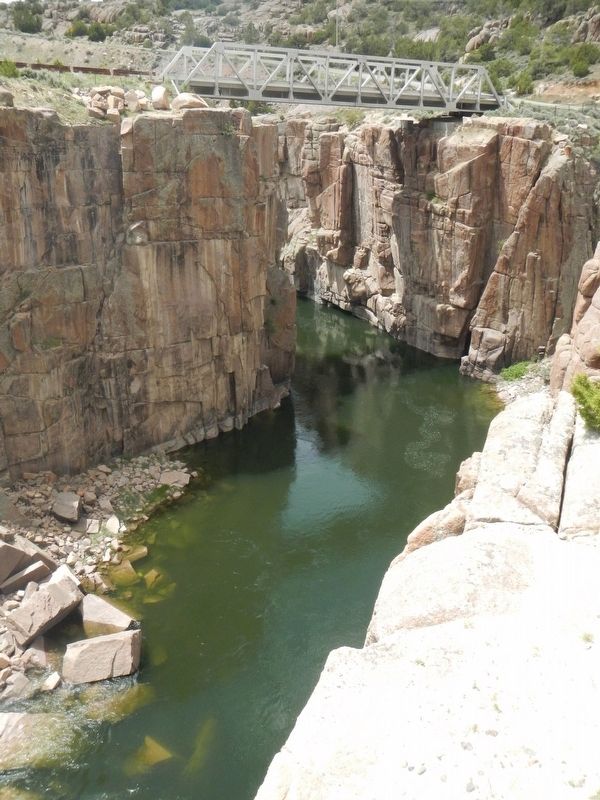
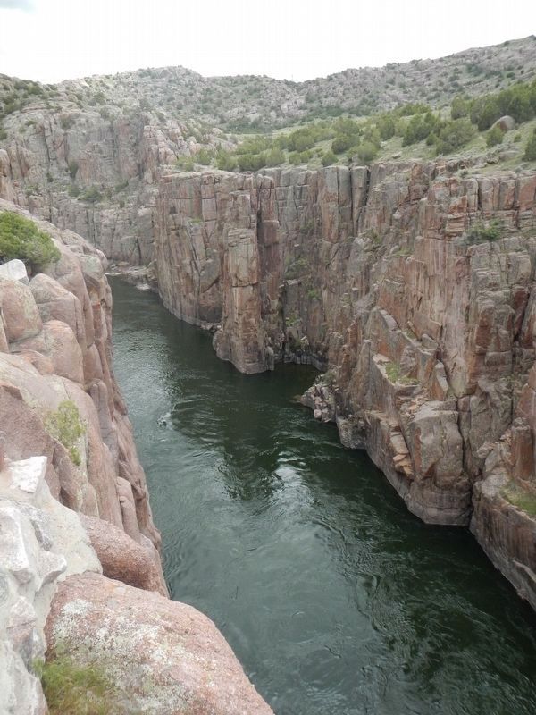
The vertical cliffs are over 200 feet (61m) high at this site near the canyon entrance and exceed 500 feet (152m) in some areas. This scenic canyon is popular with rock climbers, eagles, and a variety of wildlife.
Erected by U.S. Department of the Interior, Bureau of Reclamation.
Topics. This historical marker is listed in these topic lists: Exploration • Natural Features. A significant historical date for this entry is August 24, 1842.
Location. 42° 28.272′ N, 106° 47.703′ W. Marker is near Alcova, Wyoming, in Natrona County. Marker is on Fremont Canyon Road (County Route 408) near Kortes Road (County Route 407), on the left when traveling east. Touch for map. Marker is in this post office area: Alcova WY 82620, United States of America. Touch for directions.
Other nearby markers. At least 8 other markers are within 14 miles of this marker, measured as the crow flies. Fremont Canyon Power Plant (about 400 feet away, measured in a direct line); Alcova Reservoir (approx. 5.6 miles away); Pathfinder Dam Construction (approx. 7.6 miles away); Lure of the West (approx. 13.1 miles away); And On the Horizon... (approx. 13.1 miles away); Marking Their Progress (approx. 13.1 miles away); A Look Back (approx. 13.1 miles away); Willow Springs (approx. 14.1 miles away). Touch for a list and map of all markers in Alcova.
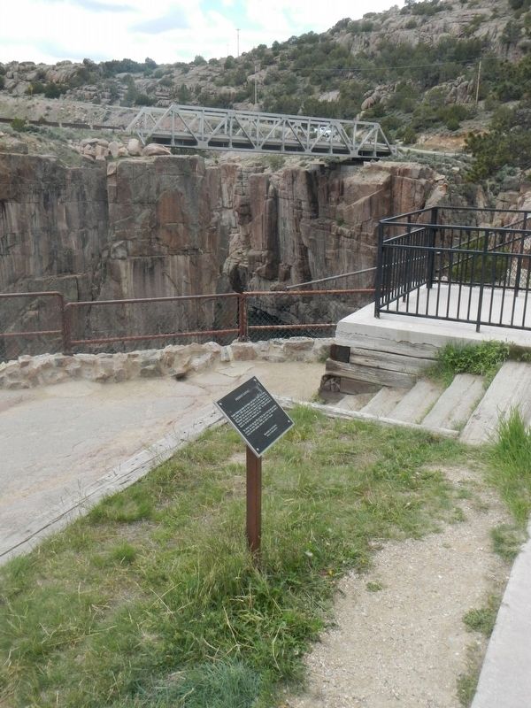
More about this marker. This marker is located at the scenic overlook on the north side of the river where the Fremont Canyon Bridge crosses the river.
Credits. This page was last revised on July 1, 2016. It was originally submitted on July 1, 2016, by Barry Swackhamer of Brentwood, California. This page has been viewed 666 times since then and 41 times this year. Photos: 1, 2, 3, 4, 5. submitted on July 1, 2016, by Barry Swackhamer of Brentwood, California.
