Ticonderoga in Essex County, New York — The American Northeast (Mid-Atlantic)
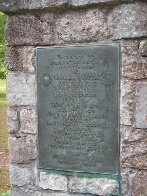
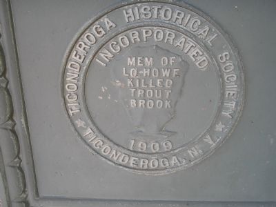
George Augustus Viscount Howe
the heroic gallantry and
noble character
of
George Augustus
Viscount Howe
Brigadier-General
of
His Majesty’s Forces
in America.
Killed near Trout Brook
two days before
the great battle of Carillon
July 6, 1758.
His death an irreparable loss
to the Army.
Beloved and honored
by the officers and men
of both the British
and American regiments.
Erected by
The English Speaking Union
of the United States
1958
Erected 1958 by United States of America.
Topics. This historical marker is listed in these topic lists: Colonial Era • War, French and Indian. A significant historical month for this entry is July 1609.
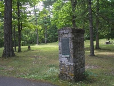
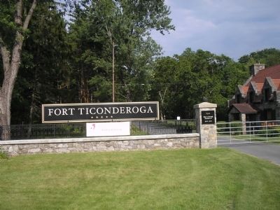
Location. 43° 50.928′ N, 73° 23.91′ W. Marker is in Ticonderoga, New York, in Essex County. Marker is on Sandy Redoubt, on the right when traveling east. Marker is along the entrance road to Fort Ticonderoga. Touch for map. Marker is in this post office area: Ticonderoga NY 12883, United States of America. Touch for directions.
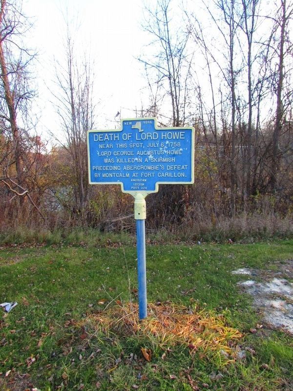
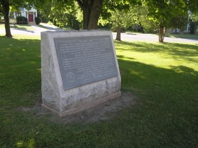
Other nearby markers. At least 8 other markers are within walking distance of this marker. “The Black Watch” (within shouting distance of this marker); Colonial Battles Fought in this Vicinity (about 700 feet away, measured in a direct line); Gen. Henry Knox Trail (approx. 0.2 miles away); Carillon, July 8-1758 - 1958-13 Juillet (approx. 0.2 miles away); The French Lines & Carillon Battlefield (approx. ¼ mile away); The Carillon Battlefield (approx. ¼ mile away); a different marker also named “The Black Watch” (approx. ¼ mile away); The French Lines (approx. ¼ mile away). Touch for a list and map of all markers in Ticonderoga.
Also see . . .
1. Fort Ticonderoga National Historic Landmark. (Submitted on July 26, 2008, by Bill Coughlin of Woodland Park, New Jersey.)
2. The Battle of Ticonderoga 1758. An account of the battle that was fought just after the death of Lord Howe from BritishBattles.com. (Submitted on July 26, 2008, by Bill Coughlin of Woodland Park, New Jersey.)
Credits. This page was last revised on May 26, 2021. It was originally submitted on July 26, 2008, by Bill Coughlin of Woodland Park, New Jersey. This page has been viewed 2,429 times since then and 45 times this year. Photos: 1, 2. submitted on July 26, 2008, by Bill Coughlin of Woodland Park, New Jersey. 3. submitted on November 24, 2018, by Bill Coughlin of Woodland Park, New Jersey. 4, 5, 6. submitted on July 26, 2008, by Bill Coughlin of Woodland Park, New Jersey.
