Near Robert Lee in Coke County, Texas — The American South (West South Central)
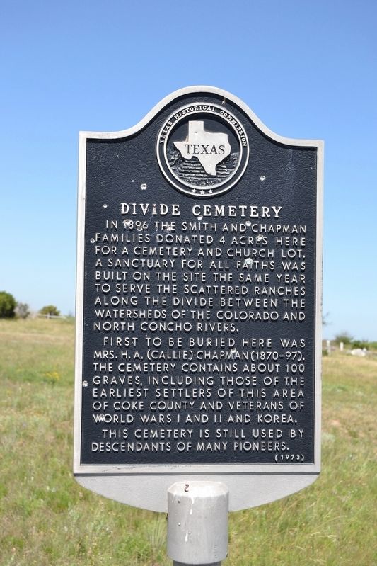
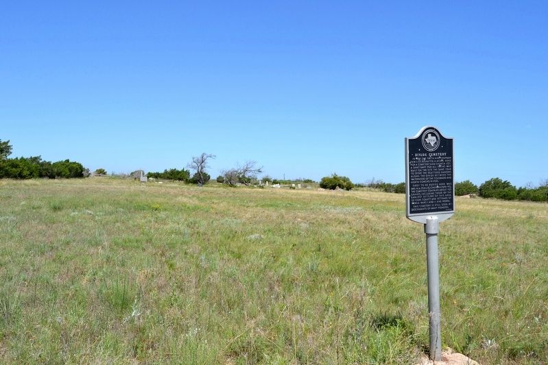
Divide Cemetery
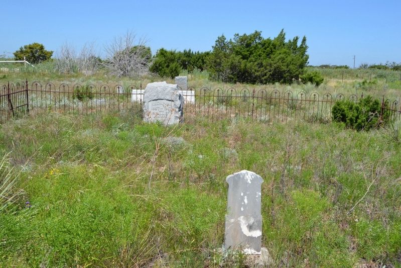
First to be buried here was Mrs. H.A. (Callie) Chapman (1870-97). The cemetery contains about 100 graves, including those of the earliest settlers of this area of Coke County and veterans of World Wars I and II and Korea.
This cemetery is still used by descendants of many pioneers.
Erected 1973 by Texas Historical Commission. (Marker Number 1232.)
Topics. This historical marker is listed in these topic lists: Cemeteries & Burial Sites • Churches & Religion. A significant historical year for this entry is 1896.
Location. 31° 48.354′ N, 100° 41.795′ W. Marker is near Robert Lee, Texas, in Coke County. Marker can be reached from the intersection of Walnut Road and Cemetery Road. Touch for map. Marker is in this post office area: Robert Lee TX 76945, United States of America. Touch for directions.
Other nearby markers. At least 5 other markers are within 18 miles of this marker, measured as the crow flies. Natural Landmark Shelving Rock (approx. 1.1 miles away); Edith (approx. 8.4 miles away); World War I Peace Monument (approx. 9.6 miles away); Anti-Tuberculosis Colony No. 1 (approx. 13.9 miles away); Sanco (approx. 17.3 miles away).
Also see . . . Divide Cemetery - findagrave.com. (Submitted on July 17, 2016.)
Credits. This page was last revised on July 17, 2016. It was originally submitted on July 17, 2016, by Duane Hall of Abilene, Texas. This page has been viewed 443 times since then and 16 times this year. Photos: 1, 2, 3, 4. submitted on July 17, 2016, by Duane Hall of Abilene, Texas.


