Cattleman's Bridge
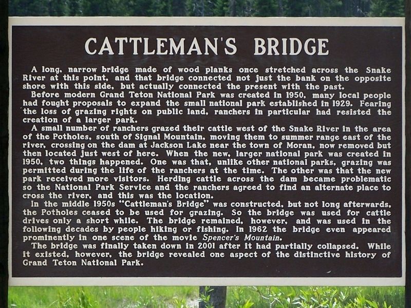
Before modern Grand Teton National Park was created in 1950, many local people had fought proposals to expand the small national park established in 1929. Fearing the loss of grazing rights to public land, ranchers in particular had resisted the creation of the larger park.
A small number of ranchers grazed their cattle west of the Snake River in the area of the Potholes, south of Signal Mountain, moving them to summer range east of the river, crossing on the dam at Jackson Lake near the town of Moran, now removed but then located just west of here. When the new, larger national park was created in 1950, two things happened. One was that, unlike other national parks, grazing was permitted during the life of the ranchers at the time. The other was that the new park received more visitors. Herding cattle across the dam became problematic so the National Park Service and the ranchers agreed to find an alternate place to cross the river, and this was the location.
In the middle 1950s "Cattleman's Bridge" was constructed, but not long afterwards, the Potholes ceased to be used for grazing. So the bridge was used for cattle drives only a short while. The bridge remained, however,
and was used in the following decades by people hiking or fishing. In 1962, the bridge even appeared in one scene of the movie "Spencer's Mountain".
The bridge was finally taken down in 2001 after it had partially collapsed. While it existed, however, the bridge revealed one aspect of the distinctive history of Grand Teton National Park.
Topics. This historical marker is listed in these topic lists: Agriculture • Bridges & Viaducts.
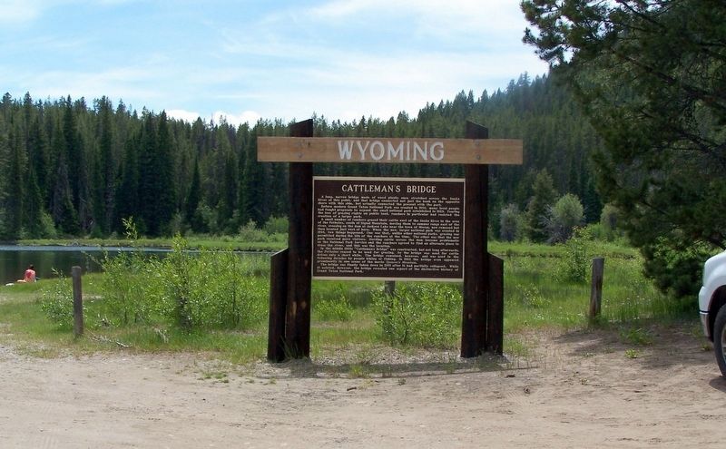
Location. 43° 51.37′ N, 110° 33.202′ W. Marker is in Moran, Wyoming, in Teton County. Marker can be reached from U.S. 191. The marker is located at the end of a dirt road off US Highway 191 just north of the Oxbow Bend of the Snake River. Touch for map. Marker is in this post office area: Moran WY 83013, United States of America. Touch for directions.
Other nearby markers. At least 8 other markers are within 4 miles of this marker, measured as the crow flies. 11,000 Summers in the Tetons (approx. ¾ mile away); Valley View (approx. 1.3 miles away); The Teton Range (approx. 1½ miles away); Young, Restless, and Still Rising (approx. 1.6 miles away); Jackson Lake Lodge (approx. 1.9 miles away); A New Era (approx. 1.9 miles away); Grand Teton National Park (approx. 1.9 miles away); Cattle King of Wyoming (approx. 3.4 miles away). Touch for a list and map of all markers in Moran.
Credits. This page was last revised on July 25, 2016. It was originally submitted on July 17, 2016, by David J Gaines of Pinson, Alabama. This page has been viewed 613 times since then and 87 times this year. Photos: 1, 2. submitted on July 17, 2016, by David J Gaines of Pinson, Alabama. • Bill Pfingsten was the editor who published this page.

