Near Montvale in Bedford County, Virginia — The American South (Mid-Atlantic)
Peaks of Otter
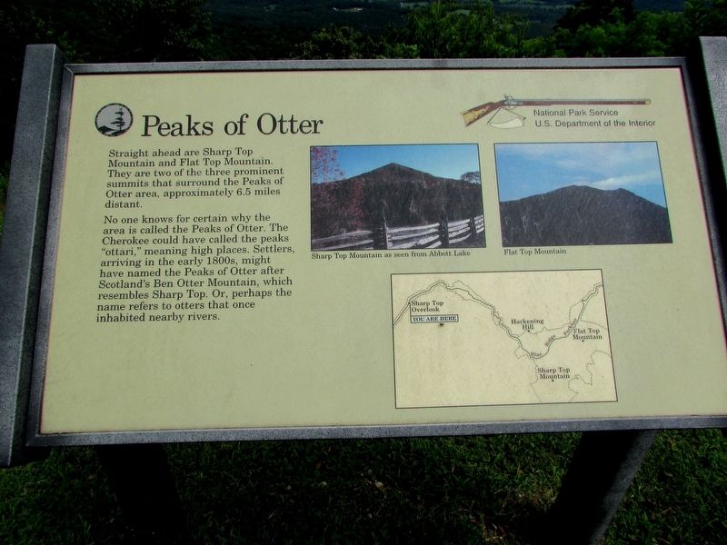
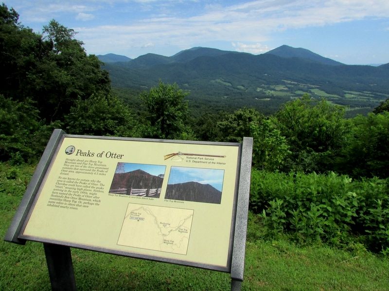
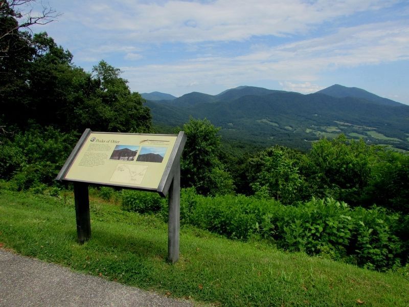
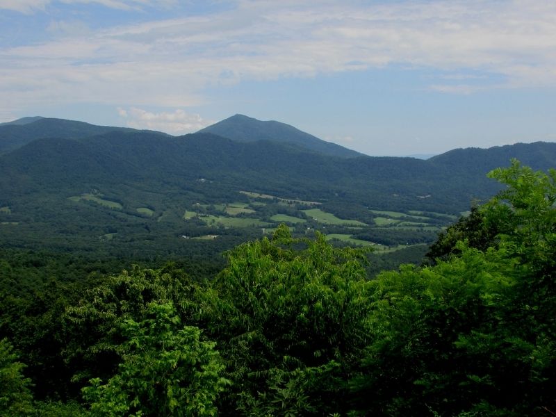
Straight ahead are SharpTop Mountain and Flat Top Mountain. They are two of the three prominent summits that surround the Peaks of Otter area, approximately 6.5 miles distant.
No one knows for certain why the area is called the Peaks of Otter. The Cherokee could have called the peaks “ottari,” meaning high places. Settlers, arriving in the early 1800s, might have named the Peaks of Otter after Scotland’s Ben Otter Mountain, which resembles Sharp Top. Or, perhaps the name refers to otters that once inhabited nearby rivers.
Erected by National Park Service.
Topics and series. This historical marker is listed in this topic list: Natural Features. In addition, it is included in the Blue Ridge Parkway series list.
Location. 37° 28.47′ N, 79° 41.515′ W. Marker is near Montvale, Virginia, in Bedford County. Marker is on Blue Ridge Parkway, on the left when traveling south. Marker is located in the Sharp Top overlook on the Blue Ridge Parkway (MP 92.5). Touch for map. Marker is in this post office area: Montvale VA 24122, United States of America. Touch for directions.
Other nearby markers. At least 8 other markers are within 4 miles of this marker, measured as the crow flies. Mount Joy (approx. 2.8 miles away); Looney's Ferry (approx. 3 miles away); Appalachian Trail (approx. 3.3 miles away); The Anchorage (approx. 3.4 miles away); Buchanan (approx. 3.6 miles away); The Botetourt Artillery (approx. 3.6 miles away); Trinity United Methodist Church (approx. 3.6 miles away); Trinity Episcopal Church (approx. 3.7 miles away).
More about this marker. Photographs of “Sharp Top Mountain as seen from Abbot Lake” and “Flat Top Mountain” appear at the upper right of the marker. Below these is a map of a section of the Blue Ridge Parkway, with the location of the marker indicated.
Credits. This page was last revised on December 30, 2021. It was originally submitted on July 18, 2016, by Bill Coughlin of Woodland Park, New Jersey. This page has been viewed 1,122 times since then and 67 times this year. Photos: 1, 2, 3, 4. submitted on July 18, 2016, by Bill Coughlin of Woodland Park, New Jersey.


