Big Island in Bedford County, Virginia — The American South (Mid-Atlantic)
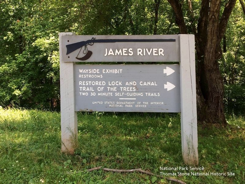
James River
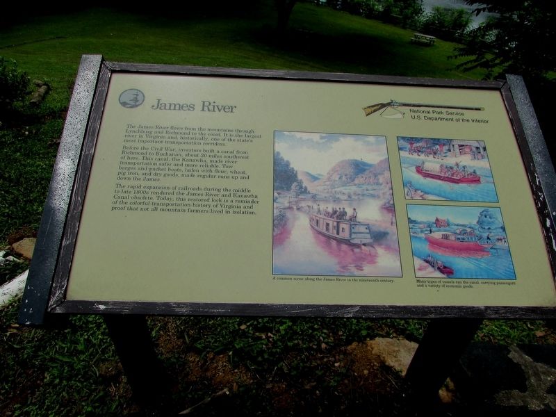
The James River flows from the mountains through Lynchburg and Richmond to the coast. It is the largest river in Virginia and, historically, one of the state’s most important transportation corridors.
Before the Civil War, investors built a canal from Richmond to Buchanan, about 20 miles southwest of here. This canal, the Kanawha, made river transportation safer and more reliable. Tow barges and packet boats, laden with flour, wheat, pig iron, and dry goods, made regular runs up and down the James.
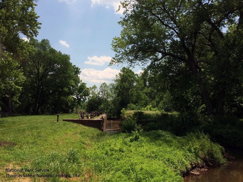
The rapid expansion of railroads during the middle to late 1800s rendered the James River and Kanawha Canal obsolete. Today, this restored lock is a reminder of the colorful transportation history of Virginia and proof that not all mountain farmers lived in isolation.
Erected by National Park Service.
Topics and series. This historical marker is listed in these topic lists: Man-Made Features • Waterways & Vessels. In addition, it is included in the Blue Ridge Parkway series list.
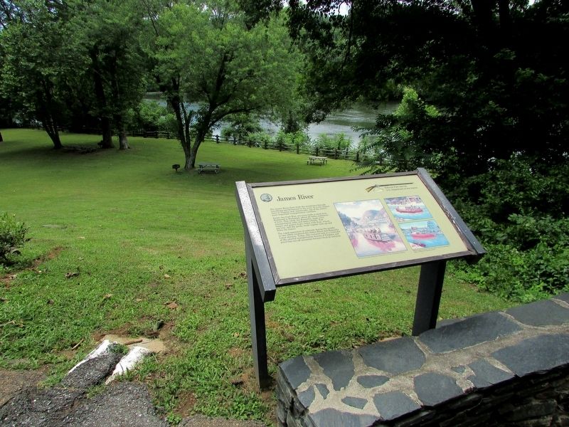
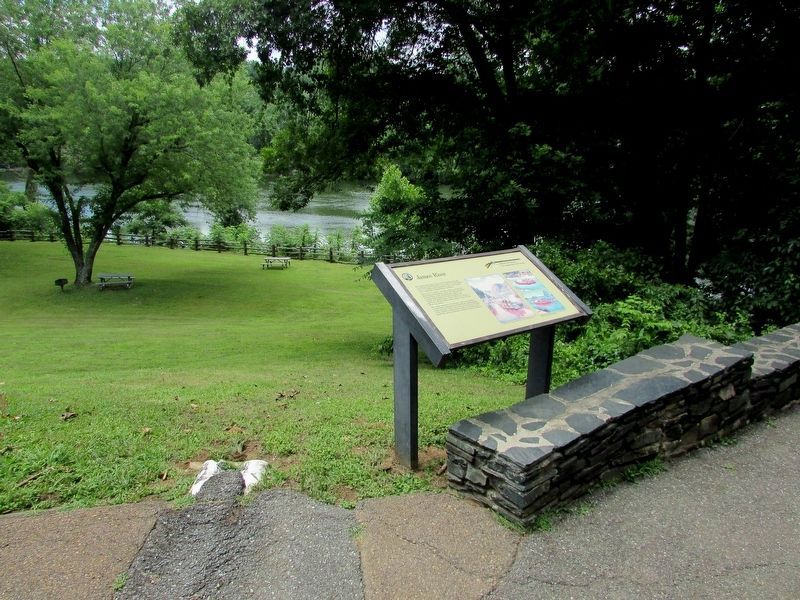
Location. 37° 33.313′ N, 79° 21.965′ W. Marker is on Big Island, Virginia, in Bedford County. Marker can be reached from Blue Ridge Parkway (at milepost 64), on the left when traveling south. Marker is located behind the James River Visitor Center (MP 63.6), on the Blue Ridge Parkway. Touch for map. Marker is in this post office area: Big Island VA 24526, United States of America. Touch for directions.
Other nearby markers. At least 8 other markers are within 5 miles of this marker, measured as the crow flies. Harry F. Byrd Memorial Bridge (a few steps from this marker); Battery Creek Lock (within shouting distance of this marker); A Transportation Corridor (within shouting distance of this marker); a different marker also named Battery Creek Lock (within shouting distance of this marker); Water Gap (within shouting distance of this marker); A Lock Canal / A Lift Lock (about 300 feet away, measured in a direct line); The Lock Gate (about 400 feet away); The Courage Of Frank Padget (approx. 5.1 miles away). Touch for a list and map of all markers in Big Island.
More about this marker. Several pictures of people and cargo being transported by canal boats appear on the right side of the marker. They include the captions “A common scene along the James River in the nineteenth century.” and “Many types of vessels ran the canal, carrying passengers and a variety of economic goods.”
Also see . . . Blue Ridge Parkway | James River Canal Trail (MP 63.6). (Submitted on August 5, 2019.)
Credits. This page was last revised on August 6, 2019. It was originally submitted on July 18, 2016, by Bill Coughlin of Woodland Park, New Jersey. This page has been viewed 412 times since then and 23 times this year. Photos: 1, 2. submitted on July 18, 2016, by Bill Coughlin of Woodland Park, New Jersey. 3. submitted on August 5, 2019. 4. submitted on July 18, 2016, by Bill Coughlin of Woodland Park, New Jersey. 5. submitted on August 5, 2019.
