Anacostia in Southeast Washington in Washington, District of Columbia — The American Northeast (Mid-Atlantic)
Uniontown, DC's First Suburb
East-of-the-River View
— Anacostia Heritage Trail —
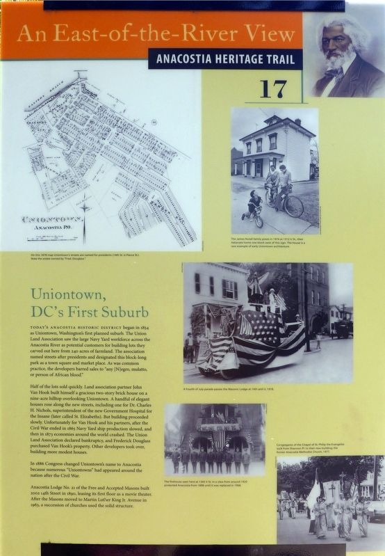
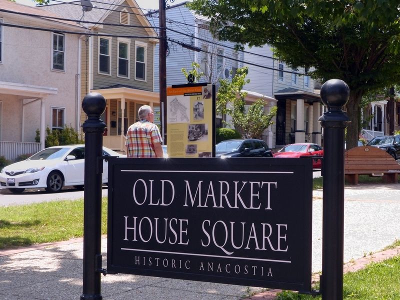
Today's Anacostia Historic District began in 1854 as Uniontown, Washington's first planned suburb. The Union Land Association saw the large Navy Yard workforce across the Anacostia River as potential customers for building lots they carved out here from 240 acres of farmland. The association named streets after presidents and designated this block-long park as a town square and market place. As was common practice, the developers barred sales to “any [N]egro, mulatto, or person of African blood.”
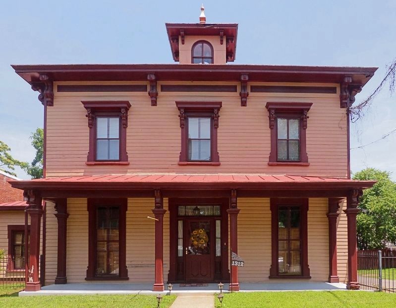
Half of the lots sold quickly. Land association partner John Van Hook built himself a gracious two-story brick house on a nine-acre hilltop overlooking Uniontown. A handful of elegant houses rose along the new streets, including one for Dr. Charles H. Nichols, superintendent of the new Government Hospital for the Insane (later called St. Elizabeths). But building proceeded slowly. Unfortunately for Van Hook and his partners, after the Civil War ended in 1865 Navy Yard ship production slowed, and then in 1873 economies around the world crashed. The Union Land Association declared bankruptcy, and Frederick Douglass purchased Van Hook's property. Other developers took over, building more modest houses.
In 1886 Congress changed Uniontown's name to Anacostia because numerous “Uniontowns” had appeared around the nation after the Civil War.
Anacostia Lodge No. 21 of the Free and Accepted Masons built 2002 14th Street in 1890, leasing its first floor as a movie theater. After the Masons moved to Martin Luther King Jr. Avenue in 1963, a succession of churches used the solid structure.
Erected 2013 by Cultural Tourism DC. (Marker Number 17.)
Topics and series. This historical marker is listed in these topic lists: Fraternal or Sororal Organizations • Science & Medicine • Settlements & Settlers • War, US Civil. In addition, it is included in the Anacostia Heritage Trail series list. A significant historical year for this entry is 1854.
Location. 38° 51.931′ N, 76° 59.126′ W. Marker is in Southeast Washington in Washington, District of Columbia. It is in Anacostia. Marker is on 14th Street Southeast south of U Street Southeast, in the median. In Old Market House Square Park. Touch for map. Marker is at or near this postal address: 2014 14th Street Southeast, Washington DC 20020, United States of America. Touch for directions.
Other nearby markers. At least 8 other markers are within walking distance of this marker. The Sage of Anacostia (about 500 feet away, measured in a direct line); Good Times on Good Hope (about 500 feet away); Rose's Row (about 600 feet away); Education Matters (about 600 feet away); Mother Churches and Their Daughters (about 600 feet away); Frederick Douglass National Historic Site (approx. 0.2 miles away); Frederick Douglass's Rustic Retreat (approx. 0.2 miles away); A Neighborhood Oasis (approx. 0.2 miles away). Touch for a list and map of all markers in Southeast Washington.
Credits. This page was last revised on January 30, 2023. It was originally submitted on July 19, 2016, by Allen C. Browne of Silver Spring, Maryland. This page has been viewed 1,329 times since then and 136 times this year. Photos: 1, 2. submitted on July 19, 2016, by Allen C. Browne of Silver Spring, Maryland. 3, 4. submitted on July 21, 2016, by Allen C. Browne of Silver Spring, Maryland. • Bill Pfingsten was the editor who published this page.
Editor’s want-list for this marker. Photo of the marker reverse. • Can you help?


