Pueblo in Pueblo County, Colorado — The American Mountains (Southwest)
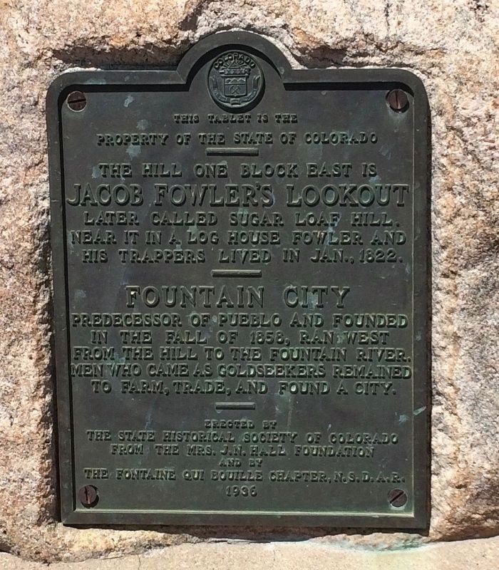
Jacob Fowler's Lookout - Fountain City
Property of the State of Colorado
——
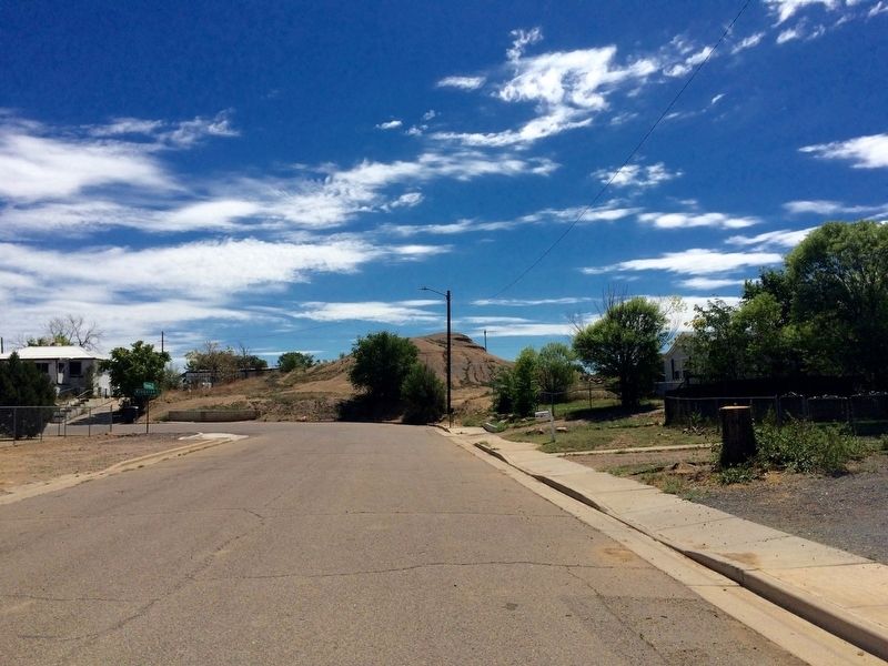
The hill one block east is
Jacob Fowler's Lookout.
Later called Sugar Loaf Hill.
Near it in a log house Fowler
and his trappers lived in Jan., 1822.
——
Fountain City
Predecessor of Pueblo and founded
in the fall of 1858, ran west
from the hill to the Fountain River.
Men who came as goldseekers remained
to farm, trade, and found a city.
—
Erected by
The state historical society of Colorado
from the Mrs. J.N. Hall Foundation
and by
the Fontaine Qui Bouille Charter, N.S.D.A.R.
1936
Erected 1936 by The state historical society of Colorado from the Mrs. J.N. Hall Foundation and by the Fontaine Qui Bouille Charter, N.S.D.A.R. (Marker Number 44.)
Topics and series. This historical marker is listed in these topic lists: Exploration • Settlements & Settlers • Waterways & Vessels. In addition, it is included in the Colorado - History Colorado, and the Daughters of the American Revolution series lists. A significant historical month for this entry is January 1822.
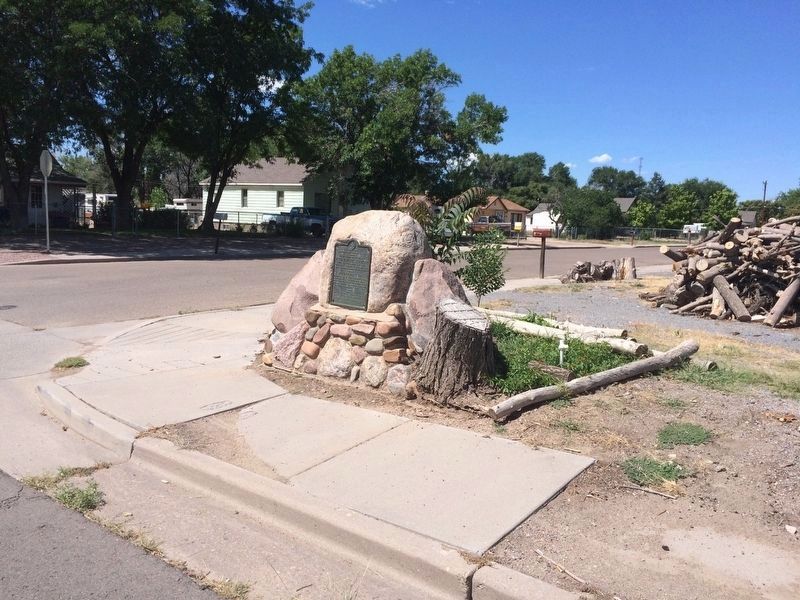
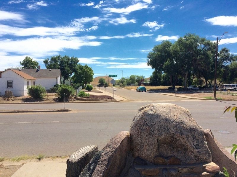
Location. 38° 15.824′ N, 104° 35.52′ W. Marker is in Pueblo, Colorado, in Pueblo County. Marker is at the intersection of South Joplin Avenue (State Highway 227) and Damson Street, on the right when traveling south on South Joplin Avenue. Touch for map. Marker is at or near this postal address: 519 South Joplin Avenue, Pueblo CO 81001, United States of America. Touch for directions.
Other nearby markers. At least 8 other markers are within 13 miles of this marker, measured as the crow flies. The Mormon Battalion (approx. 0.9 miles away); Teresita Sandoval (approx. one mile away); Fort Pueblo (approx. one mile away); Borderland - Pueblo / Railroads - Pueblo Country (approx. 1.1 miles away); Temple Emanuel (approx. 1˝ miles away); San Carlos de los Jupes (approx. 7.3 miles away); Pueblo West Veterans Memorial (approx. 9.2 miles away); Pueblo - Trail Days / Industrial Frontier - Pinon County (approx. 13.1 miles away). Touch for a list and map of all markers in Pueblo.
Credits. This page was last revised on October 29, 2020. It was originally submitted on July 23, 2016, by Mark Hilton of Montgomery, Alabama. This page has been viewed 791 times since then and 33 times this year. Photos: 1, 2, 3, 4. submitted on July 23, 2016, by Mark Hilton of Montgomery, Alabama.


