St. Mary's City in St. Mary's County, Maryland — The American Northeast (Mid-Atlantic)
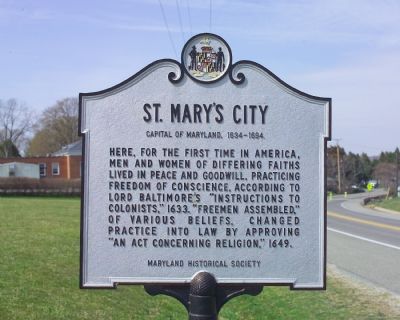
St. Mary's City
Capital of Maryland, 1634–1694
Here, for the first time in America, men and women of differing faiths lived in peace and goodwill, practicing freedom of conscience, according to Lord Baltimore’s “Instructions to Colonists,” 1633. “Freemen Assembled,” of various beliefs, changed practice into law by approving “An Act Concerning Religion,” 1649.
Erected by the Maryland Historical Society.
Topics. This historical marker is listed in these topic lists: Civil Rights • Political Subdivisions. A significant historical year for this entry is 1633.
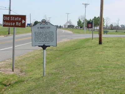
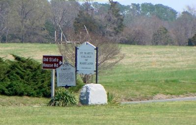
Location. 38° 11.157′ N, 76° 25.926′ W. Marker is in St. Mary's City, Maryland, in St. Mary's County. Marker is at the intersection of Point Lookout Road (Maryland Route 5) and Old State House Road, on the right when traveling south on Point Lookout Road. Touch for map. Marker is in this post office area: Saint Marys City MD 20686, United States of America. Touch for directions.
Other nearby markers. At least 10 other markers are within walking distance of this marker. Leonard Calvert (here, next to this marker); Maryland's First Capital (within shouting distance of this marker); Margaret Brent Hall (about 400 feet away, measured in a direct line); Brewing and Baking (about 500 feet away); ...and Coffee House (about 500 feet away); A Place to Talk, Drink, & Smoke (about 500 feet away); All Things Fit for a Capital (about 500 feet away); …about the Corner of Vansweeringens Garden fence (about 500 feet away); Keep It Clean (about 500 feet away); …Adjourn to the Arbour at Vansweringens (about 600 feet away). Touch for a list and map of all markers in St. Mary's City.
Also see . . . Historic St. Mary’s City. City website homepage (Submitted on April 20, 2007.)
Credits. This page was last revised on March 6, 2022. It was originally submitted on April 20, 2007, by Tom Fuchs of Greenbelt, Maryland. This page has been viewed 2,447 times since then and 21 times this year. Photos: 1, 2. submitted on April 20, 2007, by Tom Fuchs of Greenbelt, Maryland. 3. submitted on April 20, 2007, by J. J. Prats of Powell, Ohio. • J. J. Prats was the editor who published this page.


