Seneca in Montgomery County, Maryland — The American Northeast (Mid-Atlantic)
Seneca
Chesapeake and Ohio Canal National Historical Park
— National Park Service, U.S. Department of the Interior —
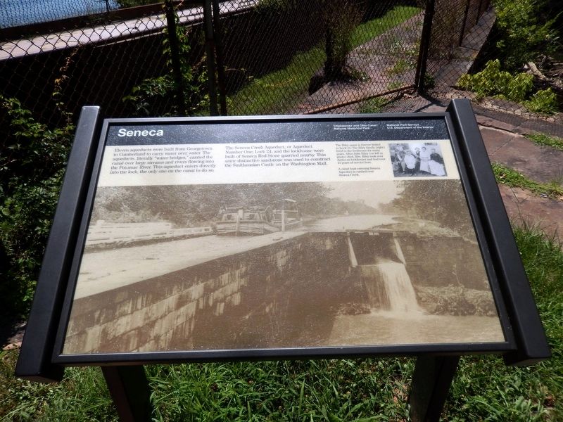
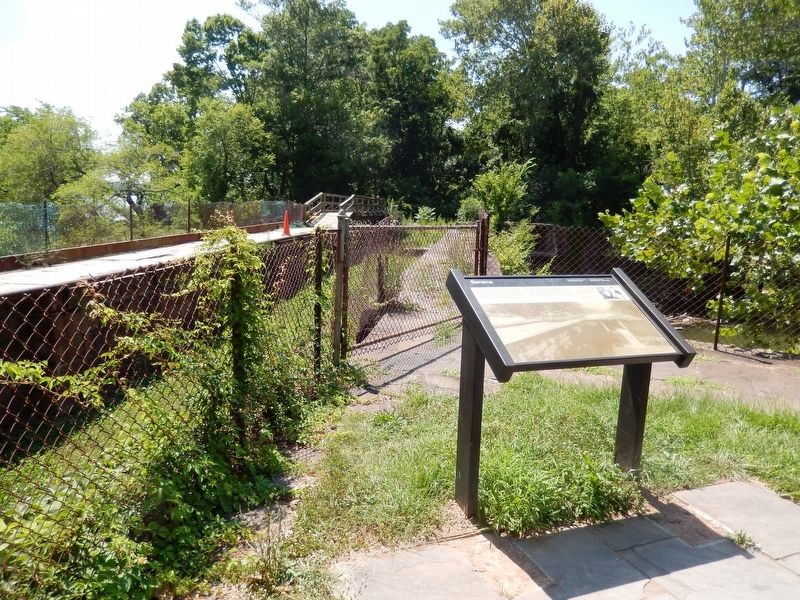
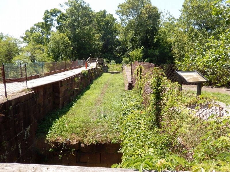
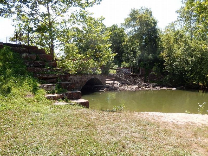
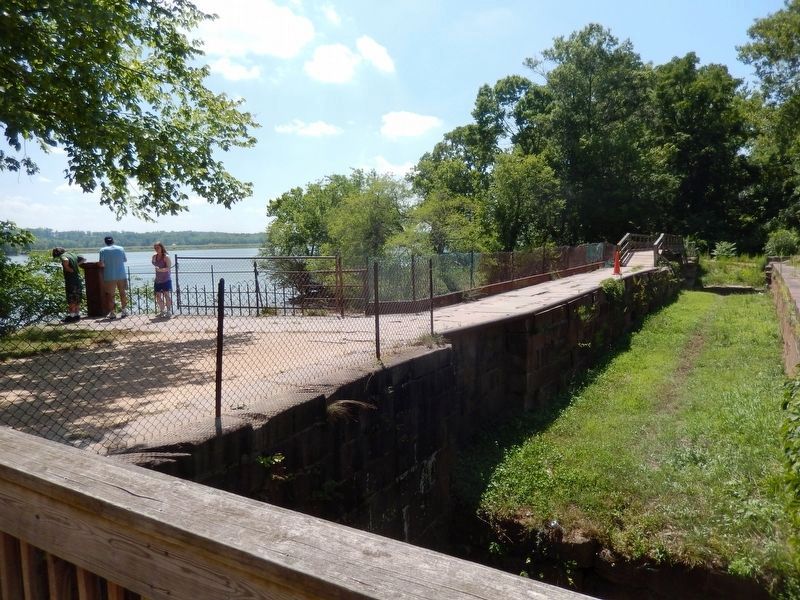
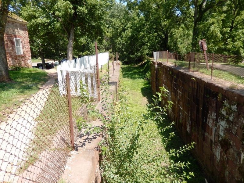
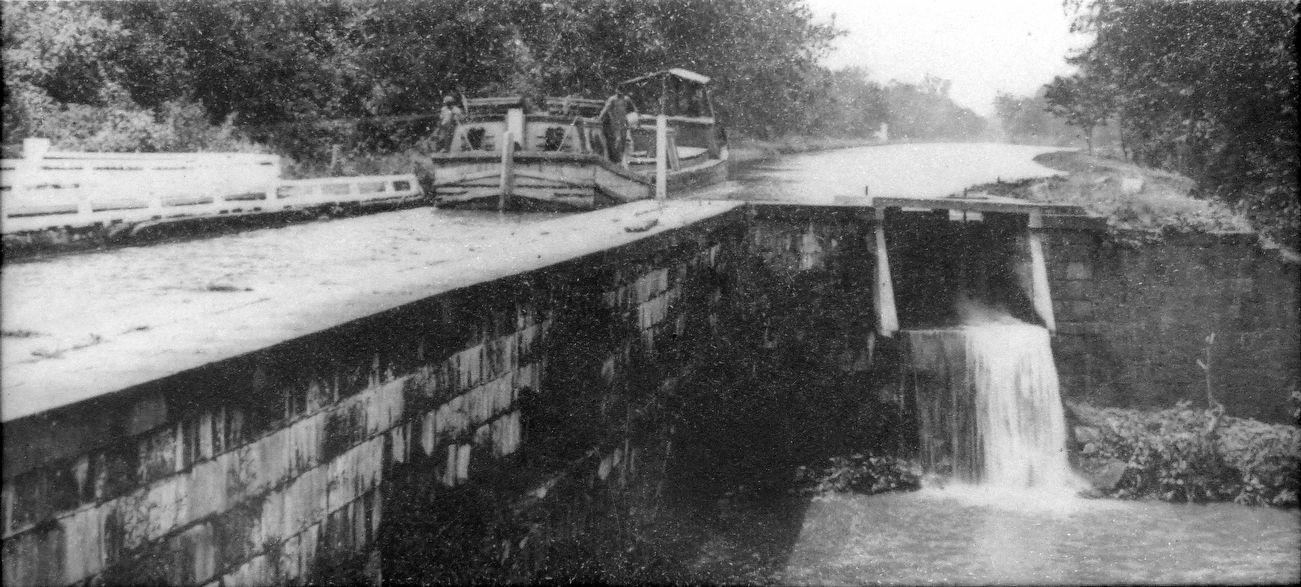
Eleven aqueducts were built from Georgetown to Cumberland to carry water over water. The aqueducts, literally “water bridges,” carried the canal over large streams and rivers flowing into the Potomac River. This aqueduct enters directly into the lock, the only one on the canal to do so.
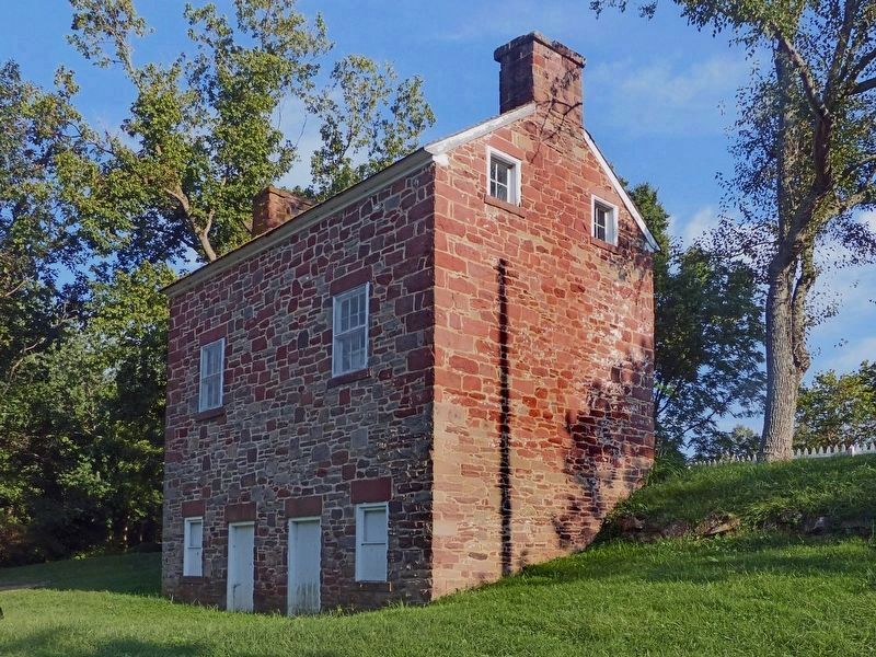
The Seneca Creek Aqueduct, or Aqueduct Number One, Lock 24, and the lockhouse were built of Seneca Red Stone quarried nearby. This same distinctive sandstone was used to construct the Smithsonian Castle on the Washington Mall.
(Inscription next to the image on the top right)
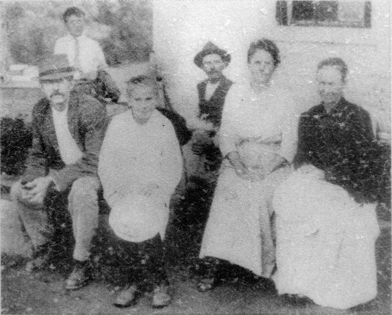
The Riley name is forever linked to Lock 24. The Riley family (right) lived in the lockhouse for many years. After John Riley (on left in photo) died, Mrs. Riley took over duties as lockkeeper and had over 45 years of service here.
(Inscription over the image in the bottom right)
A canal boat entering Seneca Aqueduct is carried over the Seneca Creek.
Erected by National Park Service, U.S. Department of the Interior.
Topics and series. This historical marker is listed in this topic list: Waterways & Vessels. In addition, it is included in the Chesapeake and Ohio (C&O) Canal series list.
Location. 39° 4.127′ N, 77° 20.449′ W. Marker is in Seneca, Maryland, in Montgomery County. Marker is on Riley's Lock Road. The marker is near the C&O tow path. Touch for map. Marker is in this post office area: Poolesville MD 20837, United States of America. Touch for directions.
Other nearby markers. At least 8 other markers are within walking distance of this marker. Rowser’s Ford (a few steps from this marker); Seneca: “Average Man’s Resort” (approx. 0.2 miles away); Seneca Creek: “A Raging River” (approx. 0.2 miles away); A Veteran’s Life in Montgomery County (approx. ¾ mile away); Seneca Mills During the Civil War (approx. ¾ mile away); Seneca Store (approx. ¾ mile away); Seneca Mill (approx. ¾ mile away); a different marker also named Seneca Store (approx. ¾ mile away). Touch for a list and map of all markers in Seneca.
Related marker. Click here for another marker that is related to this marker. This links to the original wayside at the site, "The Seneca Aqueduct".
Photographed By Allen C. Browne, September 4, 2016
8. The Riley Family
The Riley name is forever linked to Lock 24. The Riley family lived in the lockhouse for many years. After John Riley (on the left of the photo) died, Mrs. Riley took over duties as lockkeeper and had over 45 years service here.Close-up of photo on marker
Credits. This page was last revised on May 13, 2023. It was originally submitted on July 25, 2016, by Don Morfe of Baltimore, Maryland. This page has been viewed 488 times since then and 11 times this year. Photos: 1, 2, 3, 4, 5, 6. submitted on July 25, 2016, by Don Morfe of Baltimore, Maryland. 7, 8, 9. submitted on September 5, 2016, by Allen C. Browne of Silver Spring, Maryland. • Bill Pfingsten was the editor who published this page.
