Kilgore in Gregg County, Texas — The American South (West South Central)
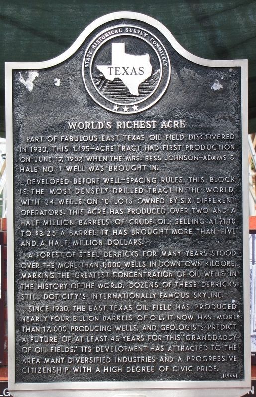
World's Richest Acre
Developed before well-spacing rules, this block is the most densely drilled tract in the world, with 24 wells on 10 lots owned by six different operators. This acre has produced over two and a half million barrels of crude oil; selling at $1.10 to $3.25 a barrel, it has brought more than five and a half million dollars.
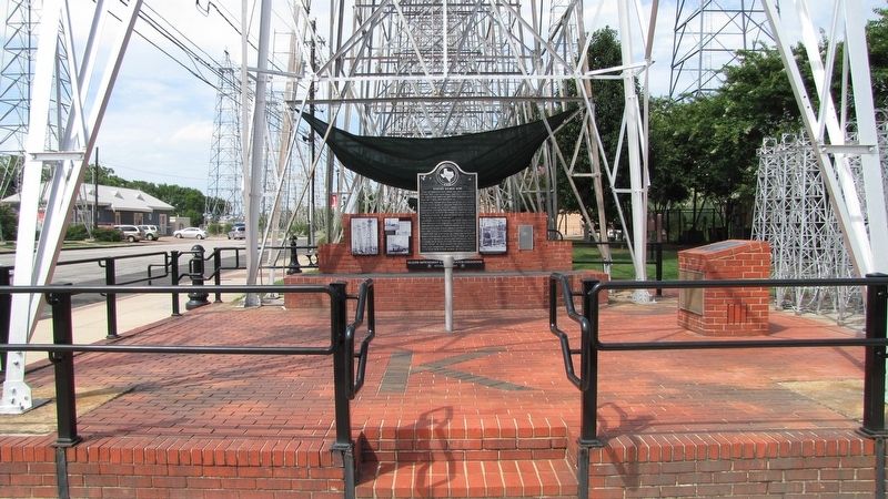
A forest of steel derricks for many years stood over the more than 1,000 wells in downtown Kilgore, marking the greatest concentration of oil wells in the history of the world. Dozens of these derricks still dot city's internationally famous skyline.
Since 1930, the East Texas oil field has produced nearly four billion barrels of oil. It now has more than 17,000 producing wells, and geologists predict a future of at least 45 years for this "granddaddy of oil fields." Its development has attracted to the area many diversified industries and a progressive citizenship with a high degree of civic pride.
Erected 1966 by State Historical Survey Committee. (Marker Number 10007.)
Topics. This historical marker is listed in this topic list: Industry & Commerce . A significant historical date for this entry is June 17, 1937.
Location. 32° 23.213′ N, 94° 52.575′ W. Marker is in Kilgore, Texas, in Gregg County. Marker is at the intersection of East Main Street and North Commerce Street, on the right when traveling east on East Main Street. Touch for map. Marker is in this post office area: Kilgore TX 75662, United States of America. Touch for directions.
Other nearby markers. At least 8 other markers are within walking distance of this marker. Before 1937 Drilling Began (within shouting distance of this marker); During Drilling (within shouting distance of this marker); Drilling Completed, 1940 (within shouting distance of this marker); Removal (within shouting distance of this marker); The Kilgore I&GN-Missouri Pacific Railroad Station (about 300 feet away, measured in a direct line); Kilgore National Bank Building (about 400 feet away); Lou Della Crim Home (about 600 feet away); Site of Alexander Institute (approx. 0.2 miles away). Touch for a list and map of all markers in Kilgore.
More about this marker. This marker stands in the southwest end of Richest Acre Park.
Additional keywords. petroleum
Credits. This page was last revised on July 26, 2016. It was originally submitted on July 25, 2016, by QuesterMark of Fort Worth, Texas. This page has been viewed 734 times since then and 63 times this year. Photos: 1, 2. submitted on July 25, 2016, by QuesterMark of Fort Worth, Texas. • Bernard Fisher was the editor who published this page.

