Surfside Beach in Brazoria County, Texas — The American South (West South Central)
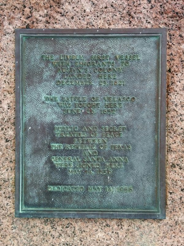
The Lively
The Battle of Velasco was fought here June 26, 1832.
Public and secret treaties of peace between the Republic of Texas and General Santa Anna were signed here May 14, 1836.
Dedicated May 14, 1936.
Erected 1936. (Marker Number 9616.)
Topics and series. This historical marker is listed in these topic lists: Peace • Settlements & Settlers • War, Texas Independence • Waterways & Vessels. In addition, it is included in the Texas 1936 Centennial Markers and Monuments series list.
Location. 28° 56.56′ N, 95° 17.976′ W. Marker is in Surfside Beach, Texas, in Brazoria County. Marker is on Monument Drive west of Jettyview Road, on the right when traveling west. Touch for map. Marker is at or near this postal address: 1304 Monument Drive, Freeport TX 77541, United States of America. Touch for directions.
Other nearby markers. At least 8 other markers are within walking distance of this marker. Battle of Velasco Memorial (about 300 feet away, measured in a direct line); Santa Anna signed Treaties of Velasco (about 400 feet away); Brown-Hoskins Hotel and Tavern (about 400 feet away); First Republic of Texas Navy: 1835-1837 (about 500 feet away); Confederate Civil War Forts at Mouth of Brazos (about 600 feet away); Republic of Texas Battery (about 700 feet away); The San Felipe Incident (about 700 feet away); Allen Place, 1883 (approx. 0.7 miles away). Touch for a list and map of all markers in Surfside Beach.
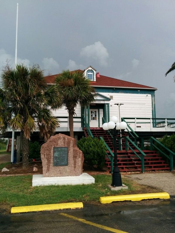
More about this marker. Marker was originally installed in 1936 on the riverside lawn of Coast Guard Station Velasco, but in about 1992 the Coast Guard boathouse and this marker were moved to become the Surfside city hall, when the original site was demolished and dredged away to widen the Freeport harbor channel. A new Coast Guard Station Freeport was constructed just upstream in the period of 1990-1992.
Also see . . .
1. "Lively" article in Handbook of Texas Online. (Submitted on July 30, 2016, by Gregory Walker of La Grange, Texas.)
2. Battle of Velasco article in Handbook of Texas Online. (Submitted on July 30, 2016, by Gregory Walker of La Grange, Texas.)
3. Treaties of Velasco article in Handbook of Texas Online. (Submitted on July 30, 2016, by Gregory Walker of La Grange, Texas.)
Credits. This page was last revised on December 3, 2023. It was originally submitted on July 30, 2016, by Gregory Walker of La Grange, Texas. This page has been viewed 603 times since then and 35 times this year. Last updated on December 2, 2023, by Jeff Leichsenring of Garland, Texas. Photos: 1, 2. submitted on July 30, 2016, by Gregory Walker of La Grange, Texas. • James Hulse was the editor who published this page.

