Near Jones Creek in Brazoria County, Texas — The American South (West South Central)
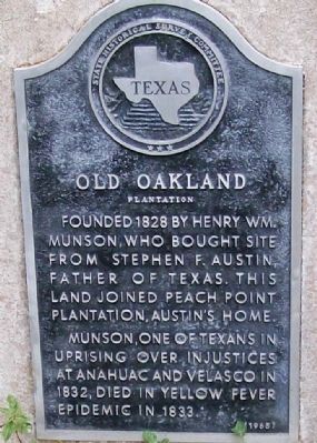
Old Oakland
Plantation
Inscription.
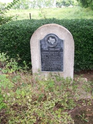
Founded 1828 by Henry Wm. Munson, who bought site from Stephen F. Austin, Father of Texas. This land joined Peach Point Plantation, Austin's home. Munson, one of Texans in uprising over injustices at Anahuac and Velasco in 1832, died in yellow fever epidemic in 1833.
Erected 1965 by Texas Historical Commission. (Marker Number 12420.)
Topics. This historical marker is listed in this topic list: Science & Medicine. A significant historical year for this entry is 1828.
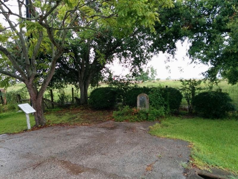
Location. 28° 59.124′ N, 95° 30.26′ W. Marker is near Jones Creek, Texas, in Brazoria County. Marker is at the intersection of State Highway 36 and Weldon Road, on the left when traveling east on State Highway 36. Touch for map. Marker is at or near this postal address: 10315 Highway 36, Freeport TX 77541, United States of America. Touch for directions.
Other nearby markers. At least 8 other markers are within 2 miles of this marker, measured as the crow flies. Ellerslie Plantation (within shouting distance of this marker); Major Reuben R. Brown (approx. 2 miles away); William Joel Bryan (approx. 2 miles away); General Stephen Fuller Austin (approx. 2 miles away); Emily Margaret Brown Austin Bryan Perry (approx. 2 miles away); James Franklin Perry (approx. 2 miles away); Henry William Munson (approx. 2 miles away); Major James Peckham Caldwell (approx. 2 miles away). Touch for a list and map of all markers in Jones Creek.
Regarding Old Oakland. While the text does not mention use by Confederate troops during the War Between The States, many Texas Confederate troops visited.
Credits. This page was last revised on April 11, 2024. It was originally submitted on July 26, 2008, by Texmexfla of Houston, Texas. This page has been viewed 3,266 times since then and 70 times this year. Last updated on April 10, 2024, by Chris Kneupper of Brazoria, Texas. Photos: 1. submitted on July 26, 2008, by Texmexfla of Houston, Texas. 2. submitted on August 8, 2008, by Texmexfla of Houston, Texas. 3. submitted on July 30, 2016, by Gregory Walker of La Grange, Texas. • Devry Becker Jones was the editor who published this page.


