Hays in Ellis County, Kansas — The American Midwest (Upper Plains)
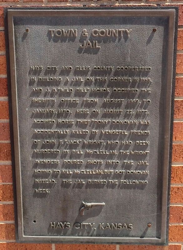
Town & County Jail
Hays City, Kansas
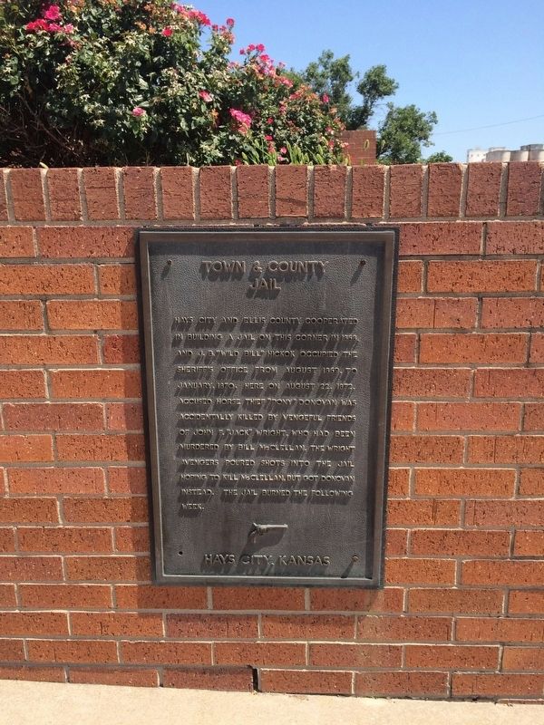
Hays City and Ellis County cooperated in building a jail on this corner in 1868 and J.B. “Wild Bill” Hickok occupied the sheriffs office from August 1869, to January, 1870. Here on August 22, 1872, accused horse thief “Pony” Donovan was accidentally killed by vengeful friends of John F. “Jack” Wright, who had been murdered by Bill McClellan. The Wright avengers poured shots into the jail hoping to kill McClellan, but got Donovan instead. The jail burned the following week.
Erected by City of Hays Kansas Convention & Visitors Bureau.
Topics. This historical marker is listed in this topic list: Notable Events. A significant historical month for this entry is January 1870.
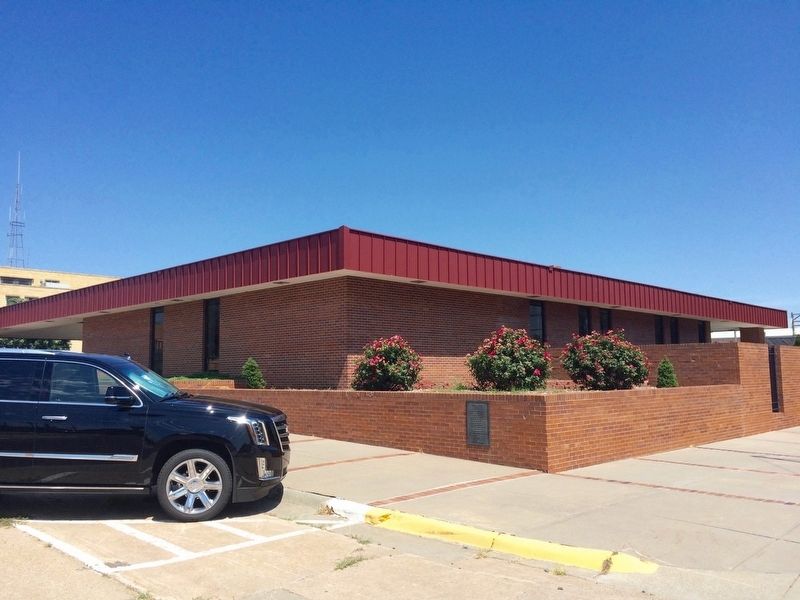
Location. 38° 52.374′ N, 99° 19.908′ W. Marker is in Hays, Kansas, in Ellis County. Marker is at the intersection of Fort Street and West 11th Street, on the left when traveling south on Fort Street. Touch for map. Marker is at or near this postal address: 1100 Fort Street, Hays KS 67601, United States of America. Touch for directions.
Other nearby markers. At least 8 other markers are within walking distance of this marker. Gospel Hill (within shouting distance of this marker); Jim Curry’s Restaurant (within shouting distance of this marker); White's Barber Shop (within shouting distance of this marker); Cy Goddard’s Dance Hall (within shouting distance of this marker); The Perry House (about 300 feet away, measured in a direct line); Walsh’s Gambling Hall (about 300 feet away); The Sporting Palace (about 300 feet away); R. W. Evans’ Grocery Store (about 300 feet away). Touch for a list and map of all markers in Hays.
Credits. This page was last revised on December 24, 2021. It was originally submitted on August 1, 2016, by Mark Hilton of Montgomery, Alabama. This page has been viewed 314 times since then and 16 times this year. Photos: 1, 2, 3. submitted on August 1, 2016, by Mark Hilton of Montgomery, Alabama.


