Near Hamilton in Marion County, Alabama — The American South (East South Central)
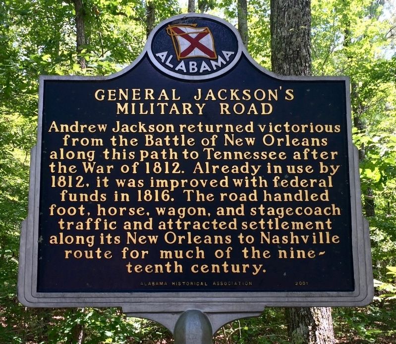
General Jackson's Military Road
Erected 2001 by Alabama Historical Association.
Topics and series. This historical marker is listed in these topic lists: Roads & Vehicles • War of 1812. In addition, it is included in the Alabama Historical Association, and the Former U.S. Presidents: #07 Andrew Jackson series lists. A significant historical year for this entry is 1812.
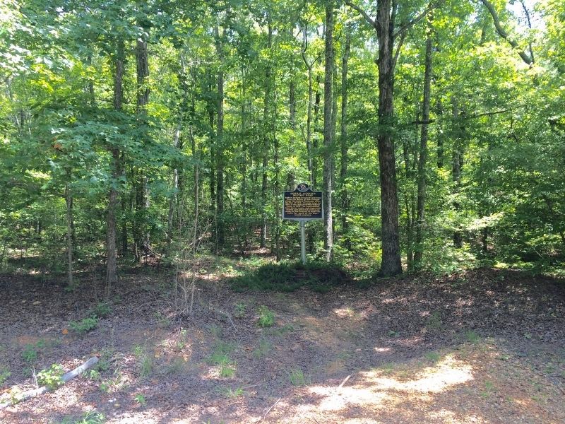
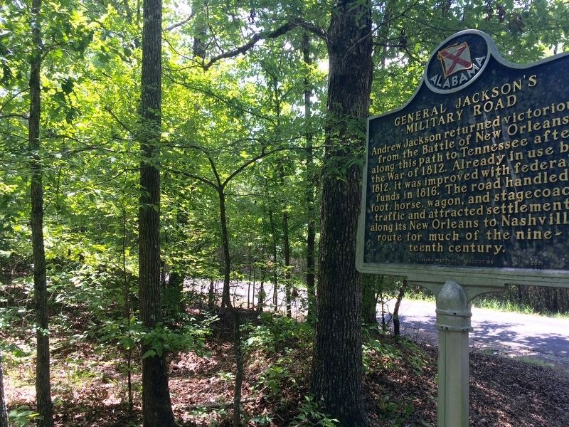
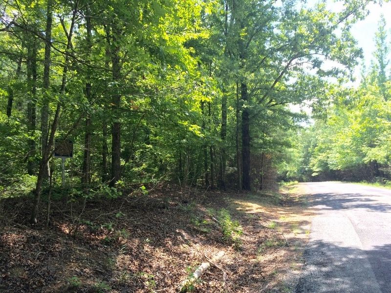
Location. 34° 4.446′ N, 87° 59.872′ W. Marker is near Hamilton, Alabama, in Marion County. Marker is on Berryhill Road, 0.1 miles south of County Road 55, on the right when traveling north. Marker is some 25 feet into a small clearing in the woods on the right side heading north. Touch for map. Marker is at or near this postal address: Berryhill Road, Hamilton AL 35570, United States of America. Touch for directions.
Other nearby markers. At least 8 other markers are within 9 miles of this marker, measured as the crow flies. The Hamilton Mounds Site (approx. 1.8 miles away); Toll Gate (approx. 2.7 miles away); Historical Pikeville (approx. 3˝ miles away); Hamilton, Alabama (approx. 4.4 miles away); History of Marion Territory and Marion County Courts (approx. 4.7 miles away); The First Alabama Cavalry (approx. 4.7 miles away); Confederate Veterans Bicentennial Memorial (approx. 4.7 miles away); City of Guin, Alabama: The Early Years / The Storms of 1974 (approx. 8.9 miles away). Touch for a list and map of all markers in Hamilton.
Also see . . . Wikipedia article on Jackson's Military Road. (Submitted on August 5, 2016, by Mark Hilton of Montgomery, Alabama.)
Credits. This page was last revised on August 5, 2016. It was originally submitted on August 5, 2016, by Mark Hilton of Montgomery, Alabama. This page has been viewed 785 times since then and 68 times this year. Photos: 1, 2, 3, 4. submitted on August 5, 2016, by Mark Hilton of Montgomery, Alabama.


