Tremont in Itawamba County, Mississippi — The American South (East South Central)
Tammy Wynette
— Mississippi Country Music Trail —
Front
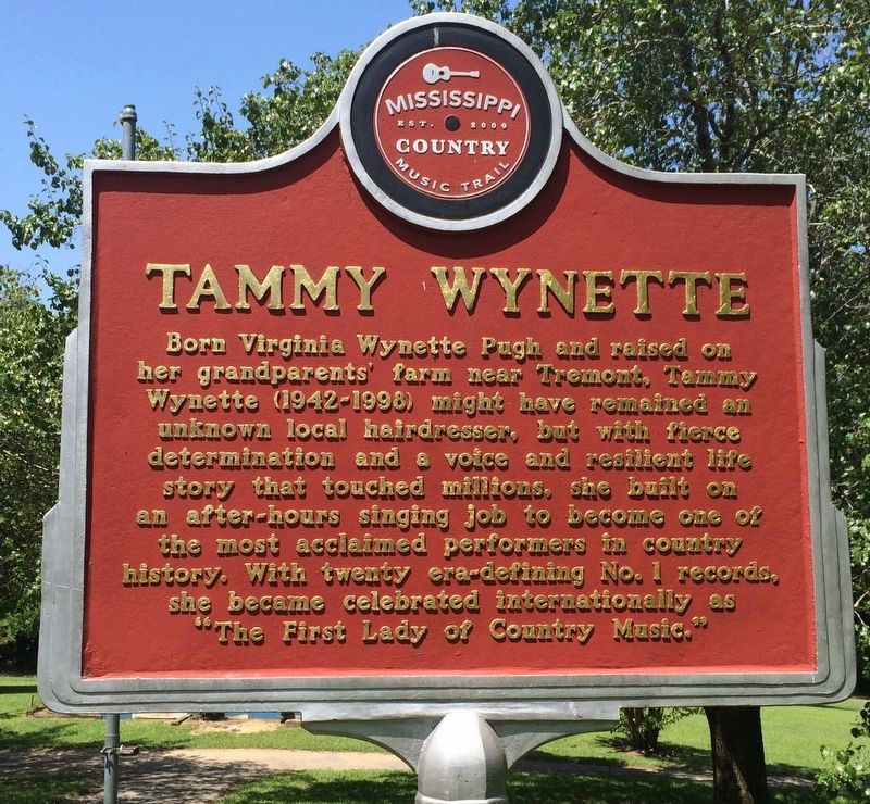
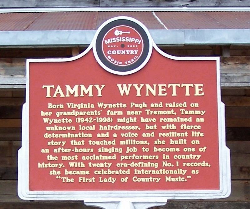
Born Virginia Wyette Pugh and raised on her grandparents' farm near Tremont, Tammy Wynette (1942-1998) might have remained an unknown local hairdresser, but with fierce determination and a voice and resilient life story that touched millions, she built on an after-hours singing job to become one of the most acclaimed performers in country history. With twenty era-defining No. 1 records, she became celebrated internationally as "The First Lady of Country Music."
Rear
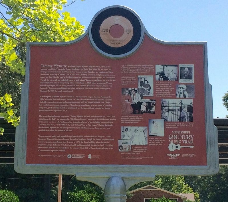
Tammy Wynette was born on May 5, 1942, at her maternal grandfather’s Itawamba County farmhouse. Her father died before she was a year old, leaving musical instruments that Wynette later learned to play. Raised on her grandparents’ farm, she became, by the age of twelve, a fan of the Grand Ole Opry broadcasts and played guitar, piano, organ, and flute. She also sang in the church choir and performed in a local gospel and country trio. Though she was an all-star basketball player in high school, Wynette's grandfather saw to it that she also worked from time to time picking cotton on the farm. In 1959, before graduating, Wynette married Euple Byrd, and the young couple had three children. Financially strapped, they moved frequently; Wynette attended beautician school and was an after-hours waitress and singer in Memphis. By 1965 the couple was divorced.
In Birmingham, Alabama, Wynette worked as a beautician and sang on the local “Country Boy Eddie” television show and at other venues . In 1966, she took her three children and headed to Nashville, where she was soon performing–sometimes with her second husband, Don Chapel–but with little professional recognition . After she was turned down by a succession of recording companies, producer Billy Sherrill at Epic Records saw her potential and recorded her singing Johnny Paycheck’s “Apartment No. 9.”
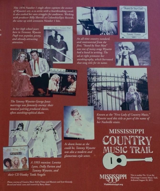
The record, bearing her new stage name, Tammy Wynette, did well, and the follow-up, “Your Good Girl’s Gonna Go Bad,” was a top ten hit. “My Elusive Dreams,” a duet with David Houston, was her first number one hit in 1967 and proved the beginning of a run of hits including country classics “Stand By Your Man,” “D-I-V-O-R-C-E,” and “I Don’t Want to Play House.” During the decade that followed, Wynette and her colleague Loretta Lynn ruled the country charts and set a new standard for stardom for women in the field.
Wynette married honky tonk legend George Jones in 1969, and they had one daughter, Tamala Georgette. Wynette’s life dramas became the stuff of headlines; though the famous couple recorded a series of popular duet albums, they divorced in 1975. She found stability when she married songwriter George Richey in 1978, but her health had begun to fail. She died in April 1998. Only a few months later she was inducted into the Country Music Hall of Fame, leaving a legacy as one of country music’s greatest vocalists.
Erected 2011 by Mississippi Country Music Trail. (Marker Number 14.)
Topics and series. This historical marker is listed in these topic lists: Arts, Letters, Music • Entertainment • Women. In addition, it is included in the Mississippi Country Music Trail series list. A significant historical month for this entry is April 1998.
Location. 34° 14.114′ N, 88° 15.737′ W. Marker is in Tremont, Mississippi, in Itawamba County. Marker is at the intersection of Mississippi Route 178 and Stone Drive, on the left when traveling west on State Route 178. Touch for map. Marker is at or near this postal address: 10130 Hwy 178 East, Tremont MS 38876, United States of America. Touch for directions.
Other nearby markers. At least 8 other markers are within 9 miles of this marker, measured as the crow flies. Bankhead Highway (approx. 0.2 miles away); The Chickasaw Nation (approx. 1.9 miles away); Oakland Normal Institute (approx. 3.9 miles away); Historical African~American Cemetery (approx. 8.3 miles away); Fulton Cemetery (approx. 8.4 miles away); The Cedars (approx. 8.6 miles away); Aeolian Grove (approx. 8.6 miles away); Early Church Site (approx. 8.7 miles away). Touch for a list and map of all markers in Tremont.
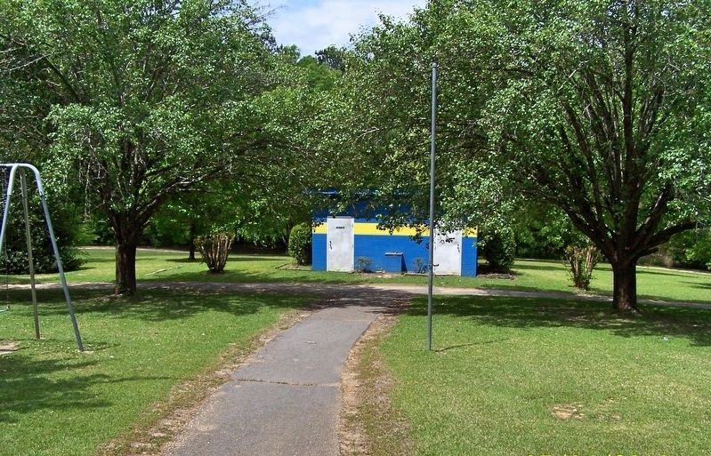
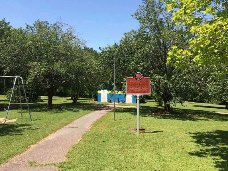
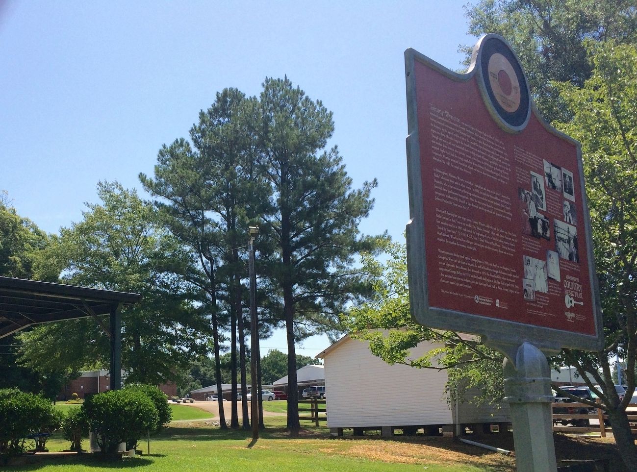
More about this marker. The marker has been moved to the Tammy Wynette Legacy Park and Restaurant, which is now closed.
Regarding Tammy Wynette. I have uploaded a pic similar to the poster's pic #8 to show that the marker is not at the original coords.
Also see . . . Wikipedia article about Tammy Wynette. (Submitted on August 7, 2016, by Mark Hilton of Montgomery, Alabama.)
Credits. This page was last revised on July 31, 2023. It was originally submitted on August 7, 2016, by Mark Hilton of Montgomery, Alabama. This page has been viewed 1,009 times since then and 73 times this year. Last updated on May 7, 2018, by David J Gaines of Pinson, Alabama. Photos: 1, 2. submitted on August 7, 2016, by Mark Hilton of Montgomery, Alabama. 3, 4. submitted on May 7, 2018, by David J Gaines of Pinson, Alabama. 5, 6. submitted on August 7, 2016, by Mark Hilton of Montgomery, Alabama. 7. submitted on May 7, 2018, by David J Gaines of Pinson, Alabama. 8, 9. submitted on August 7, 2016, by Mark Hilton of Montgomery, Alabama. • Bill Pfingsten was the editor who published this page.
