Near Montgomery Creek in Shasta County, California — The American West (Pacific Coastal)
Fountain Fire Namesake Marker
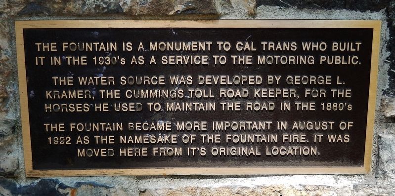
The fountain is a monument to Cal Trans who built it in the 1930's as a service to the motoring public.
The water source was developed by George L Kramer, the Cummings Toll Road Keeper, for the horses he used to maintain the road in the 1880's.
The fountain became more important in August of 1992 as the namesake of the Fountain Fire. It was moved here from its original location.
Topics. This historical marker is listed in this topic list: Roads & Vehicles. A significant historical month for this entry is August 1992.
Location. 40° 51.878′ N, 121° 53.795′ W. Marker is near Montgomery Creek, California, in Shasta County. Marker can be reached from California Route 299. The fountain and marker are located within the Hillcrest Rest Area on California Highway 299. Touch for map. Marker is in this post office area: Montgomery Creek CA 96065, United States of America. Touch for directions.
Other nearby markers. At least 1 other marker is within 8 miles of this marker, measured as the crow flies. Fountain Fire Vista Point (approx. 7.6 miles away).
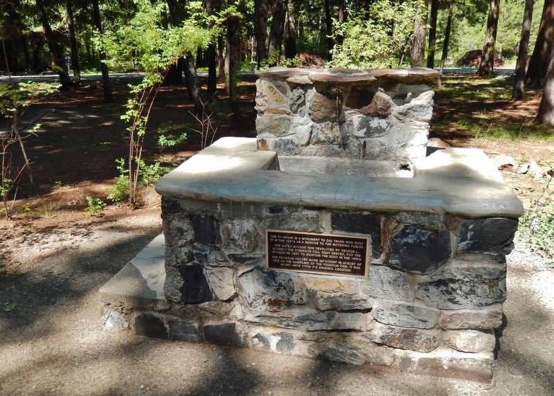
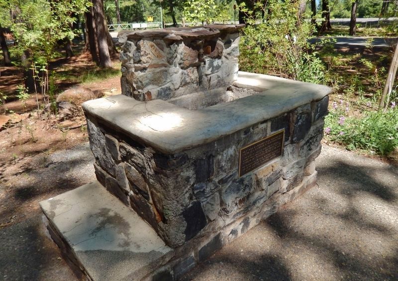
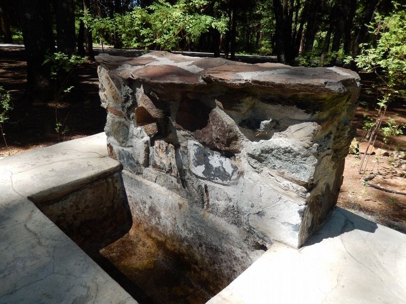
More about this marker. This memorial marker is a metal placard built into the stonework fountain it describes.
Related marker. Click here for another marker that is related to this marker. To better understand the relationship, study each marker in the order shown.
Also see . . .
1. The Fountain Fire - Round Mountain, CA. Waymarking website entry:
On August 19, 1992, a fire called the Fountain Fire started off Buzzard Roost Road. It destroyed approximately 600 structures in Round Mountain and the surrounding towns. The fire burned 64,000 acres (260 km2), and also burned most of Round Mountain's neighbor, Montgomery Creek. The towns were declared a disaster area. The town of Burney was threatened as well. (Submitted on August 9, 2016, by Cosmos Mariner of Cape Canaveral, Florida.)
2. 1992 Fountain Fire Anniversary. Volcano Madness website entry (Submitted on November 13, 2021, by Larry Gertner of New York, New York.)
Credits. This page was last revised on November 13, 2021. It was originally submitted on August 9, 2016, by Cosmos Mariner of Cape Canaveral, Florida. This page has been viewed 385 times since then and 14 times this year. Photos: 1, 2, 3, 4. submitted on August 9, 2016, by Cosmos Mariner of Cape Canaveral, Florida. • Syd Whittle was the editor who published this page.


