Lessley in Wilkinson County, Mississippi — The American South (East South Central)
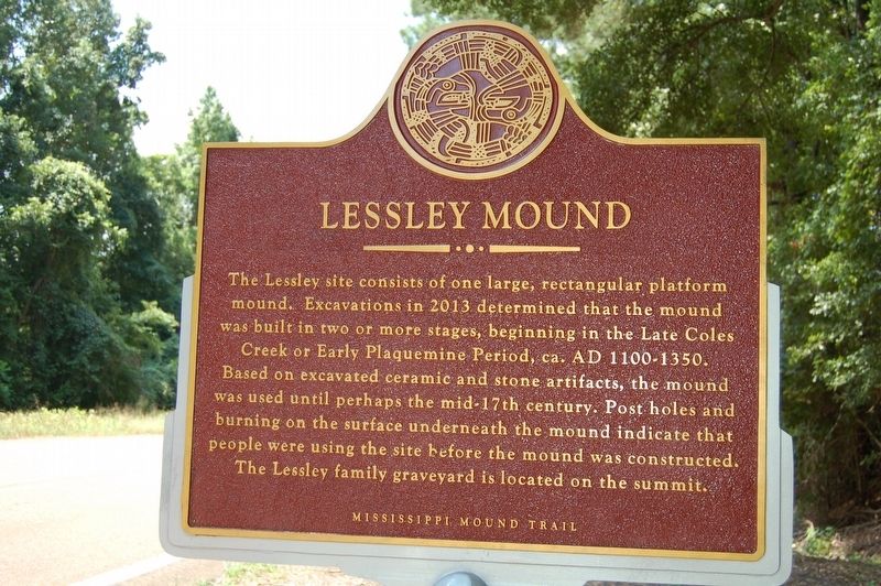
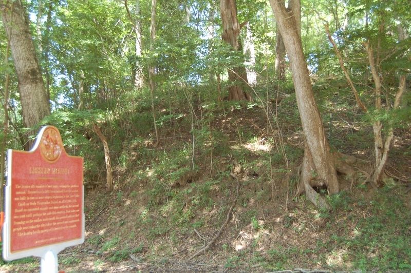
Lessley Mound
— Mississippi Mound Trail —
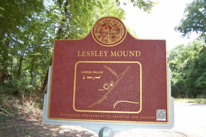
Lower Plaque
This archaeological site is on private property. Please view from the pull-off area.
NO TRESPASSING
Erected by Mississippi Department of Archives and History.
Topics and series. This historical marker is listed in these topic lists: Anthropology & Archaeology • Cemeteries & Burial Sites • Native Americans • Settlements & Settlers. In addition, it is included in the Mississippi Mound Trail series list.
Location. 31° 9.494′ N, 91° 26.414′ W. Marker is in Lessley, Mississippi, in Wilkinson County. Marker is on State Highway 24 west of Pleasant Valley Road, on the right when traveling west. Touch for map. Marker is in this post office area: Woodville MS 39669, United States of America. Touch for directions.
Other nearby markers. At least 8 other markers are within 9 miles of this marker, measured as the crow flies. Smith Creek Mounds (approx. 4.6 miles away); Plitt House (approx. 8.8 miles away); John William Goddard House (approx. 8.9 miles away); Morgan-Babers House (approx. 8.9 miles away); Morgan Cottage (approx. 8.9 miles away); Lewis Family Cemetery (approx. 9 miles away); Miller-Townsend Cottage (approx. 9 miles away); Gorney House (approx. 9 miles away).
Credits. This page was last revised on October 28, 2023. It was originally submitted on August 9, 2016. This page has been viewed 546 times since then and 31 times this year. Photos: 1, 2. submitted on August 9, 2016, by Cajun Scrambler of Assumption, Louisiana. 3. submitted on August 9, 2016. 4. submitted on August 9, 2016, by Cajun Scrambler of Assumption, Louisiana. • Bernard Fisher was the editor who published this page.


