Near Farson in Sweetwater County, Wyoming — The American West (Mountains)
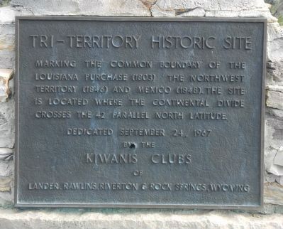
Tri-Territory Historic Site
Erected 1967 by Kiwanis Clubs of Lander, Rawlings, Riverton & Rock Springs, Wyoming.
Topics. This historical marker is listed in these topic lists: Landmarks • Political Subdivisions.
Location. 42° 0′ N, 108° 55.032′ W. Marker is near Farson, Wyoming, in Sweetwater County. Marker is on BLM Road 4102 near County Route 83, on the left when traveling south. Touch for map. Marker is in this post office area: Farson WY 82932, United States of America. Touch for directions.
Other nearby markers. At least 1 other marker is within walking distance of this marker. A different marker also named Tri-Territory Historic Site (a few steps from this marker).
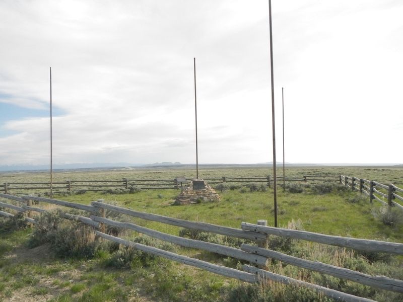
More about this marker. It is a 31 mile drive on dirt and gravel roads to the location of the Tri-Territory Historic Site. From Wyoming Highway 28 take Sweetwater County Road 21 (Bar X Road) and Sweetwater County Road 83 (Freighter Gap Road) to BLM Road 4102, then turn south for 2 or 3 miles. The route to Tri-Territory Historic Site is well-marked by BLM signs.
Regarding Tri-Territory Historic Site. It is hard to imagine that anything ever happened at so isolated a location, but at this spot three nations, Mexico, Great Britain and the United States, met; three nations that competed for and fought for control of the North American continent.
Credits. This page was last revised on August 10, 2016. It was originally submitted on August 10, 2016, by Barry Swackhamer of Brentwood, California. This page has been viewed 779 times since then and 16 times this year. Photos: 1, 2. submitted on August 10, 2016, by Barry Swackhamer of Brentwood, California.

