Near South Pass City in Fremont County, Wyoming — The American West (Mountains)
Meadows in the Sage
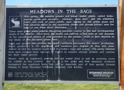
These small green plants provide life-giving nutrients crucial to the last developmental stages of the embryo. Once born, the heath and survival of the fawn or calf depends on the amount and quality of milk provided by the mother, which in turn depends on her intake of this succulent green feed.
Forbs and grasses also provide the moist conditions necessary for insect production. Insect production in the sagebrush and meadows are highest in May and June. Almost all bird life requires insect food to produce eggs and young. The newly hatched birds must consume large amounts of insects to acquire enough protein and calcium for their rapid growth.
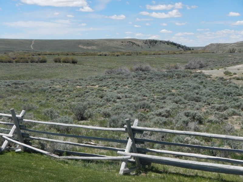
Shrubs, such as sagebrush, provide fall and winter feed as well as yearlong cover for wildlife in this country. And so, it is the grass and forb meadows scattered throughout the sagebrush lands that are an important part of the special formula helping to keep Wyoming's wild lands abundant with wildlife.
Erected by Wyoming Fish and Game Department.
Topics. This historical marker is listed in this topic list: Natural Features.
Location. 42° 22.956′ N, 108° 53.844′ W. Marker is near South Pass City, Wyoming, in Fremont County. Marker is on Dickinson Avenue (State Highway 28), on the right when traveling south. Touch for map. Marker is in this post office area: Lander WY 82520, United States of America. Touch for directions.
Other nearby markers. At least 8 other markers are within 6 miles of this marker, measured as the crow flies. South Pass (within shouting distance of this marker); Narcissa Prentiss Whitman (approx. 2.8 miles away); Old Oregon Trail (approx. 2.8 miles away); a different marker also named South Pass (approx. 2.8 miles away); Oregon Buttes (approx. 2.9 miles away); Lander Cut-Off on the Oregon Trail (approx. 3.1 miles away); Pacific Springs (approx. 4.2 miles away); a different marker also named South Pass (approx. 5.3 miles away). Touch for a list and map of all markers in South Pass City.
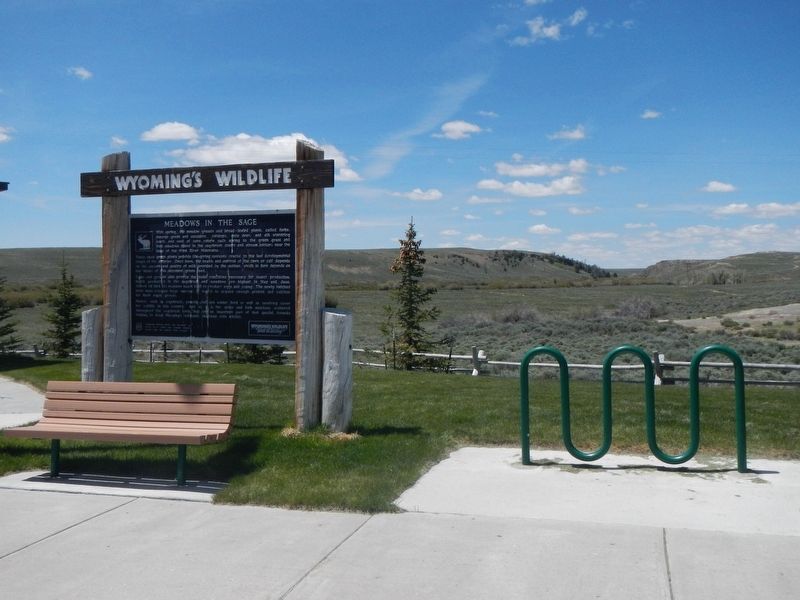
More about this marker. This marker is located at the South Pass Rest Area, just north of where Wyoming 28 crosses the Sweetwater River.
Credits. This page was last revised on August 11, 2016. It was originally submitted on August 10, 2016, by Barry Swackhamer of Brentwood, California. This page has been viewed 356 times since then and 26 times this year. Photos: 1, 2, 3. submitted on August 11, 2016, by Barry Swackhamer of Brentwood, California.


