Near Fort Adams in Wilkinson County, Mississippi — The American South (East South Central)
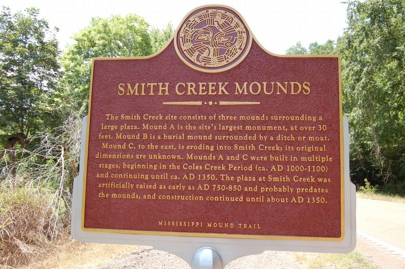
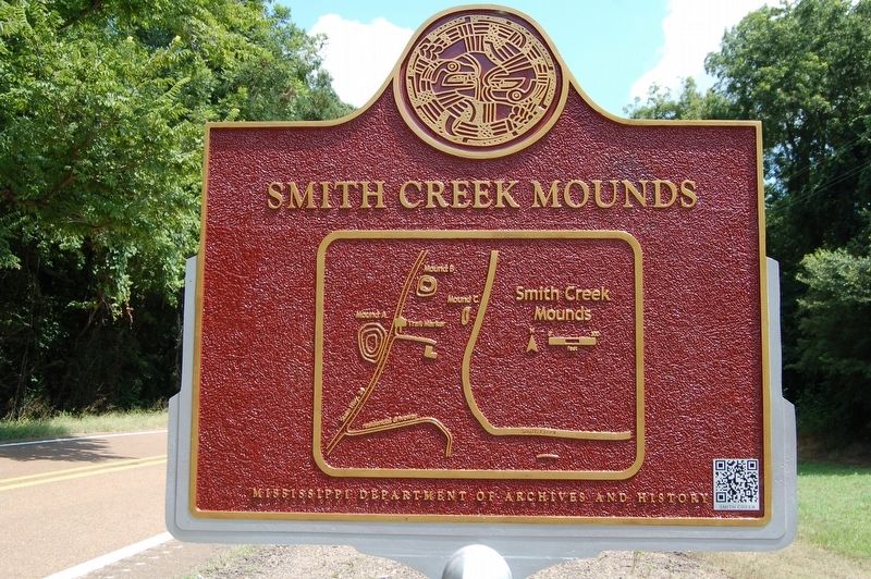
Smith Creek Mounds
— Mississippi Mound Trail —
Lower Plaque
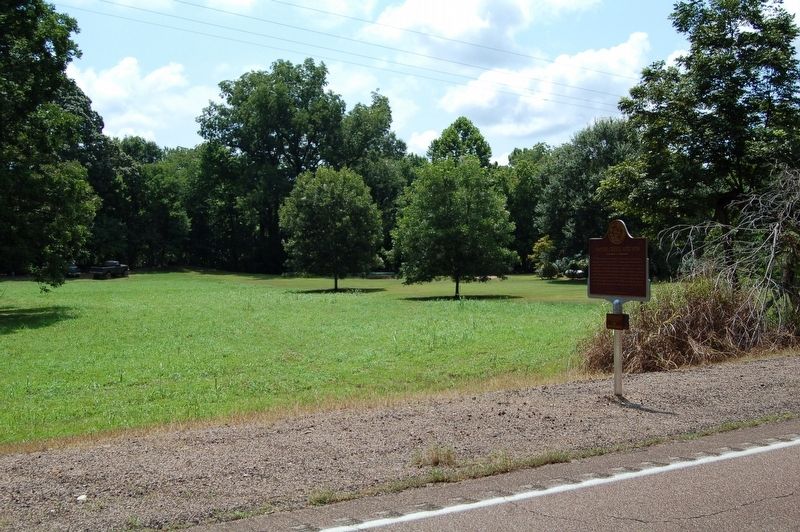
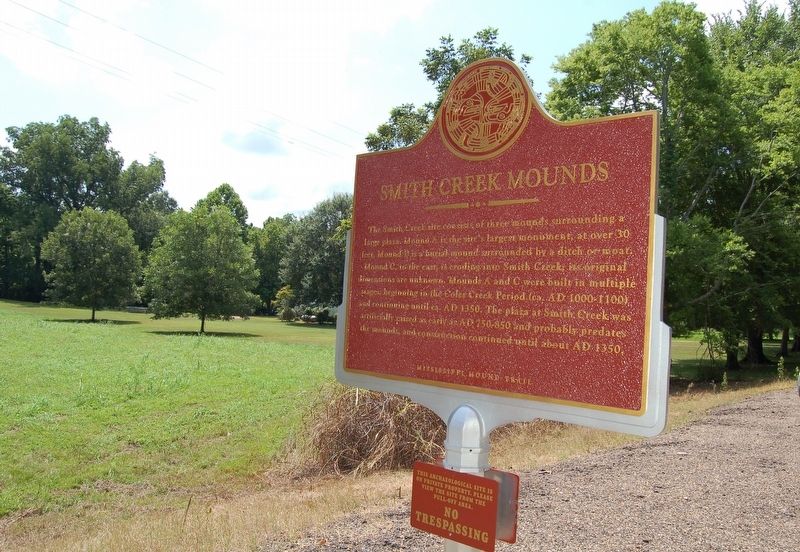
This archaeological site is on private property. Please view from the pull-off area.
NO TRESPASSING
Erected by Mississippi Department of Archives and History.
Topics and series. This historical marker is listed in these topic lists: Anthropology & Archaeology • Cemeteries & Burial Sites • Native Americans • Waterways & Vessels. In addition, it is included in the Mississippi Mound Trail series list.
Location. 31° 8.414′ N, 91° 30.936′ W. Marker is near Fort Adams, Mississippi, in Wilkinson County. Marker is on State Highway 24, half a mile north of Millbrook Road, on the right when traveling east. Touch for map. Marker is in this post office area: Woodville MS 39669, United States of America. Touch for directions.
Other nearby markers. At least 7 other markers are within 14 miles of this marker, measured as the crow flies. Lessley Mound (approx. 4.6 miles away); Old River (approx. 7 miles away in Louisiana); Richard K. Yancey (approx. 7.7 miles away in Louisiana); Grave Of Oliver Pollock (approx. 8.8 miles away); Three Rivers Confluence (approx. 11.9 miles away in Louisiana); a different marker also named Old River (approx. 13.3 miles away in Louisiana); Avenue of Magnolias (approx. 13.9 miles away).
Also see . . . Mississippi Department of Archives & History website about the Smith Creek Mounds. (Submitted on May 28, 2017, by Mark Hilton of Montgomery, Alabama.)
Credits. This page was last revised on October 28, 2023. It was originally submitted on August 11, 2016. This page has been viewed 637 times since then and 48 times this year. Photos: 1, 2, 3. submitted on August 11, 2016, by Cajun Scrambler of Assumption, Louisiana. 4, 5. submitted on August 11, 2016. • Bernard Fisher was the editor who published this page.
