Claude in Armstrong County, Texas — The American South (West South Central)
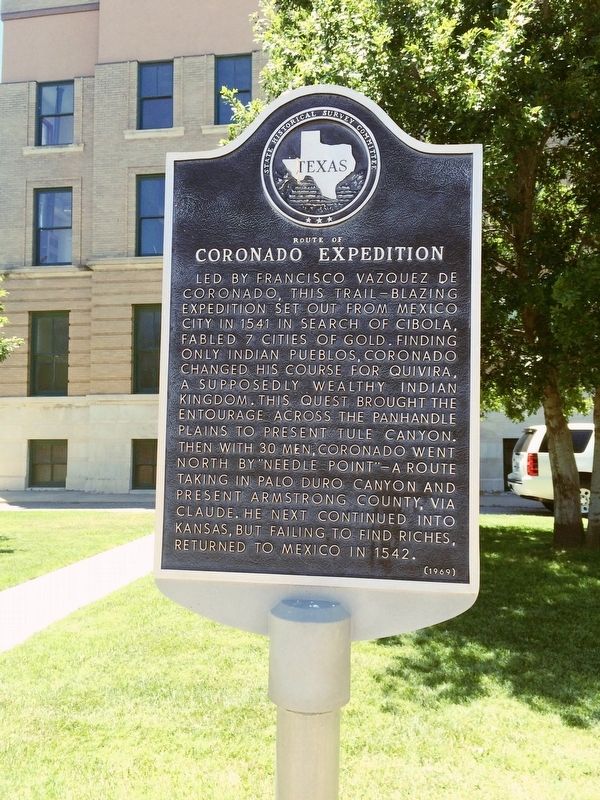
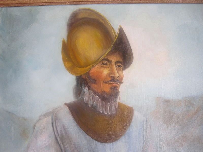
Route of Coronado Expedition
Erected 1969 by State Historical Survey Committee. (Marker Number 4366.)
Topics. This historical marker is listed in these topic lists: Colonial Era • Exploration • Native Americans. A significant historical year for this entry is 1541.
Location. 35° 6.574′ N, 101° 21.531′ W. Marker is in Claude, Texas, in Armstrong County. Marker is at the intersection of 1st Street (Highway 287) and Trice Street, on the left when traveling west on 1st Street. Located at the Armstrong County Courthouse. Touch for map. Marker is at or near this postal address: 100 Trice Street, Claude TX 79019, United States of America. Touch for directions.
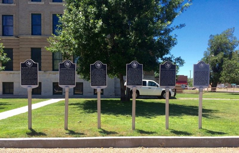
Other nearby markers. At least 8 other markers are within walking distance of this marker. Dr. and Mrs. Wm. A. Warner (here, next to this marker); Town of Claude (here, next to this marker); Boy Scout Troop No. 17 (here, next to this marker); The Great Panhandle Indian Scare of 1891 (here, next to this marker); Charles Howard Roan (here, next to this marker); Armstrong County (here, next to this marker); "The Claude News" (about 400 feet away, measured in a direct line); Early Sheriffs (about 500 feet away). Touch for a list and map of all markers in Claude.
Also see . . .
1. Wikipedia article on Francisco Vázquez de Coronado. (Submitted on August 13, 2016, by Mark Hilton of Montgomery, Alabama.)
2. Wikipedia article on Coronado's search for Quivira. (Submitted on August 13, 2016, by Mark Hilton of Montgomery, Alabama.)
Credits. This page was last revised on December 18, 2019. It was originally submitted on August 13, 2016, by Mark Hilton of Montgomery, Alabama. This page has been viewed 699 times since then and 33 times this year. Photos: 1, 2, 3. submitted on August 13, 2016, by Mark Hilton of Montgomery, Alabama.


