Near Hiseville in Barren County, Kentucky — The American South (East South Central)
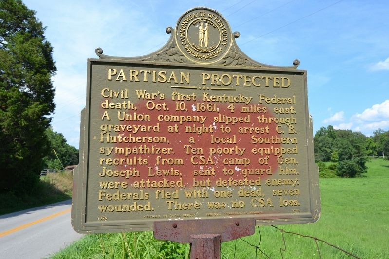
Partisan Protected
Erected 1970 by Kentucky Historical Society and Kentucky Department of Highways. (Marker Number 1365.)
Topics and series. This historical marker is listed in this topic list: War, US Civil. In addition, it is included in the Kentucky Historical Society series list. A significant historical date for this entry is October 10, 1861.
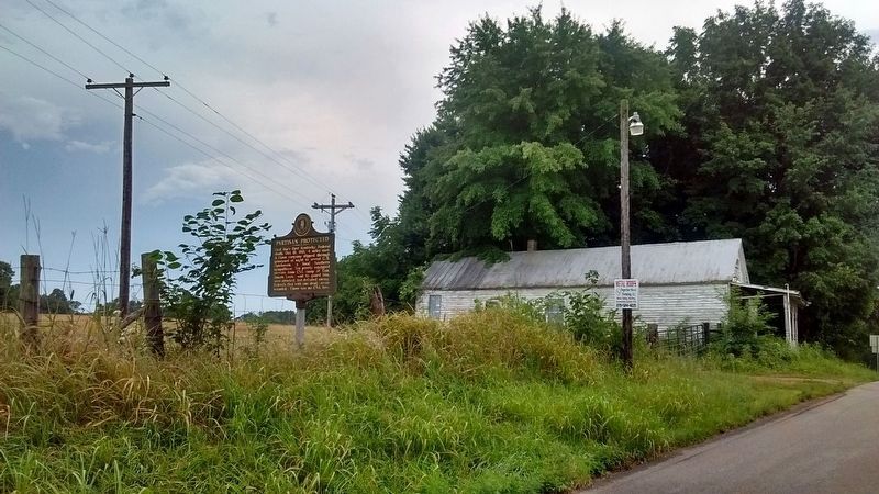
Location. 37° 8.317′ N, 85° 46.618′ W. Marker is near Hiseville, Kentucky, in Barren County. Marker is at the intersection of Hiseville-Park Road (State Highway 740) and Seymour-Park Road (State Route 571), on the right when traveling north on Hiseville-Park Road. Touch for map. Marker is in this post office area: Horse Cave KY 42749, United States of America. Touch for directions.
Other nearby markers. At least 8 other markers are within 9 miles of this marker, measured as the crow flies. Savoyard (approx. 2.7 miles away); Last Recorded Indian Raid (approx. 3.3 miles away); Lt. Gov. James G. Hardy (approx. 4˝ miles away); Ed Porter Thompson (approx. 4.6 miles away); F. M. Jones and Bro. General Store (approx. 7.6 miles away); First Farmers Rural Electric Co-Op Substation (approx. 7.7 miles away); Lt. Charles Moran - USAF (approx. 7.7 miles away); Discovery of Sulphur Well / Beula Villa Hotel (approx. 8.3 miles away).
Credits. This page was last revised on June 3, 2021. It was originally submitted on August 19, 2016, by Duane Hall of Abilene, Texas. This page has been viewed 625 times since then and 21 times this year. Photos: 1. submitted on August 19, 2016, by Duane Hall of Abilene, Texas. 2. submitted on November 30, 2019, by Tom Bosse of Jefferson City, Tennessee.

