Havre de Grace in Harford County, Maryland — The American Northeast (Mid-Atlantic)
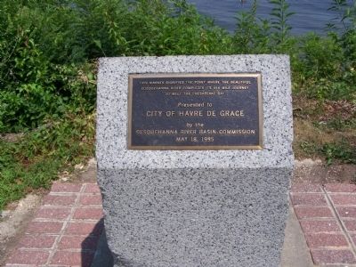
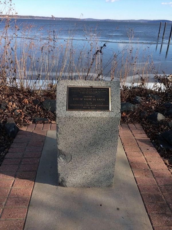
The point where the Susquehanna River meets the Chesapeake Bay
City of Havre de Grace
by the
Susquehanna River Basin Commission
May 18, 1995
Erected 1995 by Susquehanna River Basin Commission.
Topics. This historical marker is listed in these topic lists: Natural Features • Natural Resources • Notable Places • Waterways & Vessels. A significant historical month for this entry is May 1995.
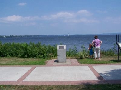
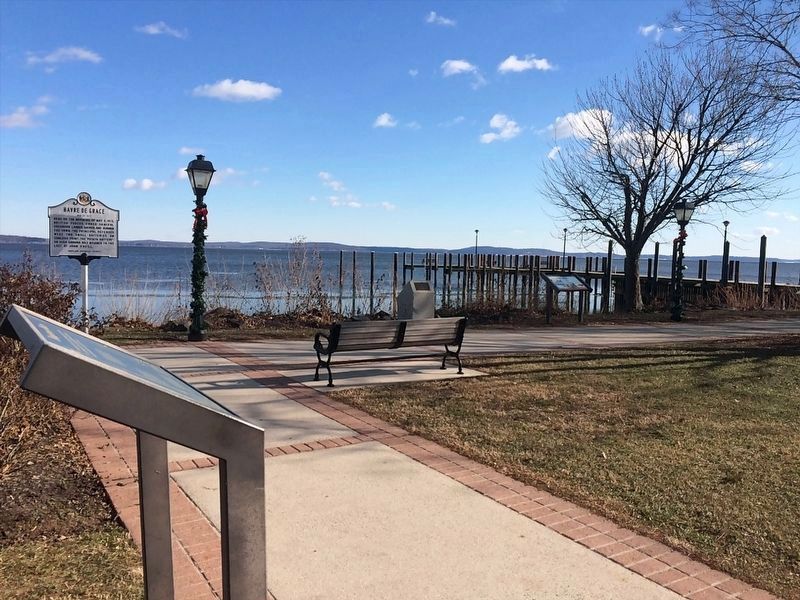
Location. 39° 32.432′ N, 76° 5.077′ W. Marker is in Havre de Grace, Maryland, in Harford County. Marker can be reached from Commerce Street. Marker is on the Havre de Grace Promenade, a board walk from Millard E. Tydings Memorial Park to the Havre de Grace Lighthouse. Touch for map. Marker is in this post office area: Havre de Grace MD 21078, United States of America. Touch for directions.
Other nearby markers. At least 8 other markers are within walking distance of this marker. British Landing (here, next to this marker); Dangerous Waters (a few steps from this marker); John O'Neill (a few steps from this marker); Principio Destroyed (within shouting distance of this marker); Concord Point Light Station (within shouting distance of this marker); The Concord Point Light Keeper’s House and Property, 1827-1920 (within shouting distance of this marker); Havre de Grace (within shouting distance of this marker); Keeper of the Light (within shouting distance of this marker). Touch for a list and map of all markers in Havre de Grace.
Related markers. Click here for a list of markers that are related to this marker. Walking tour of Havre de Grace Promenade
Credits. This page was last revised on January 20, 2022. It was originally submitted on July 29, 2008, by Bill Pfingsten of Bel Air, Maryland. This page has been viewed 1,754 times since then and 35 times this year. Photos: 1. submitted on July 29, 2008, by Bill Pfingsten of Bel Air, Maryland. 2. submitted on January 15, 2022, by Adam Margolis of Mission Viejo, California. 3. submitted on July 29, 2008, by Bill Pfingsten of Bel Air, Maryland. 4. submitted on January 15, 2022, by Adam Margolis of Mission Viejo, California.


