Vicksburg in Warren County, Mississippi — The American South (East South Central)
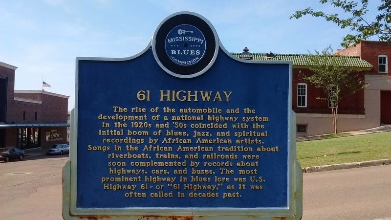
61 Highway
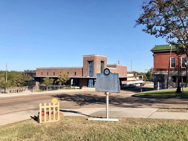
The rise of the automobile and the development of a national highway system in the 1920's and '30s coincided with the initial boom of blues, jazz, and spiritual recordings by African American artists. Songs in the African American tradition about riverboats, trains, and railroads were soon complemented by records about highways, cars, and buses. The most prominent highway in blues lore was U.S. highway 61 - or "61 Highway," as it was often called in decades past.
Side 2:
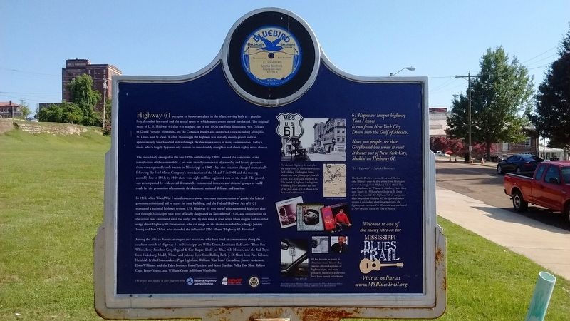
Highway 61 occupies an important place in the blues, serving both as a popular lyrical symbol for travel and the actual route by which many artists moved northward. the original route of Highway 61 that was mapped out in the 1920s ran from downtown New Orleans to Grand Portage, Minnesota, on the Canadian border and connected cities including Memphis, St. Louis, and St. Paul. With Mississippi the highway was initially mostly gravel and ran approximately four hundred miles through downtown areas of many communities. today's route, which largely bypasses city centers, is considerably straighter and about 80 miles shorter.
The blues likely emerged in the late 1890s and the early 1900s, around the same time as the introduction of the automobile. Cars were initially somewhat of a novelty and luxury product — there were reportedly only twenty in Mississippi in 1900 - but this situation changed dramatically following the Ford Motor Company's introduction of the Model T in 1908 and the moving assembly line in 1913; by 1920 there were eight million registered cards on the road. This growth was accompanied by widespread demands by commercial interests and citizens' groups to build roads for the promotion of economic development, national defense, and tourism.
In 1916, when World War I raised concerns about interstate transportation of goods, the federal government initiated aid to states for road building, and the Federal Highway Act of 1921 mandated a national highway system. U.S. Highway 61 was one of nine numbered highways that ran through Mississippi that were officially designated in November of 1926, and construction on the initial road continued until the early '40s. By this time at least seven blues singers had recorded songs about Highway 61; later artists who cut songs on the theme included Vicksburg's Johnny Young and Bob Dylan, who recorded the influential 1965 album "Highway 61 Revisited".
Among the African American singers and musicians who have lived in communities along the southern stretch of Highway 61 in Mississippi are Willie Dixon, Louisiana Red, Artie "Blues Boy" White, Percy Strother, Greg Osgood & Cee Blaque, Little Joe Blue, Milt Hinton, and the Red Tops from Vicksburg; Muddy Waters and Johnny Dyer from Rolling Fork; J.D. Short from Port Gibson; Hezekiah & the Houserockers, Pap Lightfoot, William "Cat Iron" Carradine, Jimmy Anderson, Elmo Williams, and the Ealey brothers from Natchez; and Scott Dunbar, Polka Dot Slim, Robert Cage, Lester Young, and William Grant Still from Woodville.
(captions)
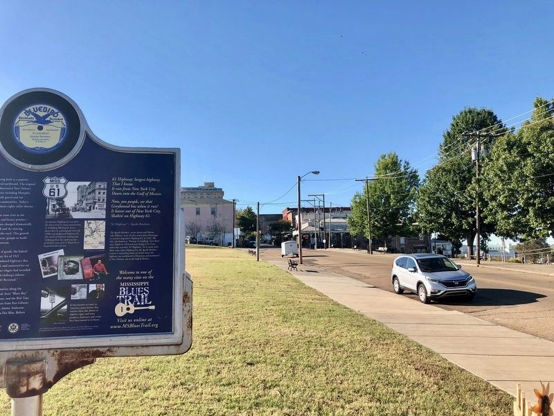
For decades Highway 61 was often the main street in many communities. In Vicksburg Washington Street, shown here in a photograph from the 1920s, was designated Highway 61. The stretch of highway leading into Vicksburg from the south was one of the first areas of U.S. Route 61 to be paved with concrete.
61 has become so iconic in American music history that tourists often take photos of highway signs, and many products, businesses and events have been named in its honor.
61 Highway: longest highway
That I know.
It run from New York City
Down into the Gulf of Mexico
Now, you people, see that
Greyhound bus when it run?
It leaves out of New York City,
Shakin' on Highway 61
"61 Highway" • Sparks Brothers
The Sparks Brothers — twins Aaron and Marion (aka Milton) — were the first artists from Mississippi to record a song about Highway 61, in 1933. The duo, also known as "Pinetop & Lindberg", were born near
Tupelo in 1910 and were living in St. Louis when they recorded "61 Highway." As in many other blues songs about highway 61, the Sparks Brothers version is misleading about its actual route; the highway ran northward to Minnesota and southward to New Orleans, not to the Gulf of Mexico.
Erected 2009 by the Mississippi Blues Commission. (Marker Number 64.)
Topics and series. This historical marker is listed in these topic lists: African Americans • Arts, Letters, Music • Entertainment • Roads & Vehicles. In addition, it is included in the Mississippi Blues Trail series list. A significant historical year for this entry is 1890.
Location. 32° 21.177′ N, 90° 52.89′ W. Marker is in Vicksburg, Mississippi, in Warren County. Marker is at the intersection of Washington Street (Business U.S. 61) and Jackson Street, on the right when traveling north on Washington Street. Touch for map. Marker is in this post office area: Vicksburg MS 39183, United States of America. Touch for directions.
Other nearby markers. At least 8 other markers are within walking distance of this marker. C.S. Company A, (within shouting distance of this marker); Motor Vessel Mississippi IV (about 300 feet away, measured in a direct line); William R. Ferris (about 300 feet away); Mississippi River Commission (about 300 feet away); Tommie Lee Williams, Sr.
(about 400 feet away); Railroads and Rivers (about 400 feet away); Flagships of the MRC (about 400 feet away); The Vicksburg Campaign and Siege (about 500 feet away). Touch for a list and map of all markers in Vicksburg.
Also see . . . Mississippi Blues Trail. (Submitted on August 21, 2016, by Tom Bosse of Jefferson City, Tennessee.)
Credits. This page was last revised on November 14, 2017. It was originally submitted on August 21, 2016, by Tom Bosse of Jefferson City, Tennessee. This page has been viewed 735 times since then and 69 times this year. Photos: 1, 2. submitted on August 21, 2016, by Tom Bosse of Jefferson City, Tennessee. 3, 4. submitted on October 26, 2017, by Mark Hilton of Montgomery, Alabama. 5. submitted on November 14, 2017, by Mark Hilton of Montgomery, Alabama. • Bernard Fisher was the editor who published this page.


