Jenkins in Letcher County, Kentucky — The American South (East South Central)
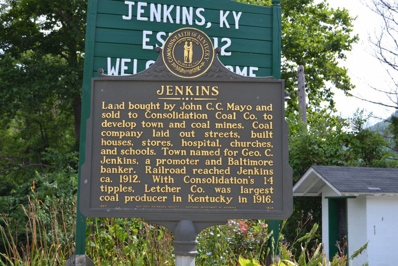
Jenkins
Erected 1987 by Kentucky Historical Society, Kentucky Department of Highways. (Marker Number 1804.)
Topics and series. This historical marker is listed in these topic lists: Industry & Commerce • Settlements & Settlers. In addition, it is included in the Kentucky Historical Society series list. A significant historical year for this entry is 1912.
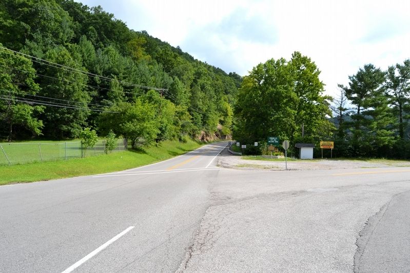
Location. 37° 9.757′ N, 82° 38.549′ W. Marker is in Jenkins, Kentucky, in Letcher County. Marker is at the intersection of State Highway 3086 and State Highway 2550 when traveling north on State Highway 3086. Touch for map. Marker is in this post office area: Jenkins KY 41537, United States of America. Touch for directions.
Other nearby markers. At least 8 other markers are within walking distance of this marker. Pound Gap (approx. half a mile away); Pound Gap Massacre (approx. 0.7 miles away); Caudill’s Army (approx. 0.7 miles away); Brothers Once More (approx. 0.7 miles away); Wise County / Kentucky (approx. 0.8 miles away in Virginia); Jenkins - Dunham - Burdine World War II Veterans Memorial (approx. 0.8 miles away); Lt. Darwin K. Kyle (approx. 0.8 miles away); Leonard Woods Lynched (approx. 0.8 miles away in Virginia). Touch for a list and map of all markers in Jenkins.
Credits. This page was last revised on August 22, 2016. It was originally submitted on August 22, 2016, by Duane Hall of Abilene, Texas. This page has been viewed 399 times since then and 53 times this year. Photos: 1, 2. submitted on August 22, 2016, by Duane Hall of Abilene, Texas.

