Chalmette in St. Bernard Parish, Louisiana — The American South (West South Central)
Chalmet Plantation
Jean Lafitte National Historical Park and Preserve
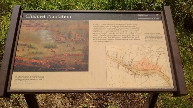
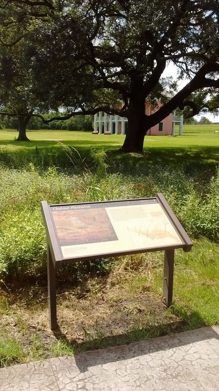
In June 1813 Ignace Delino de Chalmet purchased a sugar plantation that began at Rodriguez Canal and extended along the river for about a mile. The property was typical of many plantations and included 25 slaves, a great house, and outbuildings. To prevent British forces from using the site, American troops packed the main house with gunpowder and started a fire that destroyed most of the property. Although de Chalmet died a little more than a month after the battle, his name became forever attached to the battlefield and the surrounding community.
(captions)
Jean Hyacinthe Laclotte served the Americans as an engineer during the New Orleans campaign. The ruins of the Chalmet plantation are visible in his circa 1840 painting.
Lacarriere Latour, the principal American engineer during the New Orleans campaign, produced maps for his 1816 historical memoir that show topography, property lines, and troop movements.
Erected by National Park Service - United States Department of the Interior.
Topics. This historical marker is listed in this topic list: War of 1812. A significant historical month for this entry is June 1813.
Location. 29° 56.474′ N, 89° 59.677′ W. Marker is in Chalmette, Louisiana, in St. Bernard Parish. Marker can be reached from the intersection of Battlefield Road and Tour Loop Road. Marker can be reached from Battlefield Road within the Chalmette Battlefield portion of the Jean Lafitte National Historical Park and Preserve. Touch for map. Marker is in this post office area: Chalmette LA 70043, United States of America. Touch for directions.
Other nearby markers. At least 8 other markers are within walking distance of this marker. Batteries Two and Three (a few steps from this marker); Rodriguez Plantation and Macarty House (a few steps from this marker); Batteries 2 and 3 (within shouting distance of this marker); Rodriguez Canal (within shouting distance of this marker); The West Bank Assault (within shouting distance of this marker); Battery One and Forward Redoubt (within shouting distance of this marker); Attack Along the River (about 300 feet away, measured in a direct line); a different marker also named Rodriguez Canal (about 300 feet away). Touch for a list and map of all markers in Chalmette.
Also see . . . Chalmette Battlefield. NPS Jean Lafitte National Historical Park and Preserve website entry (Submitted on August 22, 2016, by Tom Bosse of Jefferson City, Tennessee.)
Credits. This page was last revised on January 13, 2023. It was originally submitted on August 22, 2016, by Tom Bosse of Jefferson City, Tennessee. This page has been viewed 709 times since then and 65 times this year. Photos: 1, 2. submitted on August 22, 2016, by Tom Bosse of Jefferson City, Tennessee. • Bernard Fisher was the editor who published this page.

