Near Jenkins in Letcher County, Kentucky — The American South (East South Central)
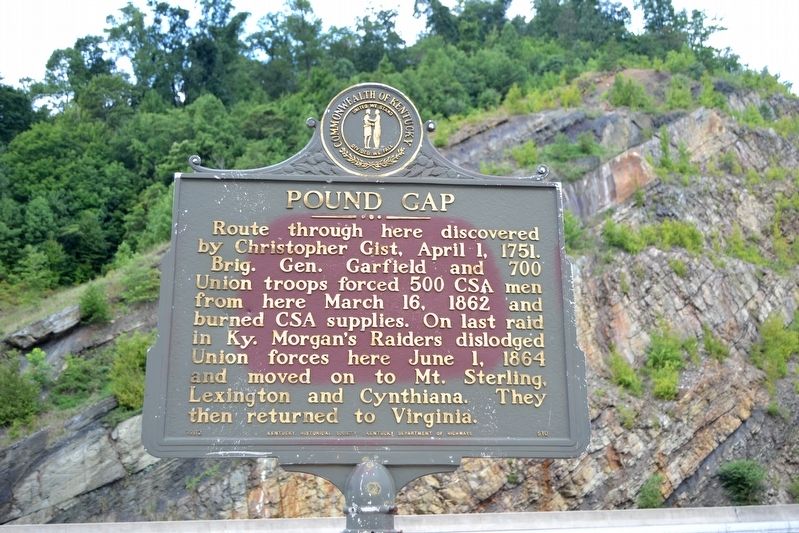
Pound Gap
Brig. Gen. Garfield and 700 Union troops forced 500 CSA men from here March 16, 1862 and burned CSA supplies. On last raid in Ky. Morgan’s Raiders dislodged Union forces here June 1, 1864 and moved on to Mt. Sterling, Lexington and Cynthiana. They then returned to Virginia.
Erected 1962 by Kentucky Historical Society, Kentucky Department of Highways. (Marker Number 510.)
Topics and series. This historical marker is listed in these topic lists: Colonial Era • Exploration • War, US Civil. In addition, it is included in the Kentucky Historical Society series list. A significant historical date for this entry is April 1, 1751.
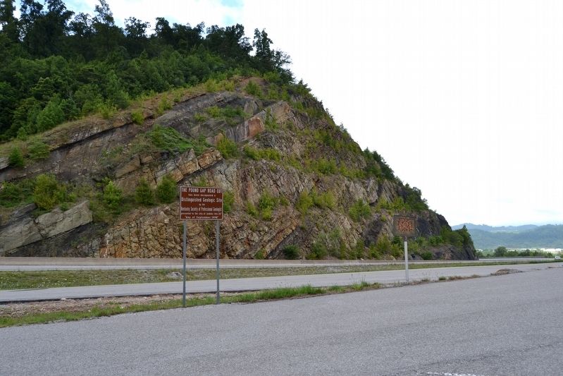
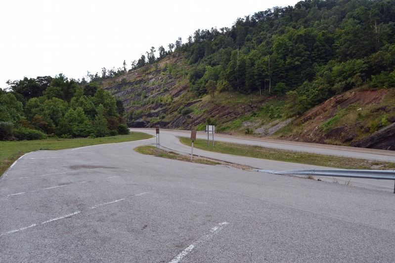
Location. 37° 9.459′ N, 82° 38.207′ W. Marker is near Jenkins, Kentucky, in Letcher County. Marker can be reached from U.S. 23, 0.8 miles east of U.S. 119, on the right when traveling west. Marker is located at a roadside pullout that is only accessible from the US 23 northbound lanes. Touch for map. Marker is in this post office area: Jenkins KY 41537, United States of America. Touch for directions.
Other nearby markers. At least 8 other markers are within walking distance of this marker. Pound Gap Massacre (approx. ¼ mile away); Brothers Once More (approx. ¼ mile away); Caudill’s Army (approx. ¼ mile away); Wise County / Kentucky (approx. 0.3 miles away in Virginia); Leonard Woods Lynched (approx. 0.4 miles away in Virginia); a different marker also named Pound Gap (approx. 0.4 miles away in Virginia); Jenkins (approx. half a mile away); Pound Gap Engagement (approx. ¾ mile away in Virginia).
Also see . . .
1. Pound Gap - Wikipedia entry. (Submitted on August 23, 2016.)
2. Pound Gap (Wise County). From The Virginia Center for Civil War Studies. (Submitted on August 23, 2016.)
Credits. This page was last revised on August 23, 2016. It was originally submitted on August 23, 2016, by Duane Hall of Abilene, Texas. This page has been viewed 596 times since then and 47 times this year. Photos: 1, 2, 3. submitted on August 23, 2016, by Duane Hall of Abilene, Texas.


