Lynch in Harlan County, Kentucky — The American South (East South Central)
Lynch Colored High School - West Main High School
Inscription.
(Side One)
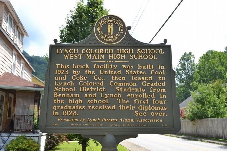
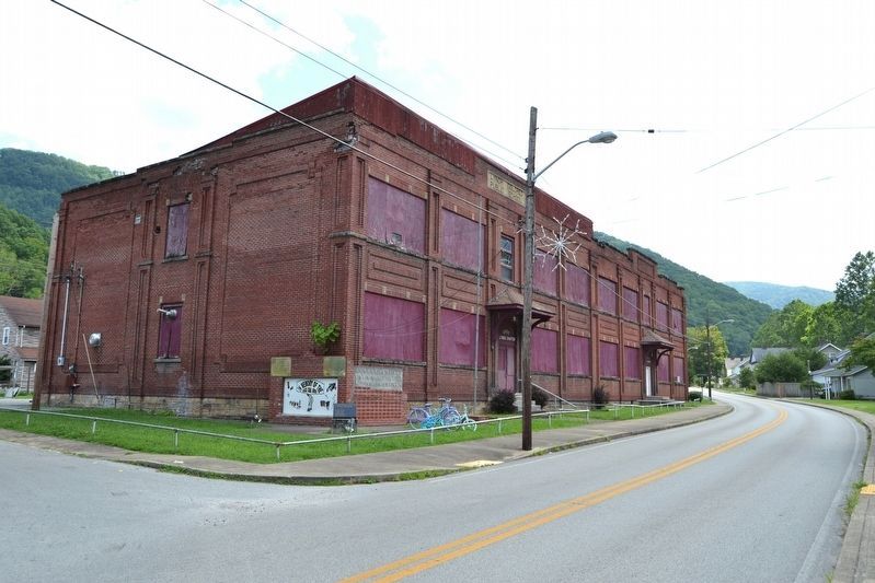
This brick facility was built in 1923 by the United States Coal and Coke Co., then leased to Lynch Colored Common Graded School District. Students from Benham and Lynch enrolled in the high school. The first four graduates received their diplomas in 1928.
(Side Two)
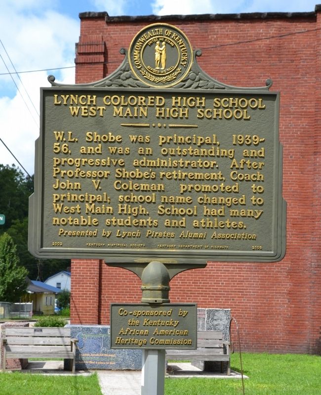
W.L. Shobe was principal, 1939-56, and was an outstanding and progressive administrator. After Professor Shobe’s retirement, Coach John V. Coleman promoted to principal; school name changed to West Main High. School had many notable students and athletes.
Erected 2003 by Kentucky Historical Society, Kentucky Department of Highways. (Marker Number 2109.)
Topics and series. This historical marker is listed in this topic list: Education. In addition, it is included in the Kentucky Historical Society series list. A significant historical year for this entry is 1923.
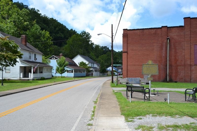
Location. 36° 57.985′ N, 82° 55.987′ W. Marker is in Lynch, Kentucky, in Harlan County. Marker is on State Highway 6 east of Pirate Way, on the left when traveling east. Touch for map. Marker is in this post office area: Lynch KY 40855, United States of America. Touch for directions.
Other nearby markers. At least 8 other markers are within walking distance of this marker. To Honor the Black Coal Miners (within shouting distance of this marker); Joseph Alexander Matthews (approx. 0.6 miles away); City Water Plant (approx. ¾ mile away); Coal Tipple (approx. ¾ mile away); Power House (approx. ¾ mile away); Winifrede Mine Conveyor (approx. 0.8 miles away); History of Lynch (approx. 0.8 miles away); No. 31 Mine Shop (approx. 0.8 miles away). Touch for a list and map of all markers in Lynch.
More about this marker. There is a small metal tablet below the marker with the following: Co-sponsored by the Kentucky African American Heritage Commission.
Credits. This page was last revised on August 23, 2016. It was originally submitted on August 23, 2016, by Duane Hall of Abilene, Texas. This page has been viewed 516 times since then and 51 times this year. Photos: 1, 2, 3, 4. submitted on August 23, 2016, by Duane Hall of Abilene, Texas.


