Chalmette in St. Bernard Parish, Louisiana — The American South (West South Central)
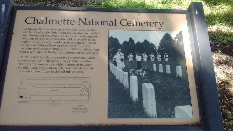
Chalmette National Cemetery
The National Park Service received stewardship of the cemetery in 1933. The peaceful aspect that so often envelops the cemetery provides a moment in which we, the living, may acknowledge the contribution of those who have fought to defend this country.
Erected by National Park Service - United States Department of the Interior.
Topics and series. This historical marker is listed in these topic lists: Cemeteries & Burial Sites • War of 1812 • War, US Civil. In addition, it is included in the National Cemeteries series list. A significant historical year for this entry is 1864.
Location. 29° 56.51′ N, 89° 59.297′ W. Marker is in Chalmette, Louisiana, in St. Bernard Parish. Marker is on Chalmette National Park Scenic Road (Tour Loop Rd), 0.6 miles east of Battlefield Road, on the right when traveling north. The Chalmette National Park Scenic Road, or Tour Loop Road, is located within the Chalmette Battlefield portion of the Jean Lafitte National Historical Park and Preserve. Touch for map. Marker is in this post office area: Chalmette LA 70043, United States of America. Touch for directions.
Other nearby markers. At least 8 other markers are within walking distance of this marker. Roads and Ditches (within shouting distance of this marker); Here We Honor Veterans Who Served Their Country (about 600 feet away, measured in a direct line); British Batteries (about 800 feet away); Serving Those Who Saved Us (approx. 0.2 miles away); Pakenham's Fall (approx. 0.2 miles away); The Main Attack (approx. 0.2 miles away); a different marker also named Chalmette National Cemetery (approx. 0.2 miles away); Chalmette Plantation (approx. ¼ mile away). Touch for a list and map of all markers in Chalmette.
Photographed By Tom Bosse, July 31, 2016
2. Soldiers Buried at Chalmette Marker
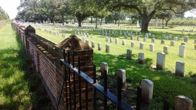
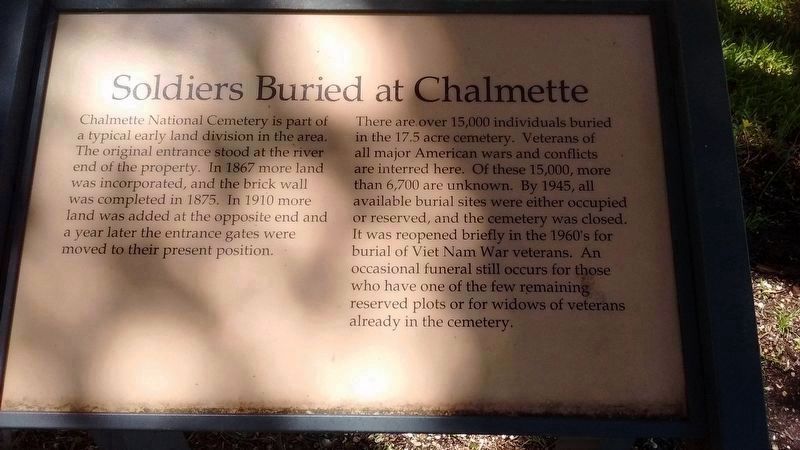
Chalmette National Cemetery is part of a typical early land division in the area. The original entrance stood at the river end of the property. In 1867 more land was incorporated, and the brick wall was completed in 1875. In 1910 more land was added at the opposite end and a year later the entrance gates were moved to their present position.
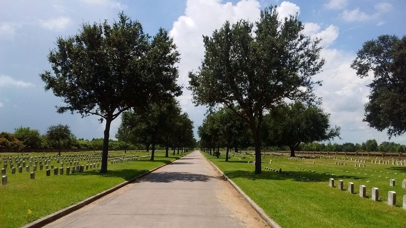
There are over 15,000 individuals buried in the 17.5 acre cemetery. Veterans of all major American wars and conflicts are interred here. Of these 15,000, more the 6,700 are unknown. By 1945, all available burial sites were either occupied or reserved, and the cemetery was closed. It was reopened briefly in the 1960's for burial of Viet Nam War veterans. An occasional funeral still occurs for those who have one of the few remaining reserved plots or for widows of veterans already in the cemetery.
There are over 15,000 individuals buried in the 17.5 acre cemetery. Veterans of all major American wars and conflicts are interred here. Of these 15,000, more the 6,700 are unknown. By 1945, all available burial sites were either occupied or reserved, and the cemetery was closed. It was reopened briefly in the 1960's for burial of Viet Nam War veterans. An occasional funeral still occurs for those who have one of the few remaining reserved plots or for widows of veterans already in the cemetery.
Photographed By Tom Bosse, July 31, 2016
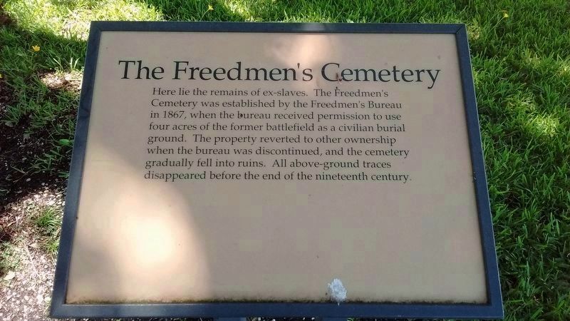
5. The Freedmen's Cemetery Marker
Here lie the remains of ex-slaves. The Freedman's Cemetery was established by the Freedman's Bureau in 1867, when the bureau received permission to use four acres of the former battlefield as a civilian burial ground. The property reverted to other ownership when the bureau was discontinued, and the cemetery gradually fell into ruins. All above-ground traces disappeared before the end of the nineteenth century.
Photographed By Tom Bosse, July 31, 2016
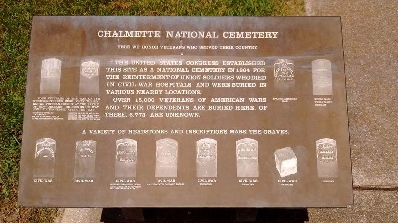
6. Chalmette National Cemetery - Headstone Marker
Here we honor veterans who served their country.
The United States Congress established this site as a National Cemetery in 1864 for the re-interment of Union soldiers who died in Civil War hospitals and were buried in various nearby locations.
Over 15,000 veterans of American wars and their dependents are buried here. Of these, 6,773 are unknown. A variety of headstones and inscriptions mark the graves.
Four veterans of the War of 1812 were re-interred here. Only the unknown veteran fought at the battle of New Orleans. He died on his way home to Tennessee after the war.
Credits. This page was last revised on January 14, 2023. It was originally submitted on August 23, 2016, by Tom Bosse of Jefferson City, Tennessee. This page has been viewed 628 times since then and 46 times this year. Photos: 1, 2, 3, 4, 5, 6. submitted on August 23, 2016, by Tom Bosse of Jefferson City, Tennessee. • Bernard Fisher was the editor who published this page.
