Chalmette in St. Bernard Parish, Louisiana — The American South (West South Central)
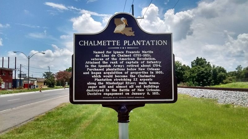
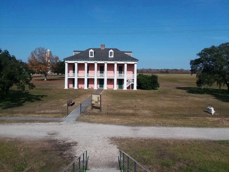
Chalmette Plantation
Erected by St. Bernard Tourist Commission.
Topics. This historical marker is listed in these topic lists: Patriots & Patriotism • War of 1812. A significant historical year for this entry is 1805.
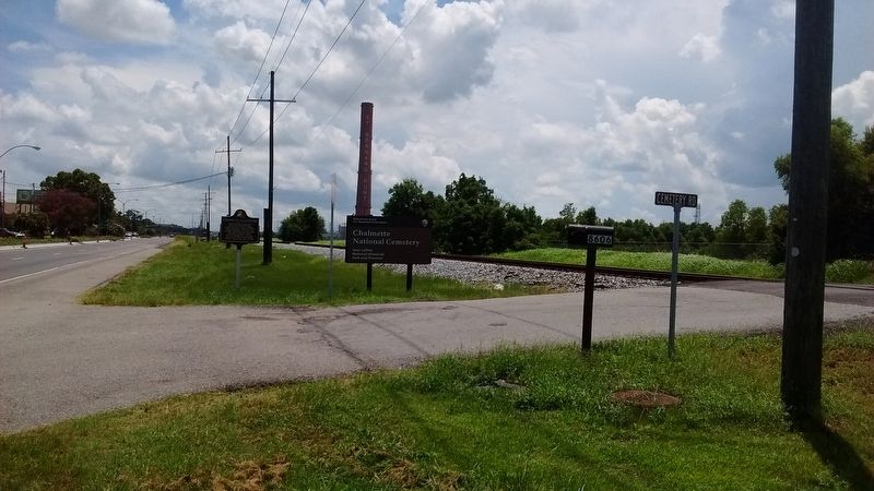
Location. 29° 56.683′ N, 89° 59.15′ W. Marker is in Chalmette, Louisiana, in St. Bernard Parish. Marker is at the intersection of West St Bernard Highway (State Highway 46) and Cemetery Road, on the right when traveling east on West St Bernard Highway. Touch for map. Marker is in this post office area: Chalmette LA 70043, United States of America. Touch for directions.
Other nearby markers. At least 8 other markers are within walking distance of this marker. Chalmette National Cemetery (within shouting distance of this marker); Serving Those Who Saved Us (about 400 feet away, measured in a direct line); Here We Honor Veterans Who Served Their Country (about 700 feet away); Pakenham's Fall (approx. 0.2 miles away); The Main Attack (approx. 0.2 miles away); a different marker also named Chalmette National Cemetery (approx. ¼ mile away); Roads and Ditches (approx. ¼ mile away); The Kentucky Rifle (approx. 0.4 miles away). Touch for a list and map of all markers in Chalmette.
Credits. This page was last revised on January 30, 2022. It was originally submitted on August 23, 2016, by Tom Bosse of Jefferson City, Tennessee. This page has been viewed 1,632 times since then and 230 times this year. Photos: 1, 2. submitted on August 23, 2016, by Tom Bosse of Jefferson City, Tennessee. 3. submitted on January 29, 2022, by Craig Doda of Napoleon, Ohio. • Bernard Fisher was the editor who published this page.


