Escape Across the Potomac
Star-Spangled Banner National Historic Trail
— National Park Service, U.S. Department of the Interior —
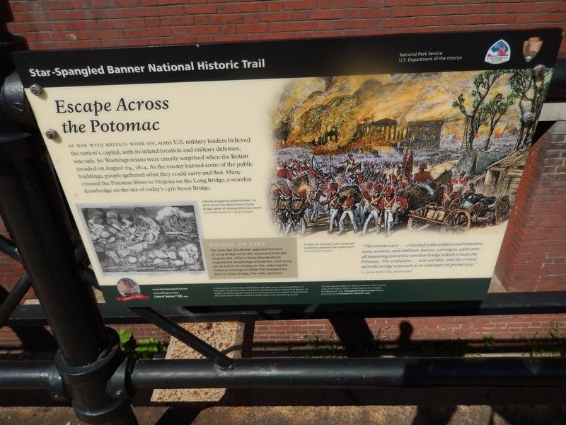
As war with Britain wore on, some U.S. military leaders believed the nation's capital, with its inland location and military defenses, was safe. So Washingtonians were cruelly surprised when the British invaded on August 24, 1814. As the enemy burned some of the public buildings, people gathered what they could carry and fled. Many crossed the Potomac River to Virginia on the Long Bridge, a wooden drawbridge on the site of today's 14th Street Bridge.
Bridge on Fire
The next day, the British captured this end of Long Bridge while the Americans held the Virginia side. After a fierce thunderstorm crippled the drawbridge mechanism, each army set its end of the bridge on fire, reducing the Potomac crossings to either the Georgetown ferry or Chain Bridge, five miles upstream.
"The streets were...crowded with soldiers and senators, men, women, and children, horses, carriages, and carts...all hastening toward a wooden bridge which crosses the Potomac. The confusion...was terrible, and the crowd upon the bridge was such as to endanger its giving way."
Lt. George Robert Gleig, British soldier.
Erected by National Park Service, U.S. Department of the Interior.
Topics and series. This historical marker is listed in this topic list: War of 1812
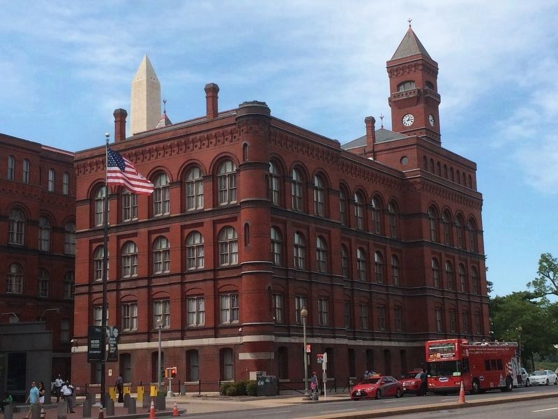
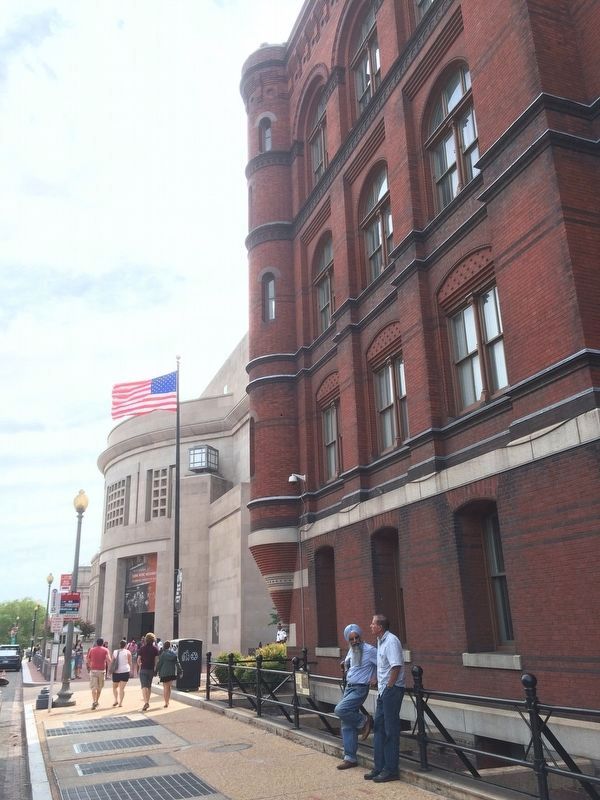
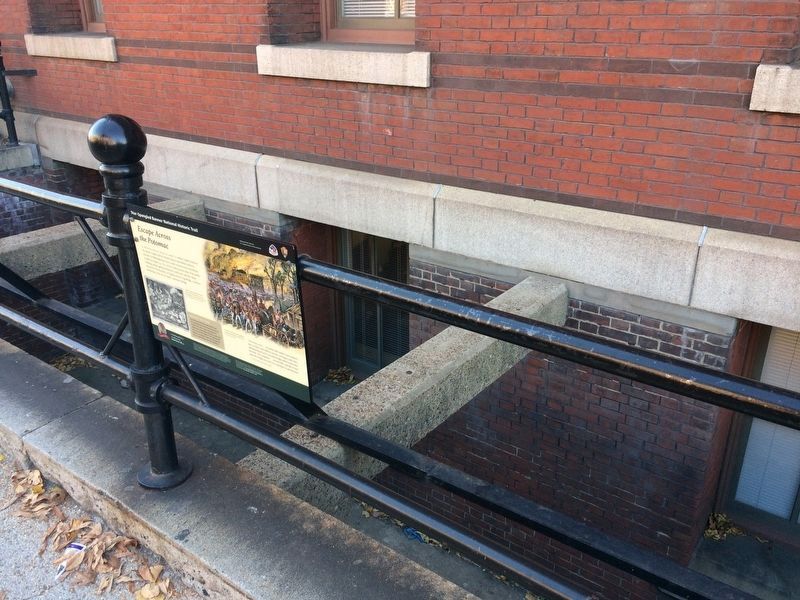
Location. 38° 53.229′ N, 77° 1.928′ W. Marker is in Southwest Washington in Washington, District of Columbia. It is in Southwest Federal Center. Marker is on 14th Street Southwest south of Independence Avenue Southwest, on the right when traveling south. Marker is just north of the Holocaust Museum. Touch for map. Marker is at or near this postal address: 201 14th Street Southwest, Washington DC 20227, United States of America. Touch for directions.
Other nearby markers. At least 8 other markers are within walking distance of this marker. Yates Building (within shouting distance of this marker); The General Dwight David Eisenhower Plaza (within shouting distance of this marker); Wilson Memorial Arch (about 300 feet away, measured in a direct line); James Wilson (about 300 feet away); a different marker also named Wilson Memorial Arch (about 300 feet away); Smokey Bear Blue Spruce (about 400 feet away); Raoul Wallenberg Place (about 400 feet away); Jean Hillery and Thomas Quadros (about 500 feet away). Touch for a list and map of all markers in Southwest Washington.
More about this marker.
Left Illustration
A British engraving dated October 14, 1814, shows the destruction of Long Bridge (letter H) among other key events.
Right
A historical illustrator later imagined the British watching the Capitol burn.
Credits. This page was last revised on January 30, 2023. It was originally submitted on August 25, 2016, by Bill Pfingsten of Bel Air, Maryland. This page has been viewed 417 times since then and 12 times this year. Photos: 1. submitted on August 25, 2016, by Bill Pfingsten of Bel Air, Maryland. 2, 3. submitted on September 7, 2016, by J. Makali Bruton of Accra, Ghana. 4. submitted on November 27, 2017, by Devry Becker Jones of Washington, District of Columbia.


