Fairborn in Greene County, Ohio — The American Midwest (Great Lakes)
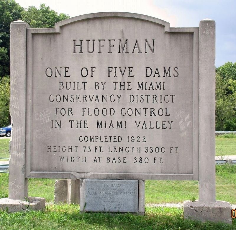
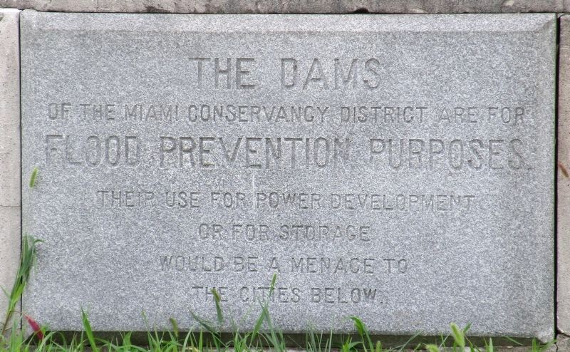
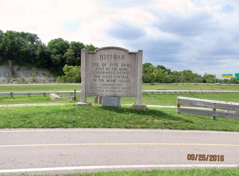
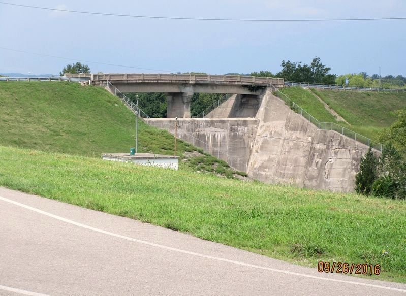
Huffman Dam
— —
Erected 1922 by The Miami Conservancy District.
Topics. This historical marker is listed in these topic lists: Bridges & Viaducts • Disasters • Waterways & Vessels.
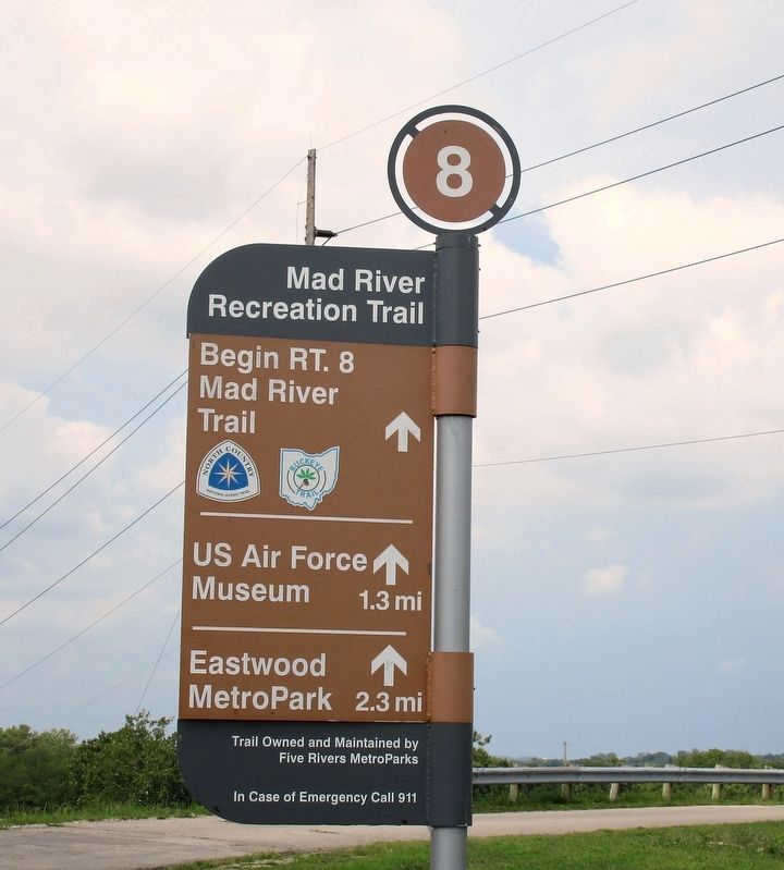
Location. 39° 47.797′ N, 84° 5.398′ W. Marker is in Fairborn, Ohio, in Greene County. Marker is on Huffman Dam Road (Ohio Route 444), on the right when traveling east. Marker is difficult to access; in the Huffman Reservoir area of the Five Rivers Metro Park, closest driveway is marked “Authorized Vehicles only”, possibly under control of the Wright- Patterson Air Force base. Marker is at the south end of the dam. Vehicle traffic is not allowed across the dam, anymore. Touch for map. Marker is in this post office area: Fairborn OH 45324, United States of America. Touch for directions.
Other nearby markers. At least 8 other markers are within 2 miles of this marker, measured as the crow flies. In Case of Floods ... (about 600 feet away, measured in a direct line); Cow Pasture to Flight School (about 600 feet away); Biplanes to Rocket Science (about 600 feet away); In Commemoration of the Courage, Perseverance and Achievement of Wilbur and Orville Wright (approx. 0.2 miles away); Final Honors (approx. 0.2 miles away); Wright Field (approx. 0.8 miles away); Mormon Migration, Kirkland Camp / Facts About Kirkland Camp (approx. 0.9 miles away); Lockheed AC-130A (approx. 1.3 miles away).
Additional keywords. Flood of 1913 Miami Conservancy District
Credits. This page was last revised on August 27, 2016. It was originally submitted on August 26, 2016, by Rev. Ronald Irick of West Liberty, Ohio. This page has been viewed 635 times since then and 47 times this year. Photos: 1, 2, 3, 4, 5. submitted on August 26, 2016, by Rev. Ronald Irick of West Liberty, Ohio. • Bill Pfingsten was the editor who published this page.
