Central Park North End in Manhattan in New York County, New York — The American Northeast (Mid-Atlantic)
Mount Saint Vincent
Inscription.
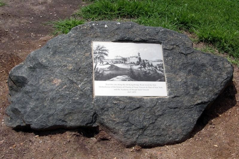
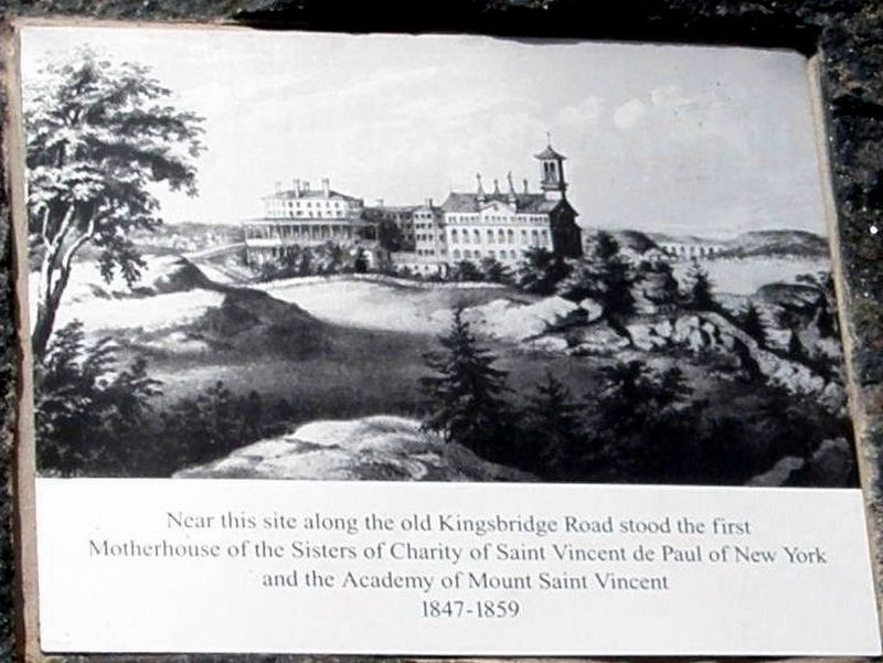
Near this site along the old Kingsbridge Road stood the first motherhouse of the Sisters of Charity of Saint Vincent DePaul of New York and the Academy of Mount Saint Vincent 1847-1859
Topics. This historical marker is listed in these topic lists: Churches & Religion • Education. A significant historical year for this entry is 1847.
Location. 40° 47.717′ N, 73° 57.164′ W. Marker is in Manhattan, New York, in New York County. It is in Central Park North End. Marker is on 5th Avenue. Marker is located in Central Park south of Fort Clinton. Touch for map. Marker is in this post office area: New York NY 10029, United States of America. Touch for directions.
Other nearby markers. At least 8 other markers are within walking distance of this marker. Fort Clinton: On Top of Manhattan (within shouting distance of this marker); McGown's Pass (within shouting distance of this marker); A View From the Road (within shouting distance of this marker); Before There Was a Park (within shouting distance of this marker); Andrew Haswell Green Memorial (about 400 feet away, measured in a direct line); Maria Callas Birthplace (about 600 feet away); The Vanderbilt Gate (about 700 feet away); Odetta (about 800 feet away). Touch for a list and map of all markers in Manhattan.
Credits. This page was last revised on January 31, 2023. It was originally submitted on August 29, 2016, by Larry Gertner of New York, New York. This page has been viewed 682 times since then and 14 times this year. Photos: 1, 2, 3. submitted on August 29, 2016, by Larry Gertner of New York, New York. • Bill Pfingsten was the editor who published this page.


