Near Prestonsburg in Floyd County, Kentucky — The American South (East South Central)
The Confederate Command Post
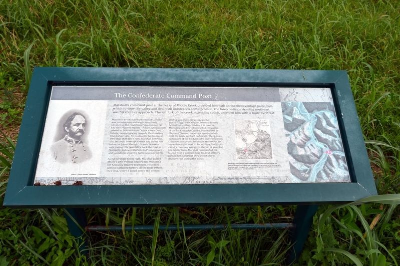
Marshall’s scouts had told him that Garfield was pursuing him and would most likely advance up the creek from Prestonsburg. He had also received reports–which was subsequently provided to be false–that Cranor’s 40th Ohio Infantry was advancing towards Prestonsburg from Salyersville. By positioning his troops at the Forks of Middle Creek, Marshall believed that he could intercept Cranor and defeat him before he joined Garfield. Cranor, however, anticipating this possibility, took the road to Paintsville, followed Garfield to Prestonsburg, and joined him while the battle was in progress.
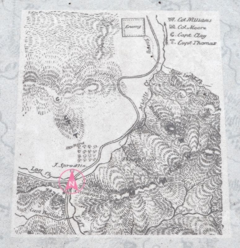
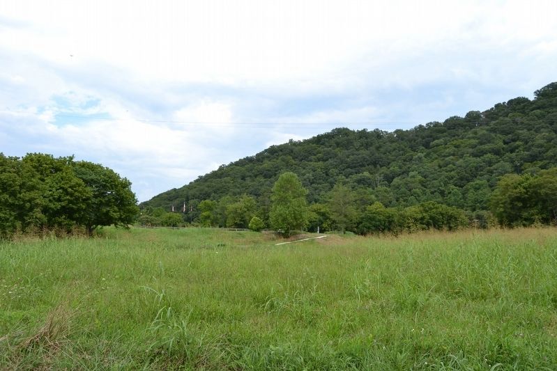
Along the ridge to his right, Marshall placed Moore’s 29th Virginia Infantry and Williams’s 5th Kentucky Infantry regiments. He placed Jeffress’s artillery battery on the ridge behind the Forks, where it could sweep the bottom land up and down the creek, and he placed Trigg’s 54th Virginia Infantry directly behind his artillery, holding it in reserve. Marshall placed two dismounted companies of the 1st Kentucky Cavalry, commanded by Clay and Thomas, on a ridge running north from the apple orchard on his left. Three more companies of the 1st Kentucky, under Shawhan, Cameron, and Stone, he held in reserve on his immediate right, next to his artillery. Holliday’s cavalry company was given the job of guarding his supply train. Marshall commanded his troops from a position near his four artillery pieces, believing that they would play a decisive role during the battle.
(Map Caption)
Marshall’s map (above) was drawn by hand from eye level, while the colored illustration (right) is a map based on a recent aerial photograph. You can easily compare the two by staring at the circled intersections to find the differences and similarities.
Topics. This historical marker is listed in this topic list: War, US Civil. A significant historical date for this entry is January 10, 1862.
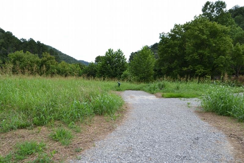
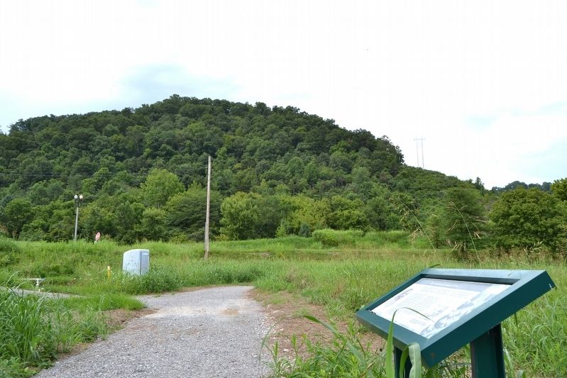
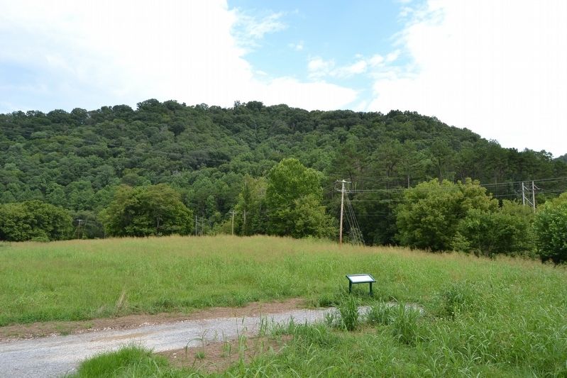
Location. 37° 39.029′ N, 82° 48.911′ W. Marker is near Prestonsburg, Kentucky, in Floyd County. Marker can be reached from State Highway 114, 0.1 miles east of State Highway 404, on the right when traveling east. Marker is located on the Confederate Trail at the Middle Creek National Battlefield; the above directions are to the battlefield parking area. Touch for map. Marker is in this post office area: Prestonsburg KY 41653, United States of America. Touch for directions.
Other nearby markers. At least 8 other markers are within walking distance of this marker. The Confederate Waiting Game (within shouting distance of this marker); Kentuckian versus Kentuckian (I) (about 400 feet away, measured in a direct line); The Middle Creek National Battlefield Foundation (about 400 feet away); Kentuckian versus Kentuckian (II) (about 400 feet away); Kentucky Blue Blood versus Ohio Self-Made Man (about 500 feet away); Eastern Kentucky's Civil War Battles and Skirmishes, 1861-1862 (about 500 feet away); Why They Fought Here (about 500 feet away); Eastern Kentucky's Civil War Battles and Skirmishes, 1863-1864 (about 500 feet away). Touch for a list and map of all markers in Prestonsburg.
More about this marker. The marker includes a portrait image of John S. "Cerro Gordo" Williams, a hand-drawn battlefield map by a Confederate staff officer, and an illustrated map based on recent aerial photograph.
Also see . . . Middle Creek National Battlefield. Official website of the Middle Creek National Battlefield Foundation. (Submitted on September 2, 2016.)
Credits. This page was last revised on September 2, 2016. It was originally submitted on September 2, 2016, by Duane Hall of Abilene, Texas. This page has been viewed 360 times since then and 16 times this year. Photos: 1, 2, 3, 4, 5, 6. submitted on September 2, 2016, by Duane Hall of Abilene, Texas.
