Near Manassas in Prince William County, Virginia — The American South (Mid-Atlantic)
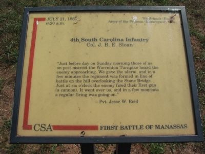
4th South Carolina Infantry
— First Battle of Manassas —
6:30 a.m.
7th Brigade (Evans)
Army of the Potomac (Beauregard), CSA
Col. J.B.E. Sloan
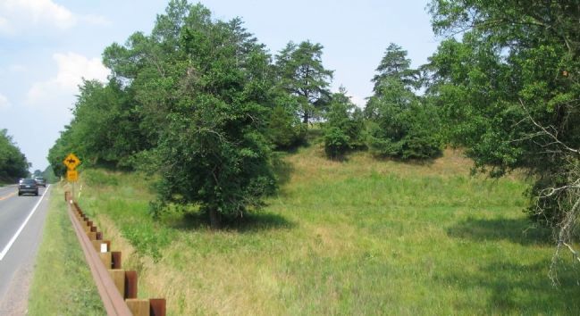
"Just before day on Sunday morning those of us on post nearest the Warrenton Turnpike heard the enemy approaching. We gave the alarm, and in a few minutes the regiment was formed in line of battle on the hill overlooking the Stone Bridge. Just at six o'clock the enemy fired their first gun (a cannon). It went over us, and in a few moments a regular firing was going on."
-Pvt. Jesse W. Reid
Topics. This historical marker is listed in this topic list: War, US Civil. A significant historical month for this entry is July 1861.
Location. 38° 49.398′ N, 77° 30.622′ W. Marker is near Manassas, Virginia, in Prince William County. Marker can be reached from Lee Highway (U.S. 29), on the right when traveling west. Located in the Manassas National Battlefield Park, along the Stone Bridge Trail loop. Touch for map. Marker is in this post office area: Manassas VA 20109, United States of America. Touch for directions.
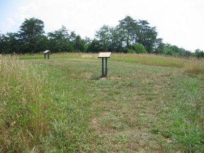
Other nearby markers. At least 8 other markers are within walking distance of this marker. Opening Shots (here, next to this marker); a different marker also named Opening Shots (a few steps from this marker); The Van Pelt House (about 600 feet away, measured in a direct line); Farm Ford (approx. 0.3 miles away); Union Retreat (approx. 0.4 miles away); Strategic Crossing (approx. 0.4 miles away); Stone Bridge (approx. 0.4 miles away); Robinson House (approx. 0.6 miles away). Touch for a list and map of all markers in Manassas.
Credits. This page was last revised on June 16, 2016. It was originally submitted on July 30, 2008, by Craig Swain of Leesburg, Virginia. This page has been viewed 1,577 times since then and 13 times this year. Photos: 1, 2, 3, 4. submitted on July 30, 2008, by Craig Swain of Leesburg, Virginia.


