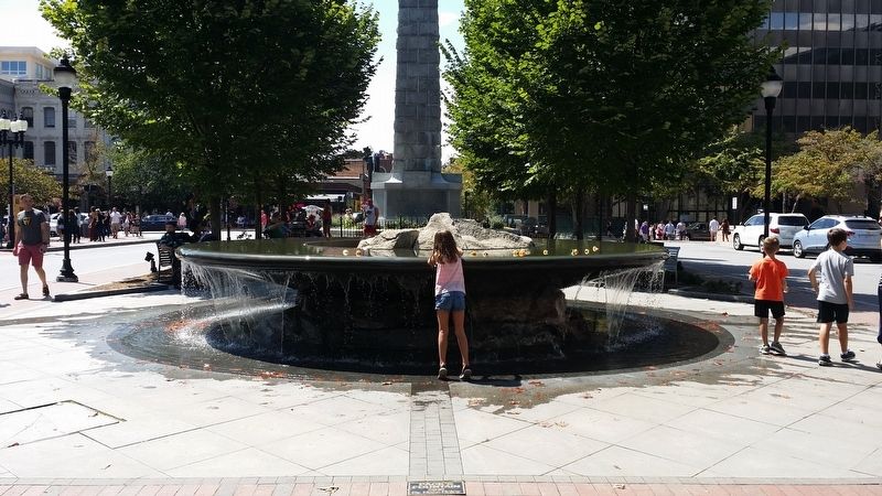
Asheville in Buncombe County, North Carolina — The American South (South Atlantic)
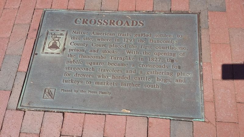
Crossroads
Placed by the Pless Family
Erected by Asheville Urban Trail.
Topics. This historical marker is listed in these topic lists: Industry & Commerce • Native Americans • Roads & Vehicles • Settlements & Settlers. A significant historical year for this entry is 1793.
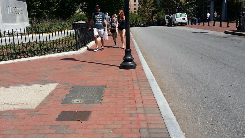
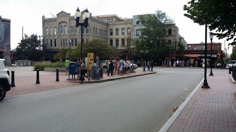
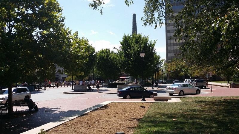
Location. 35° 35.7′ N, 82° 33.096′ W. Marker is in Asheville, North Carolina, in Buncombe County. Marker is at the intersection of North Pack Square (Alternate U.S. 74) and Broadway (U.S. 25), on the left when traveling east on North Pack Square. Touch for map. Marker is in this post office area: Asheville NC 28801, United States of America. Touch for directions.
Other nearby markers. At least 8 other markers are within walking distance of this marker. Zebulon Baird Vance (a few steps from this marker); The Early Years In Asheville's Historic Central Square (a few steps from this marker); Walk Into History (within shouting distance of this marker); Crossroads of Culture (within shouting distance of this marker); George Masa (within shouting distance of this marker); Monument Corner (about 300 feet away, measured in a direct line); Past and Promise (about 300 feet away); Stepping Out (about 300 feet away). Touch for a list and map of all markers in Asheville.
Also see . . . Asheville Urban Trail info. (Submitted on September 7, 2016, by Michael C. Wilcox of Winston-Salem, North Carolina.)
Credits. This page was last revised on September 8, 2016. It was originally submitted on September 7, 2016, by Michael C. Wilcox of Winston-Salem, North Carolina. This page has been viewed 418 times since then and 10 times this year. Photos: 1, 2, 3, 4, 5. submitted on September 7, 2016, by Michael C. Wilcox of Winston-Salem, North Carolina. • Bernard Fisher was the editor who published this page.
